1951 H D Atha Rd Monroe, GA 30655
Estimated Value: $700,000 - $1,025,779
About This Home
This home is located at 1951 H D Atha Rd, Monroe, GA 30655 and is currently estimated at $880,695, approximately $204 per square foot. 1951 H D Atha Rd is a home with nearby schools including Walnut Grove Elementary School, Youth Middle School, and Walnut Grove High School.
Ownership History
We collect this data history from publicly available records. To have your information removed, we recommend requesting removal directly through your county’s website.
Purchase Details
Purchase Details
Purchase Details
Home Values in the Area
Average Home Value in this Area
Purchase History
We collect this data history from publicly available records. To have your information removed, we recommend requesting removal directly through your county’s website.
| Date | Buyer | Sale Price | Title Company |
|---|---|---|---|
| $37,000 | -- | ||
| -- | -- | ||
| -- | -- |
Tax History
We collect this data history from publicly available records. To have your information removed, we recommend requesting removal directly through your county’s website.
| Year | Tax Paid | Tax Assessment Tax Assessment Total Assessment is a certain percentage of the fair market value that is determined by local assessors to be the total taxable value of land and additions on the property. | Land | Improvement |
|---|---|---|---|---|
| 2025 | $2,193 | $417,160 | $122,840 | $294,320 |
| 2024 | $1,963 | $409,960 | $122,840 | $287,120 |
| 2023 | $1,947 | $391,320 | $122,840 | $268,480 |
| 2022 | $1,836 | $361,720 | $92,120 | $269,600 |
| 2021 | $4,895 | $333,240 | $112,200 | $221,040 |
| 2020 | $1,951 | $301,600 | $89,760 | $211,840 |
| 2019 | $1,965 | $262,000 | $80,760 | $181,240 |
| 2018 | $1,972 | $262,000 | $80,760 | $181,240 |
| 2017 | $9,027 | $262,000 | $80,760 | $181,240 |
| 2016 | $4,905 | $232,760 | $80,760 | $152,000 |
| 2015 | $4,492 | $202,560 | $73,440 | $129,120 |
| 2014 | $4,098 | $173,680 | $0 | $0 |
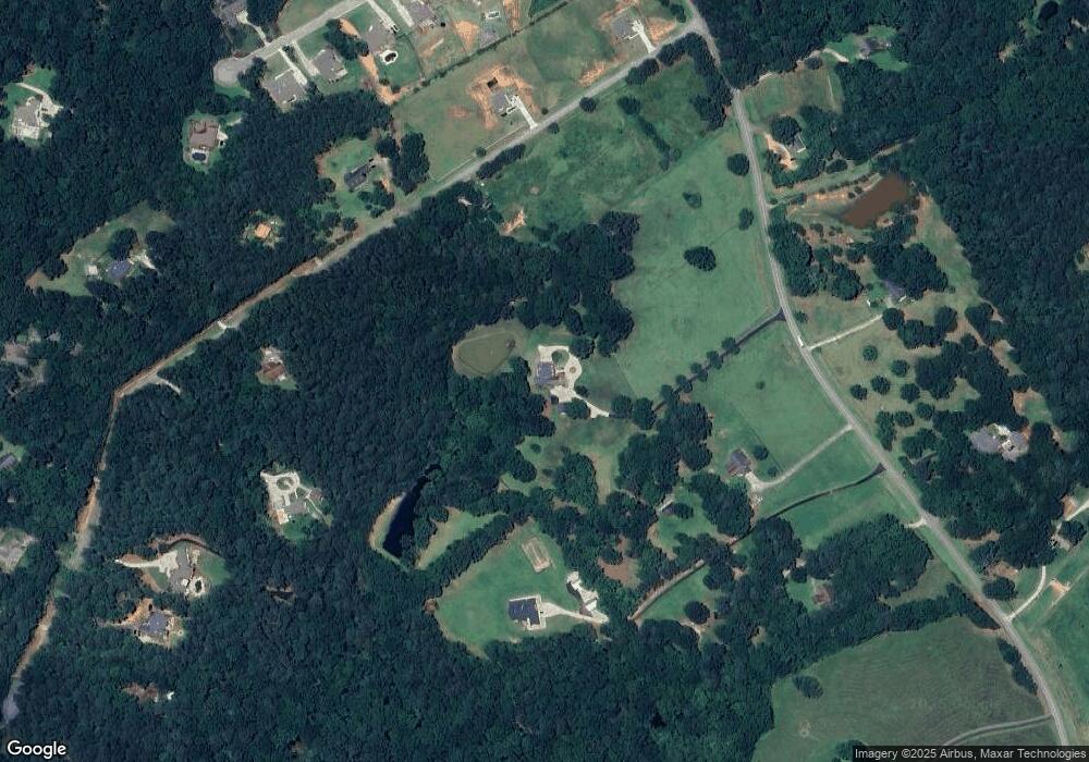
Map
- 2112 Meadowood Cove
- 2104 Meadowood Cove
- 2151 Kari Brook Dr
- 1715 Ammons Bridge Rd
- 235 Bella Dr
- 189 Bella Dr
- 3415 Davan Ln
- 558 Sterling Water Dr
- 43 Belmont Ct
- 1520 Rivermist Dr
- 492 Nunnally Farm Rd
- 543 Sterling Water Dr
- 2076 Highway 138 NW
- 446 Lakeshore Dr
- 1841 Highway 138 NW
- 635 Nunnally Farm Rd
- 7332 Lake Walton Blvd
- 4314 Sweetwater Ct
- 152 White Oak Way
- 720 Twin Pines Rd
- 2072 Laurel Gate Ln
- 1991 H D Atha Rd
- 2011 H D Atha Rd
- 2092 Laurel Gate Ln
- 2031 Laurel Gate Ln
- 2073 Laurel Gate Ln
- 2073 Laurel Gate Ln Unit 5 ACRES
- 2073 Laurel Gate Lane (5 Acres)
- 2112 Laurel Gate Ln
- 2093 Laurel Gate Ln
- 1910 H D Atha Rd
- 1910 H D Atha Rd
- 2001 Laurel Gate Ln
- 2122 Laurel Gate Ln
- 2120 Meadowood Cove
- 2124 Meadowood Cove Unit 11
- 2124 Meadowood Cove
- 2116 Meadowood Cove
- 2128 Meadowood Cove
- 2142 Laurel Gate Ln
Ask me questions while you tour the home.