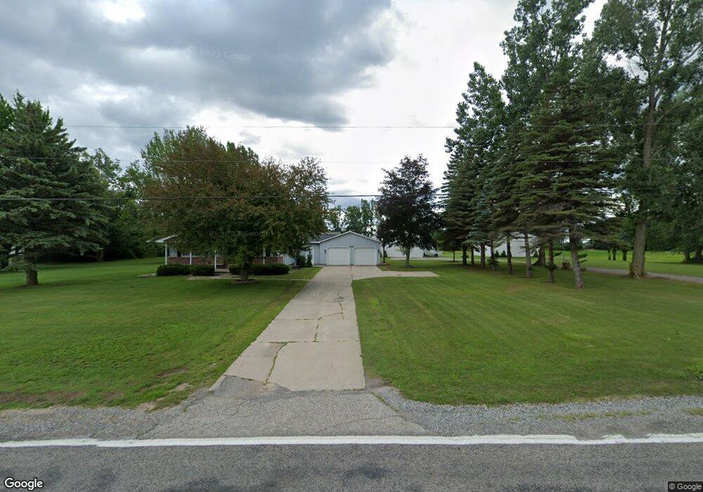
1951 Hotchkiss Rd Freeland, MI 48623
Estimated Value: $248,000 - $329,000
3
Beds
2
Baths
1,872
Sq Ft
$163/Sq Ft
Est. Value
About This Home
This home is located at 1951 Hotchkiss Rd, Freeland, MI 48623 and is currently estimated at $305,042, approximately $162 per square foot. 1951 Hotchkiss Rd is a home located in Saginaw County with nearby schools including Freeland Learning Center, Freeland Elementary School, and Freeland Middle/High School.
Ownership History
Date
Name
Owned For
Owner Type
Purchase Details
Closed on
May 15, 2007
Sold by
Bank Of New York
Bought by
Broom Thomas and Broom Dinae R
Current Estimated Value
Purchase Details
Closed on
May 5, 2000
Sold by
King Wayne V and King Susan A
Bought by
Lutz Theodore J and Lutz Connie M
Home Financials for this Owner
Home Financials are based on the most recent Mortgage that was taken out on this home.
Original Mortgage
$144,000
Interest Rate
8.26%
Create a Home Valuation Report for This Property
The Home Valuation Report is an in-depth analysis detailing your home's value as well as a comparison with similar homes in the area
Home Values in the Area
Average Home Value in this Area
Purchase History
| Date | Buyer | Sale Price | Title Company |
|---|---|---|---|
| Broom Thomas | $142,000 | -- | |
| Lutz Theodore J | $160,000 | -- | |
| -- | $160,000 | -- |
Source: Public Records
Mortgage History
| Date | Status | Borrower | Loan Amount |
|---|---|---|---|
| Previous Owner | -- | $144,000 |
Source: Public Records
Tax History Compared to Growth
Tax History
| Year | Tax Paid | Tax Assessment Tax Assessment Total Assessment is a certain percentage of the fair market value that is determined by local assessors to be the total taxable value of land and additions on the property. | Land | Improvement |
|---|---|---|---|---|
| 2025 | $3,931 | $152,700 | $0 | $0 |
| 2024 | $1,128 | $131,700 | $0 | $0 |
| 2023 | $1,074 | $115,800 | $0 | $0 |
| 2022 | $3,227 | $109,200 | $0 | $0 |
| 2021 | $2,942 | $102,400 | $0 | $0 |
| 2020 | $2,851 | $95,600 | $0 | $0 |
| 2019 | $2,769 | $92,800 | $0 | $0 |
| 2018 | $937 | $90,200 | $0 | $0 |
| 2017 | $2,476 | $89,700 | $0 | $0 |
| 2016 | $2,457 | $84,500 | $0 | $0 |
| 2014 | -- | $84,200 | $0 | $64,700 |
| 2013 | -- | $83,200 | $0 | $0 |
Source: Public Records
Map
Nearby Homes
- 10832 Carter Rd
- 10399 Webster Rd
- 5749 11 Mile Rd
- 10585 Prairie View Ct
- 8981 Highland Dr
- 0 Foxtail Trail Unit 50182332
- 8884 Copper Ct
- 8657 Foxtail Trail
- 4956 W Bis Rd
- 8630 Foxtail Trail
- 9924 Garner Ln
- 4806 Northridge
- 8599 Ashland Place
- 8483 N River Rock River Rock Unit 8487
- 8535 Summer Ridge Dr
- 4745 Bailey Bridge Rd
- 1598 Fisherville Ct
- 1587 Fisherville Ct
- 0 W Midland Rd Unit 50189337
- 0 W Midland Rd Unit 50152278
- 1913 Hotchkiss Rd
- 1920 Hotchkiss Rd
- 11000 Carter Rd
- 11000 Carter Road - Parcel #9
- 1933 Hotchkiss Rd
- 11000 Carter Vl Parcel #4
- Lot 14 Dice
- 1982 Hotchkiss Rd
- 1964 Hotchkiss Rd
- 1900 Hotchkiss Rd
- 10955 Carter Rd
- 1895 Hotchkiss Rd
- 10915 Carter Rd
- 1894 Hotchkiss Rd
- 5951 Carter Rd
- 10875 Carter Rd
- 2054 Hotchkiss Rd
- 2058 Hotchkiss Rd
- 10800 Carter Rd
- 1865 Hotchkiss Rd