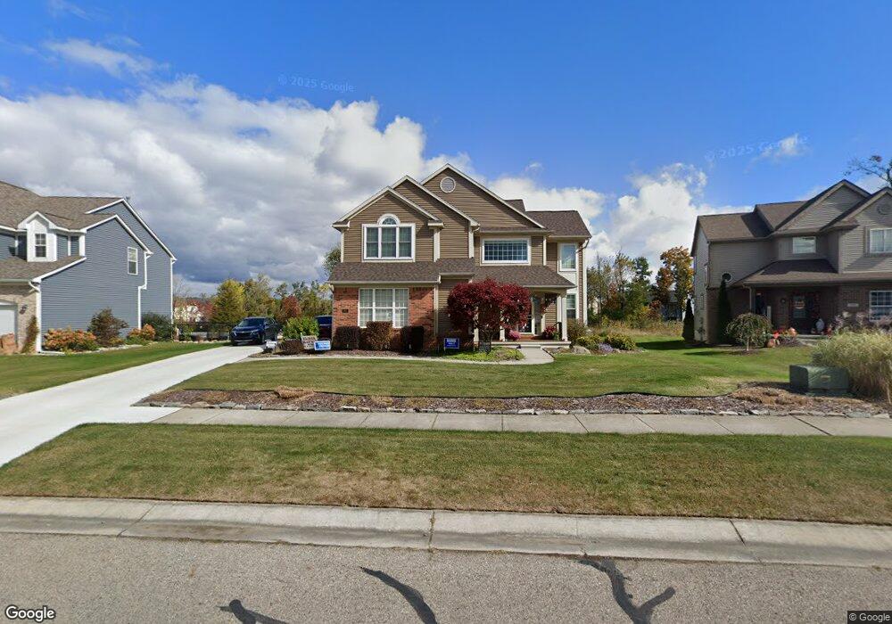
1951 Howland Blvd Unit 149 White Lake, MI 48386
Estimated Value: $410,777 - $497,000
3
Beds
3
Baths
1,861
Sq Ft
$249/Sq Ft
Est. Value
About This Home
This home is located at 1951 Howland Blvd Unit 149, White Lake, MI 48386 and is currently estimated at $464,194, approximately $249 per square foot. 1951 Howland Blvd Unit 149 is a home located in Oakland County with nearby schools including St. Patrick School and Lakecrest Baptist School.
Ownership History
Date
Name
Owned For
Owner Type
Purchase Details
Closed on
Sep 15, 2005
Sold by
Intech Homes Llc
Bought by
Baker David and Min Lynda
Current Estimated Value
Home Financials for this Owner
Home Financials are based on the most recent Mortgage that was taken out on this home.
Original Mortgage
$203,000
Outstanding Balance
$109,627
Interest Rate
6%
Mortgage Type
Fannie Mae Freddie Mac
Estimated Equity
$354,567
Create a Home Valuation Report for This Property
The Home Valuation Report is an in-depth analysis detailing your home's value as well as a comparison with similar homes in the area
Home Values in the Area
Average Home Value in this Area
Purchase History
| Date | Buyer | Sale Price | Title Company |
|---|---|---|---|
| Baker David | $290,000 | Philip R Seaver Title Co Inc |
Source: Public Records
Mortgage History
| Date | Status | Borrower | Loan Amount |
|---|---|---|---|
| Open | Baker David | $203,000 | |
| Closed | Baker David | $87,000 |
Source: Public Records
Tax History Compared to Growth
Tax History
| Year | Tax Paid | Tax Assessment Tax Assessment Total Assessment is a certain percentage of the fair market value that is determined by local assessors to be the total taxable value of land and additions on the property. | Land | Improvement |
|---|---|---|---|---|
| 2024 | $2,271 | $167,540 | $0 | $0 |
| 2023 | $2,166 | $143,800 | $0 | $0 |
| 2022 | $3,368 | $136,860 | $0 | $0 |
| 2021 | $3,151 | $136,360 | $0 | $0 |
| 2020 | $1,983 | $133,230 | $0 | $0 |
| 2019 | $3,063 | $124,410 | $0 | $0 |
| 2018 | $2,995 | $106,290 | $0 | $0 |
| 2017 | $2,804 | $106,290 | $0 | $0 |
| 2016 | $2,797 | $102,700 | $0 | $0 |
| 2015 | -- | $97,910 | $0 | $0 |
| 2014 | -- | $83,520 | $0 | $0 |
| 2011 | -- | $76,980 | $0 | $0 |
Source: Public Records
Map
Nearby Homes
- 9470 Pontiac Lake Rd
- 1940 Laflamme Ct
- 1965 Laflamme Ct
- 181 Highland Terrace
- 21 Highland Terrace
- 228 Greenhill Dr
- 1800 Teggerdine Rd
- 9910 Highland Rd
- 010770 Highland Rd
- 00000 Teggerdine Rd
- 1052 Maple Heights Dr
- 820 Hilltop Dr
- 9136 Buckingham St
- 694 Robar Cir
- 2019 Kingston St
- Vacant Land Tackles Dr
- 9055 Gale Rd
- 9047 Gale Rd
- 9058 Rhyan Rd
- 9056 Rhyan Rd
- 1959 Howland Blvd Unit 148
- 1943 Howland Blvd
- 1935 Howland Blvd Unit 151
- 1967 Howland Blvd Unit 147
- 1944 Howland Blvd Unit 159
- 1936 Howland Blvd
- 1952 Howland Blvd Unit 160
- 1927 Howland Blvd Unit 152
- 1975 Howland Blvd
- 9735 Pontiac Lake Rd
- 1928 Howland Blvd
- 1958 Margie Dr
- 1942 Margie Dr Unit 10
- 1960 Howland Blvd
- 1950 Margie Dr
- 1934 Margie Dr Unit 9
- 1968 Howland Blvd
- 1966 Margie Dr
- 1919 Howland Blvd
- 1983 Howland Blvd Unit 145