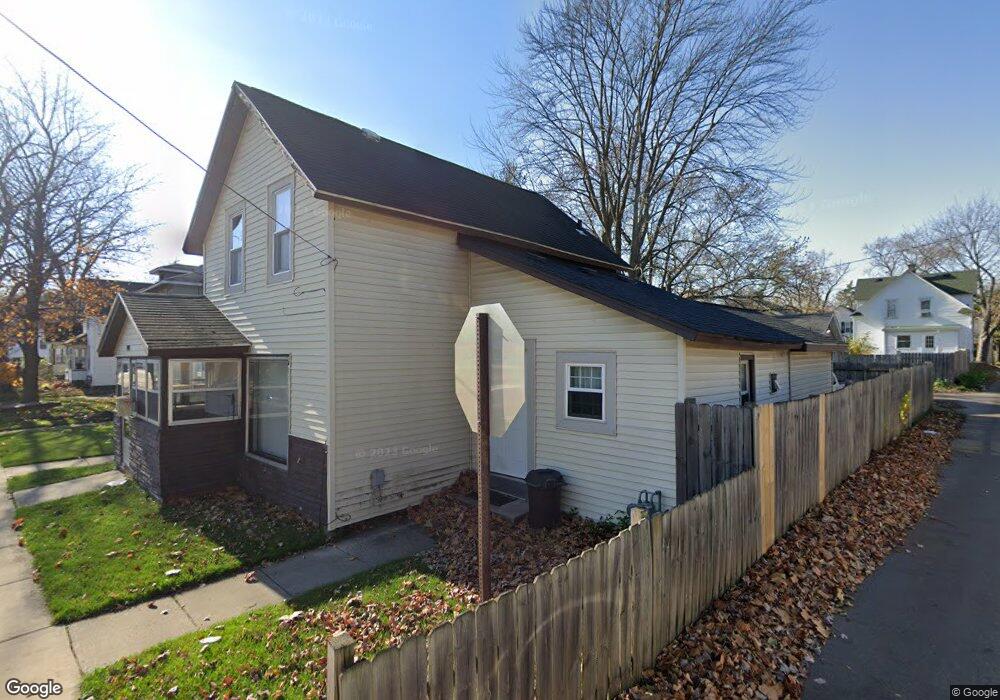
1951 Kamp Ave SW Wyoming, MI 49509
Urbandale NeighborhoodEstimated Value: $210,000 - $228,000
3
Beds
1
Bath
968
Sq Ft
$225/Sq Ft
Est. Value
About This Home
This home is located at 1951 Kamp Ave SW, Wyoming, MI 49509 and is currently estimated at $218,060, approximately $225 per square foot. 1951 Kamp Ave SW is a home located in Kent County with nearby schools including Godfrey Elementary School, Lee Middle & High School, and Potters House School.
Ownership History
Date
Name
Owned For
Owner Type
Purchase Details
Closed on
Mar 26, 2003
Sold by
Hud
Bought by
Hernandez Jesus
Current Estimated Value
Home Financials for this Owner
Home Financials are based on the most recent Mortgage that was taken out on this home.
Original Mortgage
$45,000
Outstanding Balance
$19,430
Interest Rate
5.94%
Mortgage Type
Purchase Money Mortgage
Estimated Equity
$198,630
Purchase Details
Closed on
Dec 3, 2002
Sold by
Wells Fargo Home Mortgage Inc
Bought by
Hud
Purchase Details
Closed on
Jul 11, 2000
Create a Home Valuation Report for This Property
The Home Valuation Report is an in-depth analysis detailing your home's value as well as a comparison with similar homes in the area
Home Values in the Area
Average Home Value in this Area
Purchase History
| Date | Buyer | Sale Price | Title Company |
|---|---|---|---|
| Hernandez Jesus | $47,400 | -- | |
| Hud | -- | -- | |
| -- | $65,000 | -- |
Source: Public Records
Mortgage History
| Date | Status | Borrower | Loan Amount |
|---|---|---|---|
| Open | Hernandez Jesus | $45,000 |
Source: Public Records
Tax History Compared to Growth
Tax History
| Year | Tax Paid | Tax Assessment Tax Assessment Total Assessment is a certain percentage of the fair market value that is determined by local assessors to be the total taxable value of land and additions on the property. | Land | Improvement |
|---|---|---|---|---|
| 2025 | $2,208 | $91,700 | $0 | $0 |
| 2024 | $2,208 | $78,700 | $0 | $0 |
| 2023 | $2,210 | $72,500 | $0 | $0 |
| 2022 | $2,063 | $64,300 | $0 | $0 |
| 2021 | $2,014 | $58,000 | $0 | $0 |
| 2020 | $1,854 | $49,800 | $0 | $0 |
| 2019 | $1,917 | $43,600 | $0 | $0 |
| 2018 | $1,850 | $36,600 | $0 | $0 |
| 2017 | $1,807 | $31,200 | $0 | $0 |
| 2016 | $1,762 | $28,200 | $0 | $0 |
| 2015 | $1,746 | $28,200 | $0 | $0 |
| 2013 | -- | $25,600 | $0 | $0 |
Source: Public Records
Map
Nearby Homes
- 1955 Hendricks Ave SW
- 2101 Godfrey Ave SW
- 2117 Denwood Ave SW
- 1946 Martindale Ave SW
- 2107 Huizen Ave SW
- 1736 Wendler Ave SW
- 922 Burton St SW
- 1715 Godfrey Ave SW
- 1917 Osmer Ave SW
- 1850 Federal Ave SW
- 2050 Arnold Ave SW
- 1112 Albers St SW
- 886 Belfield St SW Unit 7
- 2151 Banner Dr SW Unit F
- 1750 Berkley Ave SW
- 2140 Banner Dr SW
- 1945 Delwood Ave SW
- 2185 Clyde Park Ave SW
- 1829 Delwood Ave SW
- 1739 Berkley Ave SW
- 1955 Kamp Ave SW
- 1959 Kamp Ave SW
- 1950 Hendricks Ave SW
- 1132 Hudson St SW
- 1954 Hendricks Ave SW
- 1963 Kamp Ave SW
- 1124 Hudson St SW
- 1136 Hudson St SW
- 1958 Hendricks Ave SW
- 1954 Kamp Ave SW
- 1140 Hudson St SW
- 1967 Kamp Ave SW
- 1962 Hendricks Ave SW
- 1958 Kamp Ave SW
- 1120 Hudson St SW
- 1146 Hudson St SW
- 1962 Kamp Ave SW
- 1966 Hendricks Ave SW
- 1968 Kamp Ave SW
- 1150 Hudson St SW