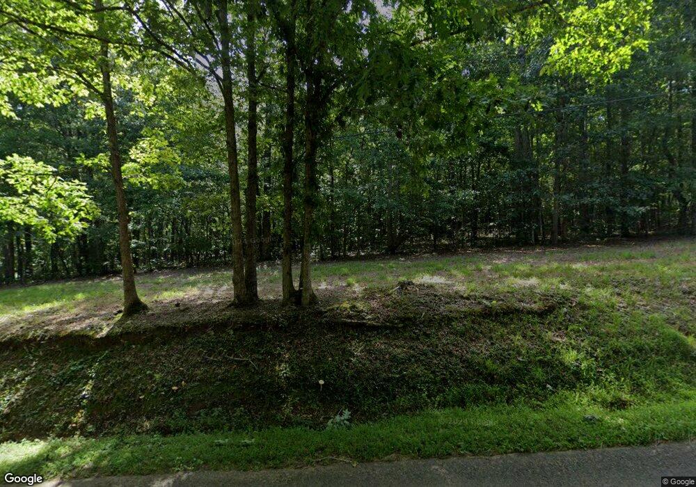
1951 Knight Rd Ellijay, GA 30540
Estimated Value: $557,126 - $649,000
--
Bed
3
Baths
2,471
Sq Ft
$242/Sq Ft
Est. Value
About This Home
This home is located at 1951 Knight Rd, Ellijay, GA 30540 and is currently estimated at $598,042, approximately $242 per square foot. 1951 Knight Rd is a home located in Gilmer County with nearby schools including Ellijay Elementary School, Clear Creek Elementary School, and Clear Creek Middle School.
Ownership History
Date
Name
Owned For
Owner Type
Purchase Details
Closed on
Jul 31, 2023
Sold by
Totherow David R
Bought by
Totherow Angela F Tr and Totherow David R Tr
Current Estimated Value
Purchase Details
Closed on
Sep 23, 2022
Sold by
Totherow David
Bought by
Totherow Harold Steven
Purchase Details
Closed on
Jan 10, 2007
Sold by
Strawbridge James C
Bought by
Totherow David R and Totherow Angela F
Purchase Details
Closed on
Mar 12, 2004
Sold by
Strawbridge James C
Bought by
Totherow David
Create a Home Valuation Report for This Property
The Home Valuation Report is an in-depth analysis detailing your home's value as well as a comparison with similar homes in the area
Home Values in the Area
Average Home Value in this Area
Purchase History
| Date | Buyer | Sale Price | Title Company |
|---|---|---|---|
| Totherow Angela F Tr | -- | -- | |
| Totherow Harold Steven | -- | -- | |
| Totherow David R | -- | -- | |
| Totherow David | $39,600 | -- |
Source: Public Records
Tax History Compared to Growth
Tax History
| Year | Tax Paid | Tax Assessment Tax Assessment Total Assessment is a certain percentage of the fair market value that is determined by local assessors to be the total taxable value of land and additions on the property. | Land | Improvement |
|---|---|---|---|---|
| 2024 | $3,049 | $203,400 | $27,840 | $175,560 |
| 2023 | $3,148 | $203,400 | $27,840 | $175,560 |
| 2022 | $3,221 | $226,720 | $35,960 | $190,760 |
| 2021 | $3,500 | $178,280 | $31,560 | $146,720 |
| 2020 | $2,944 | $162,480 | $30,760 | $131,720 |
| 2019 | $3,028 | $162,480 | $30,760 | $131,720 |
| 2018 | $2,979 | $158,720 | $30,760 | $127,960 |
| 2017 | $2,873 | $145,760 | $30,760 | $115,000 |
| 2016 | $2,963 | $147,120 | $30,760 | $116,360 |
| 2015 | $3,148 | $151,400 | $25,240 | $126,160 |
| 2014 | $3,213 | $149,200 | $25,240 | $123,960 |
| 2013 | -- | $151,400 | $25,240 | $126,160 |
Source: Public Records
Map
Nearby Homes
- 82 Orman Dr
- 430 Cajun Dr
- 4.7 Acre Georgia 382
- 385 Lakeside Park Dr
- 8 Linda Ln
- 177 Creekside Landing
- Lt 291 Creekside Trail
- 351 Creekside Dr
- 100 Carters View Dr
- 248 Tilly Farm Rd
- 0 Deer Ln
- LOT 65 Bridge Rd
- LOT 67 Bridge Rd
- LOT 48 Lower Creek Trail
- Lot 49 Lower Creek Trail
- 145 Knight Rd
- 0 Nexus Dr Unit 10596799
- 756 Linger Longer Dr
- 562 Linger Longer Dr
- 619 Linger Longer Dr
- 2055 Knight Rd
- 2035 Knight Rd
- 1875 Knight Rd
- 0 Barnes Mountain - Knight Rd Unit 295685
- 0 Barnes Mountain - Knight Rd Unit 8580885
- 2239 Knight Rd
- 2120 Knight Rd
- 2064 Knight Rd
- 1914 Knight Rd
- 1655 Knight Rd
- 35 Orman Dr
- 51 Orman Dr
- 46 Orman Dr
- 46 Orman Dr Unit 6
- 96 Orman Dr
- 547 Barnes Mountain Rd
- 2441 Knight Rd
- 92 Orman Dr
- 2422 Knight Rd
- 26 Cajun Dr
