1951 Little Rd Jamestown, OH 45335
Estimated Value: $430,000 - $659,000
4
Beds
3
Baths
3,800
Sq Ft
$130/Sq Ft
Est. Value
About This Home
This home is located at 1951 Little Rd, Jamestown, OH 45335 and is currently estimated at $494,135, approximately $130 per square foot. 1951 Little Rd is a home located in Greene County with nearby schools including Greeneview Elementary School, Greeneview Middle School, and Greeneview High School.
Ownership History
Date
Name
Owned For
Owner Type
Purchase Details
Closed on
Feb 19, 2021
Sold by
Hudson Richard A and Hudson Sarah L
Bought by
Fouts Richard Curtis and Fouts Amy Renee
Current Estimated Value
Home Financials for this Owner
Home Financials are based on the most recent Mortgage that was taken out on this home.
Original Mortgage
$271,000
Interest Rate
2.7%
Mortgage Type
FHA
Create a Home Valuation Report for This Property
The Home Valuation Report is an in-depth analysis detailing your home's value as well as a comparison with similar homes in the area
Home Values in the Area
Average Home Value in this Area
Purchase History
| Date | Buyer | Sale Price | Title Company |
|---|---|---|---|
| Fouts Richard Curtis | $320,000 | First Ohio Title Insurance |
Source: Public Records
Mortgage History
| Date | Status | Borrower | Loan Amount |
|---|---|---|---|
| Closed | Fouts Richard Curtis | $271,000 |
Source: Public Records
Tax History Compared to Growth
Tax History
| Year | Tax Paid | Tax Assessment Tax Assessment Total Assessment is a certain percentage of the fair market value that is determined by local assessors to be the total taxable value of land and additions on the property. | Land | Improvement |
|---|---|---|---|---|
| 2024 | $4,868 | $134,270 | $17,850 | $116,420 |
| 2023 | $4,868 | $134,270 | $17,850 | $116,420 |
| 2022 | $3,856 | $94,250 | $15,400 | $78,850 |
| 2021 | $3,441 | $85,380 | $15,400 | $69,980 |
| 2020 | $3,447 | $85,380 | $15,400 | $69,980 |
| 2019 | $3,175 | $76,980 | $13,440 | $63,540 |
| 2018 | $3,192 | $76,980 | $13,440 | $63,540 |
| 2017 | $3,018 | $76,980 | $13,440 | $63,540 |
| 2016 | $3,096 | $74,850 | $12,040 | $62,810 |
| 2015 | $3,084 | $74,850 | $12,040 | $62,810 |
| 2014 | $2,943 | $74,850 | $12,040 | $62,810 |
Source: Public Records
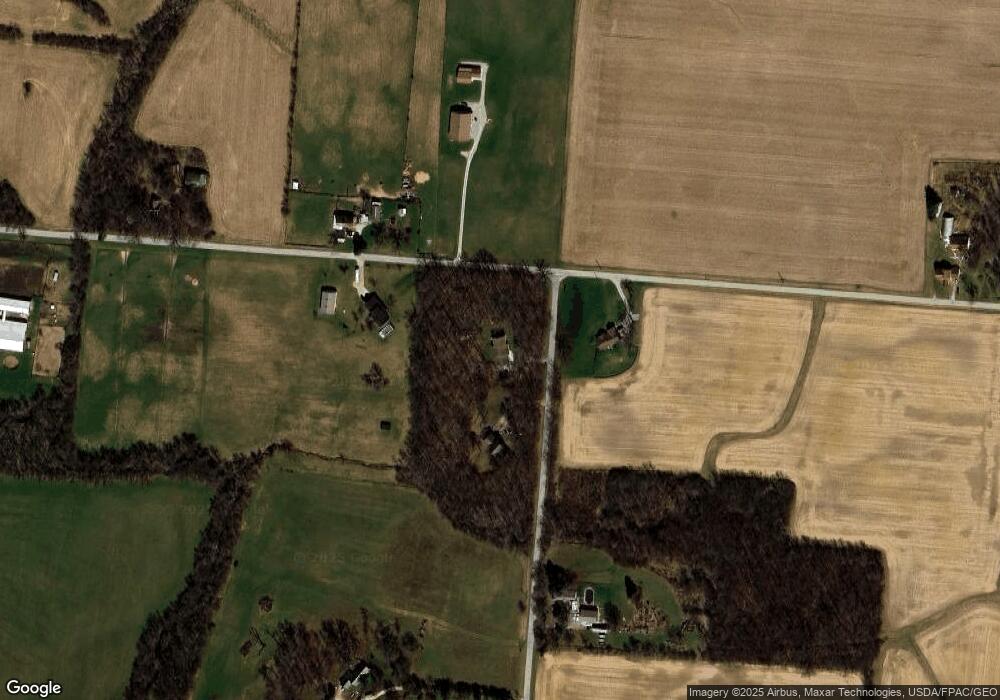
Map
Nearby Homes
- 12960 N High St
- 7201 Cleveland St
- 7110 E Main St
- 643 Brickel Rd
- 978 State Route 72 N
- 0 Brickel Rd Unit 1850484
- 280 S Charleston Rd
- 8 Maplewood Dr
- 5852 Old Us Route 35 E
- 4620 82 1/2 x 161 Nelson St
- 55 E Xenia St
- 12.139ac Cherry Grove Rd
- 21 E Xenia St
- 21 S Buckles Ave
- 26 S Limestone St
- 56 W Xenia St
- 14 Brookside St
- 3 Brookside St
- 973 Garringer Rd
- 4.377 ac Cherry Grove Rd
- 1939 Little Rd
- 1970 Gordon Rd
- 1870 Little Rd
- 1855 Little Rd
- 1715 Gordon Rd
- 2039 Gordon Rd
- 1807 Little Rd
- 2059 Gordon Rd
- 1781 Little Rd
- 1730 Gordon Rd
- 2079 Gordon Rd
- 1740 Little Rd
- 2135 S Charleston Rd
- 2099 Gordon Rd
- 2099 Gordon Rd
- 2068 S Charleston Rd
- 1921 S Charleston Rd
- 1981 S Charleston Rd
- 6556 Grape Grove Rd
- 6566 Grape Grove Rd