1951 N Sunset Strip Tahlequah, OK 74464
Estimated Value: $149,000 - $312,000
3
Beds
2
Baths
1,377
Sq Ft
$174/Sq Ft
Est. Value
About This Home
This home is located at 1951 N Sunset Strip, Tahlequah, OK 74464 and is currently estimated at $239,384, approximately $173 per square foot. 1951 N Sunset Strip is a home located in Cherokee County with nearby schools including Briggs Public School and Boudinot Christian School.
Ownership History
Date
Name
Owned For
Owner Type
Purchase Details
Closed on
Dec 12, 2023
Sold by
Homes By Shockley Llc
Bought by
Tahlequah Area Habitat For Humanity Inc
Current Estimated Value
Purchase Details
Closed on
Mar 21, 2022
Sold by
Landmark Construction And Development Ll
Bought by
Homes By Shockley Llc
Purchase Details
Closed on
Dec 5, 1906
Sold by
Cherokee Nation
Bought by
Booten Elizabeth L
Create a Home Valuation Report for This Property
The Home Valuation Report is an in-depth analysis detailing your home's value as well as a comparison with similar homes in the area
Home Values in the Area
Average Home Value in this Area
Purchase History
| Date | Buyer | Sale Price | Title Company |
|---|---|---|---|
| Tahlequah Area Habitat For Humanity Inc | $32,500 | Infinity Title | |
| Homes By Shockley Llc | -- | None Listed On Document | |
| Booten Elizabeth L | -- | None Listed On Document |
Source: Public Records
Tax History Compared to Growth
Tax History
| Year | Tax Paid | Tax Assessment Tax Assessment Total Assessment is a certain percentage of the fair market value that is determined by local assessors to be the total taxable value of land and additions on the property. | Land | Improvement |
|---|---|---|---|---|
| 2025 | $64 | $811 | $811 | $0 |
| 2024 | $64 | $773 | $773 | $0 |
| 2023 | $64 | $736 | $736 | $0 |
| 2022 | $52 | $736 | $736 | $0 |
| 2021 | $21 | $295 | $295 | $0 |
| 2020 | $20 | $281 | $281 | $0 |
| 2019 | $21 | $268 | $268 | $0 |
| 2018 | $20 | $255 | $255 | $0 |
| 2017 | $19 | $243 | $243 | $0 |
| 2016 | $18 | $232 | $232 | $0 |
| 2015 | $17 | $221 | $221 | $0 |
| 2014 | $17 | $210 | $210 | $0 |
Source: Public Records
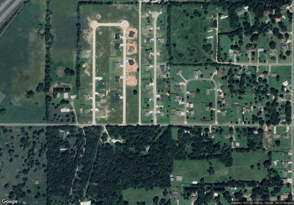
Map
Nearby Homes
- 24500 E 741 Rd
- 17022 S 579 Rd
- 8147 N 544 Rd
- 0 S Cary Ln
- 25182 E 770 Rd
- 22678 Sunrise Ridge Dr
- 469581 E 815 Rd
- 16527 N Highway 10
- 81134 S 4720 Rd
- 81118 S 4725 Rd
- 0 Alder Way
- 0 Hwy 10 N Unit 2514793
- 202 Alder Way
- 206 Alder Way
- 912 Summit Ridge Ct
- 105 Summit Ridge Dr
- 14554 N 603 Rd
- 0000 E Salvation Rd
- 26986 Highway 51
- 2205 Oakridge Dr
- 2041 N Sunset Strip
- 1981 N Sunset Strip
- 686 Ridgeview Dr
- 1920 N Sunset Strip
- 1921 N Sunset Strip
- 1950 N Sunset Strip
- 2101 N Sunset Strip
- 16539 N 573 Rd
- 16521 N 573 Rd
- 600 Falls Cir
- 16460 N 573 Rd
- 16480 N 573 Rd
- 16477 N 573 Rd
- 1980 N Sunset Strip
- 16416 N 573 Rd
- 2000 N Sunset Strip
- 16437 N 573 Rd
- 2071 N Sunset Strip
- 16499 N 573 Rd
- 2001 N Sunset Strip