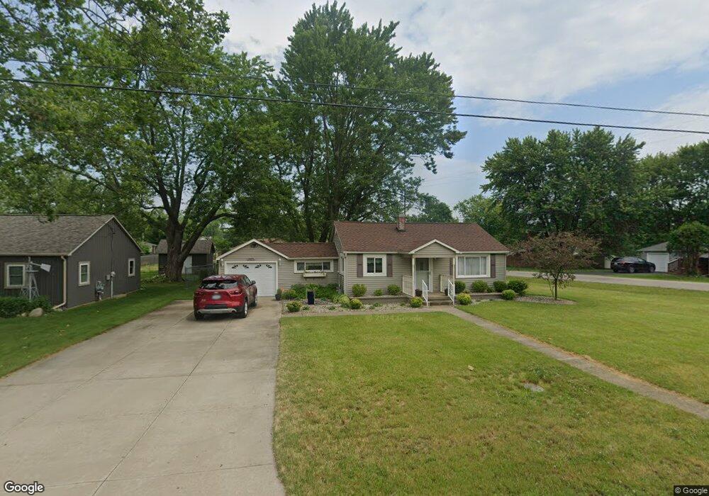
1951 Owosso Ave Owosso, MI 48867
Estimated Value: $131,000 - $156,000
3
Beds
1
Bath
1,080
Sq Ft
$134/Sq Ft
Est. Value
About This Home
This home is located at 1951 Owosso Ave, Owosso, MI 48867 and is currently estimated at $144,633, approximately $133 per square foot. 1951 Owosso Ave is a home located in Shiawassee County with nearby schools including Corunna High School, St. Paul Catholic School, and St. Joseph School.
Ownership History
Date
Name
Owned For
Owner Type
Purchase Details
Closed on
Nov 16, 2020
Sold by
Skym Vickie L
Bought by
Luchenbill Nicholas
Current Estimated Value
Home Financials for this Owner
Home Financials are based on the most recent Mortgage that was taken out on this home.
Original Mortgage
$54,400
Outstanding Balance
$48,408
Interest Rate
2.8%
Mortgage Type
New Conventional
Estimated Equity
$96,225
Purchase Details
Closed on
Apr 23, 2014
Sold by
Jessen Sandra K and Estate Of Phyllis J Jessen
Bought by
Jessen Sandra K and Jessen Arnold G
Create a Home Valuation Report for This Property
The Home Valuation Report is an in-depth analysis detailing your home's value as well as a comparison with similar homes in the area
Home Values in the Area
Average Home Value in this Area
Purchase History
| Date | Buyer | Sale Price | Title Company |
|---|---|---|---|
| Luchenbill Nicholas | $68,000 | Ata National Title Group Llc | |
| Jessen Sandra K | -- | -- |
Source: Public Records
Mortgage History
| Date | Status | Borrower | Loan Amount |
|---|---|---|---|
| Open | Luchenbill Nicholas | $54,400 |
Source: Public Records
Tax History Compared to Growth
Tax History
| Year | Tax Paid | Tax Assessment Tax Assessment Total Assessment is a certain percentage of the fair market value that is determined by local assessors to be the total taxable value of land and additions on the property. | Land | Improvement |
|---|---|---|---|---|
| 2025 | $861 | $56,400 | $0 | $0 |
| 2024 | $861 | $51,000 | $0 | $0 |
| 2023 | $370 | $46,600 | $0 | $0 |
| 2022 | $441 | $39,000 | $0 | $0 |
| 2021 | $771 | $36,000 | $0 | $0 |
| 2020 | $417 | $33,100 | $0 | $0 |
| 2019 | $622 | $30,000 | $0 | $0 |
| 2018 | $734 | $29,500 | $0 | $0 |
| 2017 | $699 | $27,100 | $0 | $0 |
| 2016 | -- | $27,100 | $0 | $0 |
| 2015 | -- | $27,400 | $0 | $0 |
| 2014 | -- | $25,900 | $0 | $0 |
Source: Public Records
Map
Nearby Homes
- 1856 Owosso Ave
- 628 Aiken St
- 1605 Corunna Ave
- Parcel A Aiken Rd
- 611 Beck Ave
- 644 Hillside Dr
- V/L Short St
- 808 Corunna Ave
- 702 Glenwood Ave
- 915 Corunna Ave
- V/L E Main St
- 755 Woodlawn Ave
- 637 Woodvalley Dr
- 432 Oakwood Ave
- 304 W Corunna Ave
- 609 Broadway Ave
- 619 Huron St
- 827 Lingle Ave
- 800 E Main St
- 201 N Woodworth St
- 1945 Owosso Ave
- 814 Division Rd
- 2001 Owosso Ave
- 2002 Kilbourn Ave
- 1941 Owosso Ave
- 1944 Kilbourn Ave
- 2008 Kilbourn Ave
- 2011 Owosso Ave
- 2000 Owosso Ave
- 1935 Owosso Ave
- 1951 Corunna Ave
- 2010 Kilbourn Ave
- 1934 Owosso Ave
- 715 Division Rd
- 1923 Corunna Ave
- 2003 Kilbourn Ave
- 1930 Kilbourn Ave
- 1932 Kilbourn Ave
- 1943 Kilbourn Ave
- 2001 Corunna Ave