1951 Reed Ln Mobile, AL 36695
Outer West Mobile NeighborhoodEstimated Value: $89,000 - $281,000
--
Bed
2
Baths
2,029
Sq Ft
$89/Sq Ft
Est. Value
About This Home
This home is located at 1951 Reed Ln, Mobile, AL 36695 and is currently estimated at $180,452, approximately $88 per square foot. 1951 Reed Ln is a home located in Mobile County with nearby schools including Hutchens Elementary School, Dawes Intermediate School, and Bernice J Causey Middle School.
Ownership History
Date
Name
Owned For
Owner Type
Purchase Details
Closed on
May 20, 2020
Sold by
Secretary Of Hsng & Urban Dev Of Wa D C
Bought by
Wharton Ricky and Wharton Toni
Current Estimated Value
Home Financials for this Owner
Home Financials are based on the most recent Mortgage that was taken out on this home.
Original Mortgage
$85,000
Outstanding Balance
$75,322
Interest Rate
3.3%
Mortgage Type
Future Advance Clause Open End Mortgage
Estimated Equity
$105,130
Purchase Details
Closed on
Jan 3, 2020
Sold by
Cenlar Fsb
Bought by
Secretary Of Housing And Urban Dev
Purchase Details
Closed on
Apr 7, 2013
Sold by
Cenlar Fsb
Bought by
Secretary Of Hud
Purchase Details
Closed on
Feb 21, 2013
Sold by
Coleman Rose and Coleman Rose Marie
Bought by
Cenlar Fsb
Create a Home Valuation Report for This Property
The Home Valuation Report is an in-depth analysis detailing your home's value as well as a comparison with similar homes in the area
Home Values in the Area
Average Home Value in this Area
Purchase History
| Date | Buyer | Sale Price | Title Company |
|---|---|---|---|
| Wharton Ricky | $40,000 | None Available | |
| Secretary Of Housing And Urban Dev | -- | Servicelink | |
| Secretary Of Hud | $39,337 | None Available | |
| Cenlar Fsb | $44,557 | None Available |
Source: Public Records
Mortgage History
| Date | Status | Borrower | Loan Amount |
|---|---|---|---|
| Open | Wharton Ricky | $85,000 |
Source: Public Records
Tax History Compared to Growth
Tax History
| Year | Tax Paid | Tax Assessment Tax Assessment Total Assessment is a certain percentage of the fair market value that is determined by local assessors to be the total taxable value of land and additions on the property. | Land | Improvement |
|---|---|---|---|---|
| 2024 | $834 | $7,470 | $1,670 | $5,800 |
| 2023 | $795 | $7,390 | $1,930 | $5,460 |
| 2022 | $717 | $7,390 | $1,930 | $5,460 |
| 2021 | $631 | $13,020 | $2,860 | $10,160 |
| 2020 | $568 | $13,020 | $2,860 | $10,160 |
| 2019 | $568 | $11,720 | $0 | $0 |
| 2018 | $1,195 | $11,720 | $0 | $0 |
| 2017 | $0 | $12,920 | $0 | $0 |
| 2016 | $598 | $12,340 | $0 | $0 |
| 2013 | $308 | $6,820 | $0 | $0 |
Source: Public Records
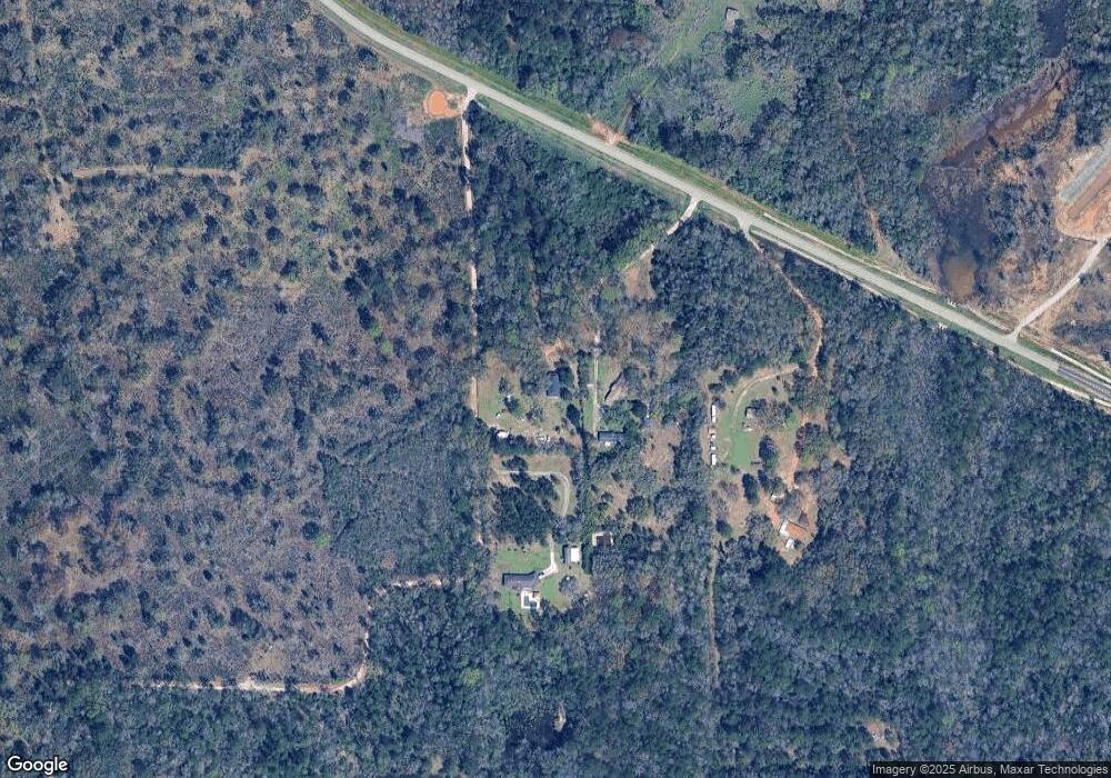
Map
Nearby Homes
- 1762 Trail Side Way
- 1734 Trail Side Way
- 1716 Trail Side Way
- 1688 Trail Side Way
- 1748 Trail Side Way
- 1674 Trail Side Way
- 1658 Trail Side Way
- 1717 Plan at Pines of Dawes
- The Kingston Plan at Coxwell Crossing
- 1348 Plan at Pines of Dawes
- 2029 Plan at Pines of Dawes
- 1525 Plan at Pines of Dawes
- 1635-C Plan at Pines of Dawes
- The Avery Plan at Coxwell Crossing
- 1425 Plan at Pines of Dawes
- The Mckenzie Plan at Coxwell Crossing
- 0 Sands Dr Unit 7675577
- 1352 Sierra Estates Dr
- 1475 Hunters Ct N
- 10875 Sierra Estates Dr
- 1951 Reed Ln
- 1951 Reed Ln
- 1951A Reed Ln
- 1951 Reed Ln Unit A
- 1951C Reed Ln
- 2011 Schmidt Ln E
- 2105 Schmidt Ln E
- 1778 Trail Side Way
- 2149 Johnson Rd W
- 1702 Trail Side Way
- 2242 Johnson Rd W
- 10683 Hunters Ct S
- 10673 Hunters Ct S
- 10711 Hunters Ridge Dr
- 1748 Hunters Ridge Dr W
- 10684 Hunters Ct S
- 1738 Hunters Ridge Dr W
- 1728 Hunters Ridge Dr W
- 1750 Hunters Ridge Dr W
- 10674 Hunters Ct S