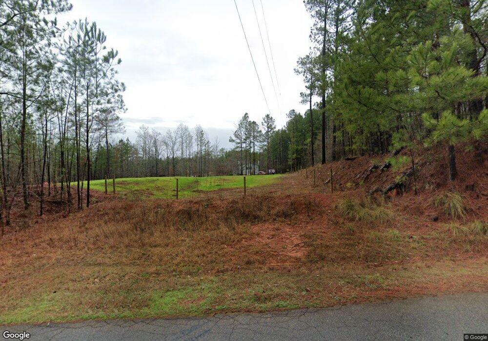
1951 Reese Rd Rutledge, GA 30663
Estimated Value: $551,478 - $724,000
4
Beds
4
Baths
3,364
Sq Ft
$196/Sq Ft
Est. Value
About This Home
This home is located at 1951 Reese Rd, Rutledge, GA 30663 and is currently estimated at $660,370, approximately $196 per square foot. 1951 Reese Rd is a home located in Morgan County with nearby schools including Morgan County Primary School, Morgan County Elementary School, and Morgan County Middle School.
Ownership History
Date
Name
Owned For
Owner Type
Purchase Details
Closed on
Oct 4, 2012
Sold by
Peppers Ted
Bought by
Peppers Todd
Current Estimated Value
Purchase Details
Closed on
Apr 9, 2009
Sold by
Burney Charlie
Bought by
Peppers Ted H and Peppers Joan
Purchase Details
Closed on
Jun 21, 1983
Sold by
James Ralph
Bought by
Burney Charlie
Create a Home Valuation Report for This Property
The Home Valuation Report is an in-depth analysis detailing your home's value as well as a comparison with similar homes in the area
Home Values in the Area
Average Home Value in this Area
Purchase History
| Date | Buyer | Sale Price | Title Company |
|---|---|---|---|
| Peppers Todd | -- | -- | |
| Peppers Ted H | $15,000 | -- | |
| Burney Charlie | $17,600 | -- |
Source: Public Records
Tax History Compared to Growth
Tax History
| Year | Tax Paid | Tax Assessment Tax Assessment Total Assessment is a certain percentage of the fair market value that is determined by local assessors to be the total taxable value of land and additions on the property. | Land | Improvement |
|---|---|---|---|---|
| 2025 | $3,603 | $194,906 | $23,237 | $171,669 |
| 2024 | $3,663 | $162,770 | $19,364 | $143,406 |
| 2023 | $3,399 | $146,615 | $17,428 | $129,187 |
| 2022 | $3,230 | $134,049 | $11,618 | $122,431 |
| 2021 | $3,191 | $131,907 | $9,476 | $122,431 |
| 2020 | $3,220 | $131,907 | $9,476 | $122,431 |
| 2019 | $3,221 | $129,840 | $9,476 | $120,364 |
| 2018 | $3,269 | $129,840 | $9,476 | $120,364 |
| 2017 | $3,230 | $124,658 | $9,476 | $115,182 |
| 2016 | $2,882 | $110,928 | $9,200 | $101,728 |
| 2015 | $2,994 | $113,720 | $6,400 | $107,320 |
| 2014 | $2,583 | $101,080 | $5,600 | $95,480 |
| 2013 | -- | $65,800 | $5,600 | $60,200 |
Source: Public Records
Map
Nearby Homes
- 0 Dickson Rd Unit 10568585
- 1051 Longwood Dr
- 1051 Long Wood Dr
- 0 Fears Rd Unit 10647993
- 0 Fears Rd Unit 7684722
- 0 Fears Rd Unit CL344239
- 0 Fears Rd Unit 69810
- 0 Fears Rd Unit 10647985
- 2470 Fears Rd
- 3780 Brownwood Rd
- 0 Fears Rd Unit 10569285
- 1060 Sewell Church Rd
- 3641 Davis Academy Rd
- 00 Fears Rd
- 00 Fears Rd
- 1981 A Broughton Rd
- 1981 A Broughton Rd
- 1151 Fears Rd
- 0 Rocky Creek Rd
- 52 Deer Run Cir
- 2021 Reese Rd
- 2025 Reese Rd
- 0 Reese Ln Unit 7597993
- 1790 Reese Rd
- 2020 Reese Rd
- 1730 Reese Rd
- 2201 Reese Rd
- 1381 Weaver Jones Rd
- 1381 Weaver Jones Rd Unit 70
- 1101 Durden Rd
- 1570 Reese Rd
- 1321 Durden Rd Unit 50
- 1321 Durden Rd
- 2190 Reese Rd
- 1351 Durden Rd
- 1061 Durden Rd
- 1011 Durden Rd
- 1011 Durden Rd
- 2260 Reese Rd
- 1100 Durden Rd
