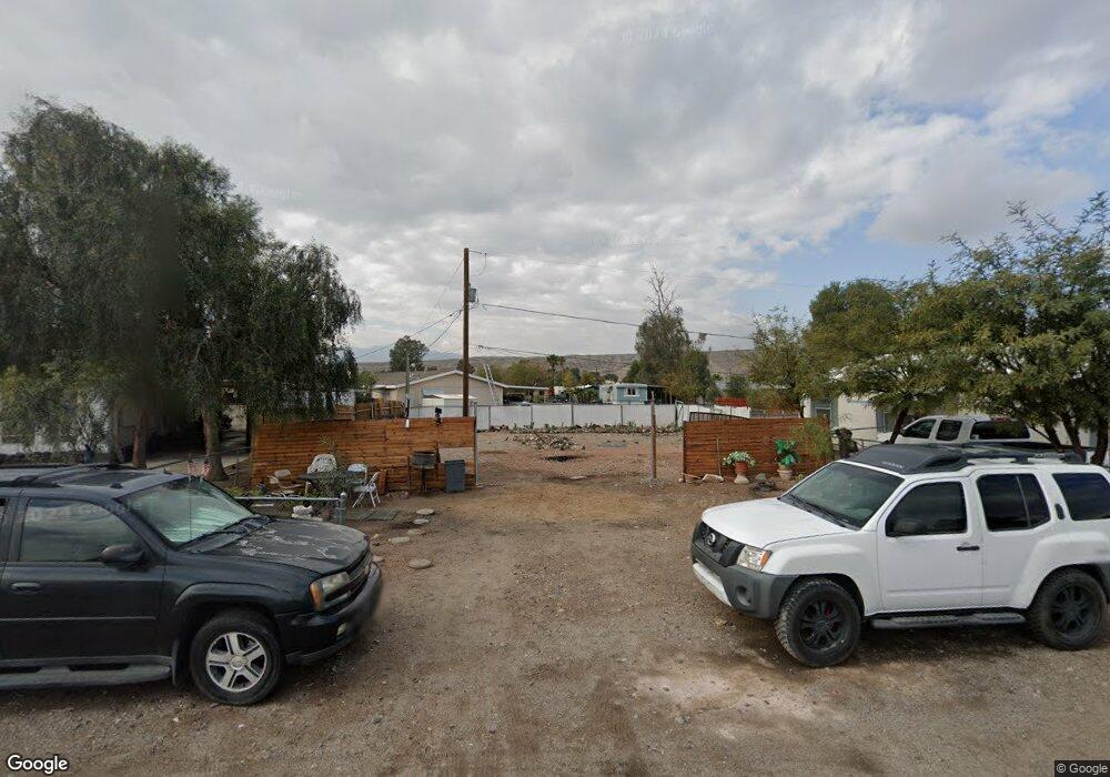
1951 Robson Circle - Lot 465-Unit 3 Bullhead, AZ 86442
Riviera NeighborhoodEstimated Value: $10,091 - $125,000
--
Bed
--
Bath
--
Sq Ft
3,920
Sq Ft Lot
About This Home
This home is located at 1951 Robson Circle - Lot 465-Unit 3, Bullhead, AZ 86442 and is currently estimated at $62,023. 1951 Robson Circle - Lot 465-Unit 3 is a home located in Mohave County with nearby schools including Desert Valley School, Bullhead City Junior High School, and Mohave High School.
Ownership History
Date
Name
Owned For
Owner Type
Purchase Details
Closed on
Mar 24, 2022
Sold by
Thirkill Debra L
Bought by
Orozco Armando Horta and Ibarra Lizeth Horta
Current Estimated Value
Purchase Details
Closed on
Oct 23, 2018
Sold by
Herrmann Michael John
Bought by
Purvis Don E and Thrikill Debra L
Purchase Details
Closed on
May 16, 2005
Sold by
Baroni Betty J
Bought by
Herrmann Michael John
Purchase Details
Closed on
Jul 30, 2002
Sold by
Baroni Betty J
Bought by
Baroni Betty I J
Create a Home Valuation Report for This Property
The Home Valuation Report is an in-depth analysis detailing your home's value as well as a comparison with similar homes in the area
Home Values in the Area
Average Home Value in this Area
Purchase History
| Date | Buyer | Sale Price | Title Company |
|---|---|---|---|
| Orozco Armando Horta | $10,000 | Pioneer Title | |
| Purvis Don E | $8,500 | Chicago Title Agency Inc | |
| Herrmann Michael John | $19,500 | Chicago Title Insurance Co | |
| Baroni Betty I J | -- | -- |
Source: Public Records
Tax History Compared to Growth
Tax History
| Year | Tax Paid | Tax Assessment Tax Assessment Total Assessment is a certain percentage of the fair market value that is determined by local assessors to be the total taxable value of land and additions on the property. | Land | Improvement |
|---|---|---|---|---|
| 2026 | -- | -- | -- | -- |
| 2025 | $98 | $2,462 | $0 | $0 |
| 2024 | $98 | $2,806 | $0 | $0 |
| 2023 | $98 | $1,751 | $0 | $0 |
| 2022 | $94 | $1,030 | $0 | $0 |
| 2021 | $95 | $1,005 | $0 | $0 |
| 2019 | $97 | $769 | $0 | $0 |
| 2018 | $164 | $1,299 | $0 | $0 |
| 2017 | $160 | $1,215 | $0 | $0 |
| 2016 | $152 | $1,215 | $0 | $0 |
| 2015 | $155 | $1,296 | $0 | $0 |
Source: Public Records
Map
Nearby Homes
- 1964 E River Bend Cir
- 1926 W Riverbend Cir
- 1959 Rio Grande Rd
- 331 Thunderbird Ln
- 295 Marina Blvd
- 339 Thunderbird Ln
- 300 Nevada Dr
- 300 Marina Blvd
- 1941 Merced Dr
- 1946 Orca Ln
- 347 Meander Dr
- 321 Riverwood Ln
- 356 Meander Dr
- 310 Santa Cruz Ave
- 327 Santa Cruz Ave
- 2053 Sweetwater Dr
- 1948 Castleberry Ln Unit 4
- 372 Meander Dr
- 1815 Forest Dr
- 239 Tanglewood Ln
- 1951 E Robson Cir
- 1951 E Robson Cir
- 1930 E Robson Cir
- 1952 E Robson Cir
- 1945 E Robson Cir
- 1946 W Robson Cir
- 1975 W Robson Cir
- 1950 E Robson Cir
- 1948 E Robson Cir
- 1950 E Robson Cir
- 1952 W Robson Cir
- 1954 E Robson Cir
- 1944 E Robson Cir
- 1939 E Robson Cir
- 1940 E Robson Cir
- 1962 E Robson Cir
- 1935 E Robson Cir
- 1938 W Robson Cir
- 1949 E Robson Cir
- 1949 E Robson Cir