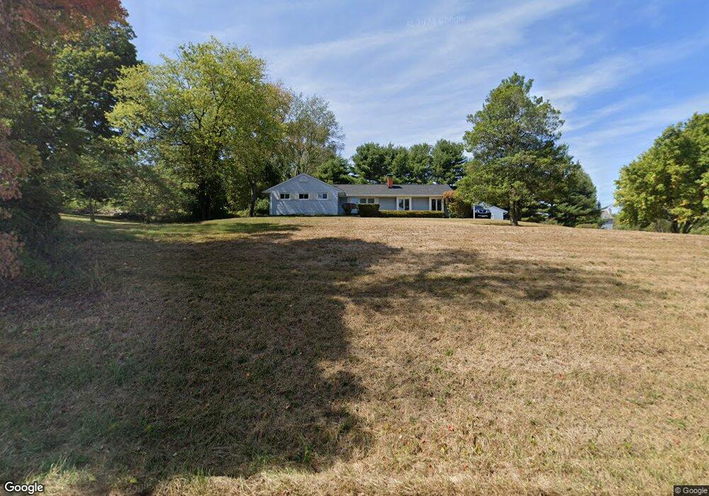
1951 Sheridan Dr Lancaster, OH 43130
Estimated Value: $321,000 - $396,000
3
Beds
2
Baths
2,248
Sq Ft
$156/Sq Ft
Est. Value
About This Home
This home is located at 1951 Sheridan Dr, Lancaster, OH 43130 and is currently estimated at $351,667, approximately $156 per square foot. 1951 Sheridan Dr is a home located in Fairfield County with nearby schools including Medill Elementary School, Thomas Ewing Junior High School, and Lancaster High School.
Ownership History
Date
Name
Owned For
Owner Type
Purchase Details
Closed on
Aug 11, 2021
Sold by
Baughman Bruce B and Baughman Karen E
Bought by
Baughman Bruce B and The Bruce B Baughman Revocable
Current Estimated Value
Purchase Details
Closed on
Jan 28, 2011
Sold by
Baughman Bruce B and Baughman Karen E
Bought by
Baughman Bruce B and Baughman Karen E
Purchase Details
Closed on
Sep 1, 1987
Create a Home Valuation Report for This Property
The Home Valuation Report is an in-depth analysis detailing your home's value as well as a comparison with similar homes in the area
Home Values in the Area
Average Home Value in this Area
Purchase History
| Date | Buyer | Sale Price | Title Company |
|---|---|---|---|
| Baughman Bruce B | -- | None Available | |
| Baughman Bruce B | -- | Attorney | |
| -- | $74,000 | -- |
Source: Public Records
Tax History Compared to Growth
Tax History
| Year | Tax Paid | Tax Assessment Tax Assessment Total Assessment is a certain percentage of the fair market value that is determined by local assessors to be the total taxable value of land and additions on the property. | Land | Improvement |
|---|---|---|---|---|
| 2024 | $8,001 | $82,400 | $17,350 | $65,050 |
| 2023 | $3,314 | $82,400 | $17,350 | $65,050 |
| 2022 | $3,355 | $82,400 | $17,350 | $65,050 |
| 2021 | $2,719 | $64,950 | $15,770 | $49,180 |
| 2020 | $2,733 | $64,950 | $15,770 | $49,180 |
| 2019 | $2,494 | $64,950 | $15,770 | $49,180 |
| 2018 | $2,510 | $61,710 | $15,770 | $45,940 |
| 2017 | $2,511 | $61,710 | $15,770 | $45,940 |
| 2016 | $2,328 | $61,710 | $15,770 | $45,940 |
| 2015 | $2,327 | $59,790 | $15,770 | $44,020 |
| 2014 | $2,220 | $59,790 | $15,770 | $44,020 |
| 2013 | $2,220 | $59,790 | $15,770 | $44,020 |
Source: Public Records
Map
Nearby Homes
- 0 Declaration Dr W Unit 219044159
- 1700 Rosewood Dr NE
- 1760 Rainbow Dr NE
- 1976 Breed Hill Ct
- 1523 Fuller Ct
- 1669 Lexington Dr
- 0 Old Millersport Rd NE Unit Lot 10 225033491
- 0 Old Millersport Rd NE Unit 225010386
- 0 Old Millersport Rd NE Unit Tract 8 224028101
- 1801 Pleasantview Dr NE
- 2444 Sheridan Dr
- 2149 Pleasantview Dr NE
- 1916 Country Place
- 1189 Ridge Rd NE
- 706 Sherman Bluff Way Unit 1706
- 715 Sherman Bluff Way Unit 14715
- 1804 Pleasantville Rd
- 0 Lucille Dr NE
- 2010 Ridgebrook Rd
- 1415 Epworth Forest Dr
- 1983 Sheridan Dr
- 1942 Sheridan Dr
- 1386 Tamarack Ct NE
- 1913 Sheridan Dr
- 1390 Pinecrest Dr NE
- 2017 Sheridan Dr
- 1382 Tamarack Ct NE
- 1400 Pinecrest Dr NE
- 1381 Pinecrest Dr NE
- 1368 Hemlock Ct NE
- 2029 Sheridan Dr
- 1410 Pinecrest Dr NE
- 1362 Hemlock Ct NE
- 2026 Sheridan Dr
- 1359 Pinecrest Dr NE
- 1421 Pinecrest Dr NE
- 2051 Sheridan Dr
- 1358 Hemlock Ct NE
- 1346 Hemlock Ct NE
- 0 Pinecrest Dr NE