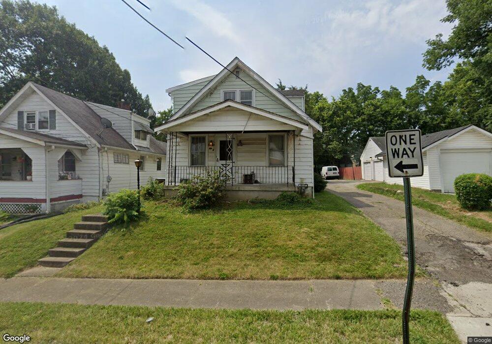
1951 Sundale Ave Cincinnati, OH 45239
Estimated Value: $156,480 - $201,000
4
Beds
1
Bath
1,408
Sq Ft
$123/Sq Ft
Est. Value
About This Home
This home is located at 1951 Sundale Ave, Cincinnati, OH 45239 and is currently estimated at $173,620, approximately $123 per square foot. 1951 Sundale Ave is a home located in Hamilton County with nearby schools including North College Hill Elementary School, North College Hill Middle School, and North College Hill High School.
Ownership History
Date
Name
Owned For
Owner Type
Purchase Details
Closed on
Jul 15, 1997
Sold by
Blust Joan and Oldendick Joan
Bought by
Blust Steven E
Current Estimated Value
Home Financials for this Owner
Home Financials are based on the most recent Mortgage that was taken out on this home.
Original Mortgage
$35,075
Interest Rate
7.32%
Create a Home Valuation Report for This Property
The Home Valuation Report is an in-depth analysis detailing your home's value as well as a comparison with similar homes in the area
Home Values in the Area
Average Home Value in this Area
Purchase History
| Date | Buyer | Sale Price | Title Company |
|---|---|---|---|
| Blust Steven E | -- | -- |
Source: Public Records
Mortgage History
| Date | Status | Borrower | Loan Amount |
|---|---|---|---|
| Previous Owner | Blust Steven E | $35,075 |
Source: Public Records
Tax History Compared to Growth
Tax History
| Year | Tax Paid | Tax Assessment Tax Assessment Total Assessment is a certain percentage of the fair market value that is determined by local assessors to be the total taxable value of land and additions on the property. | Land | Improvement |
|---|---|---|---|---|
| 2024 | $1,582 | $31,200 | $5,786 | $25,414 |
| 2023 | $1,595 | $31,200 | $5,786 | $25,414 |
| 2022 | $1,435 | $20,041 | $5,761 | $14,280 |
| 2021 | $1,406 | $20,041 | $5,761 | $14,280 |
| 2020 | $1,232 | $20,041 | $5,761 | $14,280 |
| 2019 | $1,213 | $17,581 | $5,054 | $12,527 |
| 2018 | $1,213 | $17,581 | $5,054 | $12,527 |
| 2017 | $1,152 | $17,581 | $5,054 | $12,527 |
| 2016 | $1,400 | $22,852 | $5,625 | $17,227 |
| 2015 | $1,402 | $22,852 | $5,625 | $17,227 |
| 2014 | $1,401 | $22,852 | $5,625 | $17,227 |
| 2013 | $1,446 | $24,311 | $5,985 | $18,326 |
Source: Public Records
Map
Nearby Homes
- 1944 Dallas Ave
- 1917 Dallas Ave
- 1945 Emerson Ave
- 1835 Dallas Ave
- 2029 Sundale Ave
- 1917 Emerson Ave
- 6505 Simpson Ave
- 1938 Cordova Ave
- 1830 Emerson Ave
- 1818 Dallas Ave
- 1948 Catalpa Ave
- 2035 Carpenter Dr
- 1811 Sterling Ave
- 1802 Sundale Ave
- 1805 de Armand Ave
- 1811 Emerson Ave
- 6912 Noble Ave
- 1814 Catalpa Ave
- 6909 Lois Dr
- 6842 Grace Ave
- 1949 Sundale Ave
- 6622 Simpson Ave
- 6624 Simpson Ave
- 1945 Sundale Ave
- 6616 Simpson Ave
- 1952 Sterling Ave
- 1950 Sundale Ave
- 1941 Sundale Ave
- 6700 Simpson Ave
- 1946 Sterling Ave
- 1940 Sundale Ave
- 1942 Sundale Ave
- 6702 Simpson Ave
- 1938 Sterling Ave
- 1937 Sundale Ave
- 6704 Simpson Ave
- 6499 Simpson Ave
- 1938 Sundale Ave
- 1933 Sundale Ave
- 1936 Sterling Ave