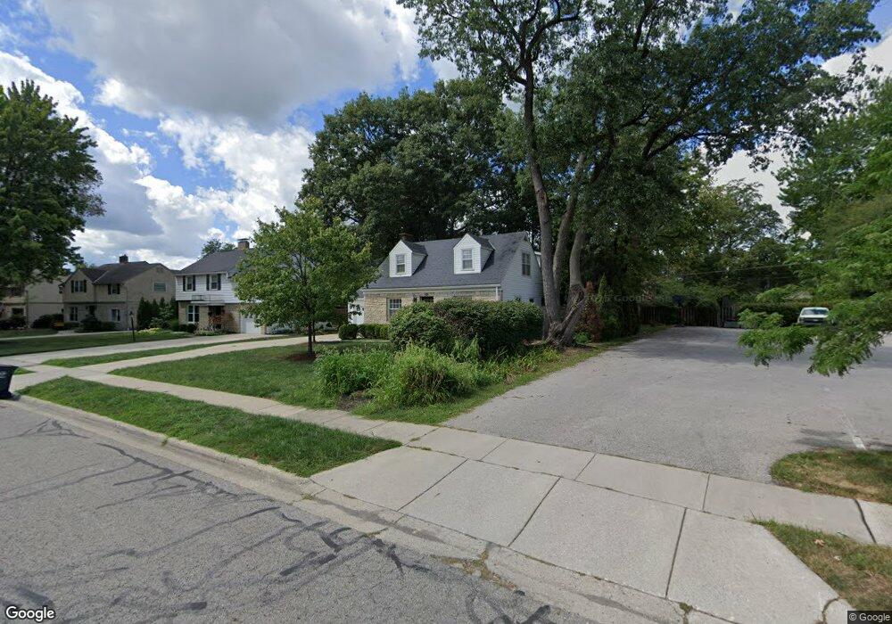
1951 Westwood Ave Columbus, OH 43212
Estimated Value: $706,000 - $812,000
3
Beds
2
Baths
2,234
Sq Ft
$344/Sq Ft
Est. Value
About This Home
This home is located at 1951 Westwood Ave, Columbus, OH 43212 and is currently estimated at $767,596, approximately $343 per square foot. 1951 Westwood Ave is a home located in Franklin County with nearby schools including Barrington Road Elementary School, Jones Middle School, and Upper Arlington High School.
Ownership History
Date
Name
Owned For
Owner Type
Purchase Details
Closed on
Mar 3, 2022
Sold by
Cerny Christopher M and Cerny Blair K
Bought by
Briggs Kelli
Current Estimated Value
Home Financials for this Owner
Home Financials are based on the most recent Mortgage that was taken out on this home.
Original Mortgage
$645,250
Outstanding Balance
$601,288
Interest Rate
3.69%
Mortgage Type
New Conventional
Estimated Equity
$166,308
Purchase Details
Closed on
Jun 1, 2009
Sold by
Morris Alison
Bought by
Cerny Christopher M and Sweeney Blair K
Purchase Details
Closed on
Nov 4, 2002
Sold by
Rudolph David S and Rudolph Bridget M
Bought by
Morris Alison
Home Financials for this Owner
Home Financials are based on the most recent Mortgage that was taken out on this home.
Original Mortgage
$26,350
Interest Rate
5.96%
Mortgage Type
Credit Line Revolving
Purchase Details
Closed on
Apr 13, 1994
Purchase Details
Closed on
Jan 1, 1986
Create a Home Valuation Report for This Property
The Home Valuation Report is an in-depth analysis detailing your home's value as well as a comparison with similar homes in the area
Home Values in the Area
Average Home Value in this Area
Purchase History
| Date | Buyer | Sale Price | Title Company |
|---|---|---|---|
| Briggs Kelli | $725,000 | New Title Company Name | |
| Cerny Christopher M | $324,000 | Title First | |
| Morris Alison | $263,500 | Chicago Title | |
| -- | $199,000 | -- | |
| -- | -- | -- |
Source: Public Records
Mortgage History
| Date | Status | Borrower | Loan Amount |
|---|---|---|---|
| Open | Briggs Kelli | $645,250 | |
| Previous Owner | Morris Alison | $26,350 |
Source: Public Records
Tax History Compared to Growth
Tax History
| Year | Tax Paid | Tax Assessment Tax Assessment Total Assessment is a certain percentage of the fair market value that is determined by local assessors to be the total taxable value of land and additions on the property. | Land | Improvement |
|---|---|---|---|---|
| 2024 | $13,697 | $233,310 | $124,600 | $108,710 |
| 2023 | $13,530 | $233,310 | $124,600 | $108,710 |
| 2022 | $9,964 | $142,600 | $46,450 | $96,150 |
| 2021 | $8,821 | $142,600 | $46,450 | $96,150 |
| 2020 | $8,743 | $142,600 | $46,450 | $96,150 |
| 2019 | $8,723 | $125,800 | $46,450 | $79,350 |
| 2018 | $7,910 | $125,800 | $46,450 | $79,350 |
| 2017 | $8,656 | $125,800 | $46,450 | $79,350 |
| 2016 | $7,151 | $108,160 | $37,490 | $70,670 |
| 2015 | $7,145 | $108,160 | $37,490 | $70,670 |
| 2014 | $7,153 | $108,160 | $37,490 | $70,670 |
| 2013 | $3,416 | $98,315 | $34,090 | $64,225 |
Source: Public Records
Map
Nearby Homes
- 1914 Elmwood Ave
- 1782 Wyandotte Rd
- 1733 Elmwood Ave
- 2110 Northwest Blvd
- 1398 Lower Green Cir Unit 1398
- 1661 Ashland Ave Unit 663
- 1535 Doone Rd
- 1561 Glenn Ave
- 1565 Berkshire Rd
- 1364 W 7th Ave
- 1869 Tewksbury Rd
- 00 W 7th Ave
- 1459 Elmwood Ave Unit 1459
- 2015 W 5th Ave Unit 211
- 2015 W 5th Ave Unit 102
- 2015 W 5th Ave Unit 108
- 1631 Roxbury Rd Unit F3
- 1631 Roxbury Rd Unit B6
- 1126 King Ave Unit 128
- 2063 Westover Rd
- 1943 Westwood Ave
- 1935 Westwood Ave
- 1962 Glenn Ave
- 1970 Glenn Ave
- 1948 Glenn Ave
- 1978 Glenn Ave
- 1950 Westwood Ave
- 1942 Westwood Ave
- 1927 Westwood Ave
- 1940 Glenn Ave
- 1958 Westwood Ave
- 1934 Westwood Ave
- 1966 Westwood Ave
- 1932 Glenn Ave
- 1926 Westwood Ave
- 1919 Westwood Ave
- 1924 Glenn Ave
- 1918 Westwood Ave
- 1911 Westwood Ave
- 1937 Elmwood Ave