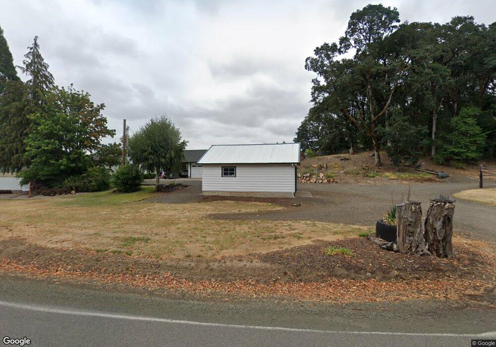
19510 Gooseneck Rd Sheridan, OR 97378
Estimated Value: $734,000 - $790,596
4
Beds
2
Baths
1,484
Sq Ft
$514/Sq Ft
Est. Value
About This Home
This home is located at 19510 Gooseneck Rd, Sheridan, OR 97378 and is currently estimated at $762,298, approximately $513 per square foot. 19510 Gooseneck Rd is a home located in Polk County with nearby schools including Perrydale School.
Ownership History
Date
Name
Owned For
Owner Type
Purchase Details
Closed on
Jan 3, 2006
Sold by
Cruickshank Angela and Cruickshank Angela Christina
Bought by
Cruickshank John W and Cruickshank John William
Current Estimated Value
Create a Home Valuation Report for This Property
The Home Valuation Report is an in-depth analysis detailing your home's value as well as a comparison with similar homes in the area
Home Values in the Area
Average Home Value in this Area
Purchase History
| Date | Buyer | Sale Price | Title Company |
|---|---|---|---|
| Cruickshank John W | -- | -- |
Source: Public Records
Tax History Compared to Growth
Tax History
| Year | Tax Paid | Tax Assessment Tax Assessment Total Assessment is a certain percentage of the fair market value that is determined by local assessors to be the total taxable value of land and additions on the property. | Land | Improvement |
|---|---|---|---|---|
| 2025 | $3,632 | $318,831 | $63,531 | $255,300 |
| 2024 | $3,632 | $309,554 | $61,674 | $247,880 |
| 2023 | $3,543 | $300,547 | $59,877 | $240,670 |
| 2022 | $3,438 | $291,798 | $58,128 | $233,670 |
| 2021 | $3,025 | $283,307 | $56,437 | $226,870 |
| 2020 | $2,684 | $275,057 | $54,794 | $220,263 |
| 2019 | $2,237 | $205,477 | $46,347 | $159,130 |
| 2018 | $2,148 | $199,500 | $45,000 | $154,500 |
| 2017 | $2,105 | $193,694 | $43,684 | $150,010 |
| 2016 | $2,127 | $188,061 | $42,411 | $145,650 |
| 2015 | $1,608 | $140,338 | $41,178 | $99,160 |
| 2014 | $1,530 | $136,258 | $39,978 | $96,280 |
Source: Public Records
Map
Nearby Homes
- 6235 Harmony Rd
- 6215 Harmony Rd
- 6195 Mill Creek Rd
- 6375 Harmony Rd
- 6180 Mill Creek Rd
- 6290A Harmony Rd
- 6120 Mill Creek Rd
- 6330 Harmony Rd
- 6540 Harmony Rd
- 6400 Harmony Rd
- 5945 Mill Creek Rd
- 6625 Harmony Rd
- 5930 Mill Creek Rd
- 6680 Harmony Rd
- 5800 Mill Creek Rd
- 19090 Highway 22
- 19090 Highway 22
- 18755 Zielinski Rd
- 20246 Highway 22
- 6775 Harmony Rd