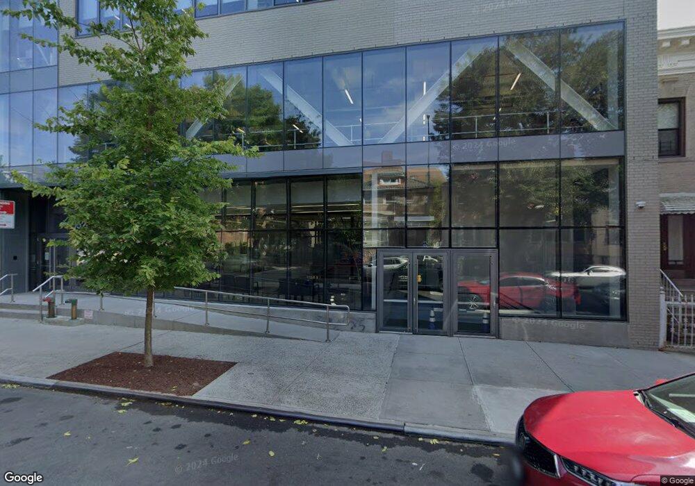
1952 Benedict Ave Bronx, NY 10462
Parkchester Neighborhood
--
Bed
--
Bath
35,298
Sq Ft
5,009
Sq Ft Lot
About This Home
This home is located at 1952 Benedict Ave, Bronx, NY 10462. 1952 Benedict Ave is a home located in Bronx County with nearby schools including P.S. 106 - Parkchester, M.S. 127 - The Castle Hill Middle School, and Bold Charter School.
Ownership History
Date
Name
Owned For
Owner Type
Purchase Details
Closed on
Apr 1, 2013
Sold by
Sobert Realty Corp
Bought by
Bronx Charter School For Excellence
Home Financials for this Owner
Home Financials are based on the most recent Mortgage that was taken out on this home.
Original Mortgage
$24,000,000
Outstanding Balance
$17,040,114
Interest Rate
3.6%
Mortgage Type
Commercial
Create a Home Valuation Report for This Property
The Home Valuation Report is an in-depth analysis detailing your home's value as well as a comparison with similar homes in the area
Home Values in the Area
Average Home Value in this Area
Purchase History
| Date | Buyer | Sale Price | Title Company |
|---|---|---|---|
| Bronx Charter School For Excellence | $7,321,474 | -- |
Source: Public Records
Mortgage History
| Date | Status | Borrower | Loan Amount |
|---|---|---|---|
| Open | Bronx Charter School For Excellence | $24,000,000 |
Source: Public Records
Tax History Compared to Growth
Tax History
| Year | Tax Paid | Tax Assessment Tax Assessment Total Assessment is a certain percentage of the fair market value that is determined by local assessors to be the total taxable value of land and additions on the property. | Land | Improvement |
|---|---|---|---|---|
| 2025 | -- | $2,399,400 | $152,100 | $2,247,300 |
| 2024 | -- | $2,267,550 | $152,100 | $2,115,450 |
| 2023 | $0 | $2,316,600 | $152,100 | $2,164,500 |
| 2022 | $0 | $2,184,300 | $152,100 | $2,032,200 |
| 2021 | $0 | $2,003,850 | $152,100 | $1,851,750 |
| 2020 | $0 | $2,468,700 | $152,100 | $2,316,600 |
| 2019 | $0 | $2,395,800 | $152,100 | $2,243,700 |
| 2018 | $2,933 | $2,395,800 | $152,100 | $2,243,700 |
| 2017 | $0 | $2,256,300 | $152,100 | $2,104,200 |
| 2016 | $0 | $152,100 | $152,100 | $0 |
| 2015 | $840 | $152,100 | $152,100 | $0 |
| 2014 | $840 | $152,100 | $152,100 | $0 |
Source: Public Records
Map
Nearby Homes
- 1949 Mcgraw Ave Unit 7F
- 1926 Mcgraw Ave
- 1935 Mcgraw Ave Unit 7C
- 1332 Metropolitan Ave Unit 6A
- 1332 Metropolitan Ave Unit 2A
- 1332 Metropolitan Ave Unit 2H
- 1332 Metropolitan Ave Unit 3H
- 1922 Mcgraw Ave Unit 6I
- 1922 Mcgraw Ave Unit 1H
- 2049 Mcgraw Ave Unit 6H
- 1521 Unionport Rd Unit 11G
- 2055 Mcgraw Ave Unit 4G
- 1314 Virginia Ave Unit 6F
- 1314 Virginia Ave Unit 6G
- 1314 Virginia Ave Unit 5A
- 2059 Mcgraw Ave Unit 6A
- 1470 East Ave Unit 5G
- 1966 Newbold Ave Unit 104
- 1966 Newbold Ave Unit 108
- 1966 Newbold Ave Unit 1510
- 1948 Benedict Ave
- 1960 Benedict Ave
- 1946 Benedict Ave
- 1967 Westchester Ave
- 1967-1973 Westchester Ave
- 1959 Westchester Ave
- 1944 Benedict Ave
- 1957 Westchester Ave
- 1985 Westchester Ave
- 1951 Benedict Ave
- 1945-1955 Westchester Ave
- 1949 Benedict Ave
- 1938 Benedict Ave
- 1955 Benedict Ave
- 1945 Benedict Ave
- 1943 Benedict Ave
- 1936 Benedict Ave
- 1963 Benedict Ave
- 1311 Pugsley Ave
- 1972 Benedict Ave