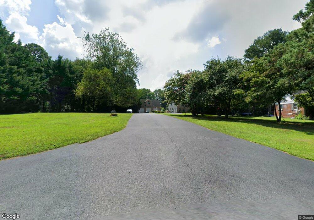
1952 Colora Rd Colora, MD 21917
Estimated Value: $863,000 - $1,065,000
4
Beds
5
Baths
4,584
Sq Ft
$216/Sq Ft
Est. Value
About This Home
This home is located at 1952 Colora Rd, Colora, MD 21917 and is currently estimated at $988,102, approximately $215 per square foot. 1952 Colora Rd is a home located in Cecil County with nearby schools including Bainbridge Elementary School, Perryville Middle School, and Perryville High School.
Ownership History
Date
Name
Owned For
Owner Type
Purchase Details
Closed on
Mar 27, 2008
Sold by
Kemp Thomas E and Kemp Darlene L
Bought by
Saccenti Scott and Saccenti Regina
Current Estimated Value
Home Financials for this Owner
Home Financials are based on the most recent Mortgage that was taken out on this home.
Original Mortgage
$363,500
Outstanding Balance
$227,243
Interest Rate
5.72%
Mortgage Type
Purchase Money Mortgage
Estimated Equity
$760,859
Purchase Details
Closed on
Feb 28, 2008
Sold by
Kemp Thomas E and Kemp Darlene L
Bought by
Saccenti Scott and Saccenti Regina
Home Financials for this Owner
Home Financials are based on the most recent Mortgage that was taken out on this home.
Original Mortgage
$363,500
Outstanding Balance
$227,243
Interest Rate
5.72%
Mortgage Type
Purchase Money Mortgage
Estimated Equity
$760,859
Purchase Details
Closed on
Mar 22, 2002
Sold by
Montgomery Bros Inc
Bought by
Kemp Thomas E and Kemp Darlene L
Create a Home Valuation Report for This Property
The Home Valuation Report is an in-depth analysis detailing your home's value as well as a comparison with similar homes in the area
Home Values in the Area
Average Home Value in this Area
Purchase History
| Date | Buyer | Sale Price | Title Company |
|---|---|---|---|
| Saccenti Scott | $710,000 | -- | |
| Saccenti Scott | $710,000 | -- | |
| Kemp Thomas E | $110,000 | -- |
Source: Public Records
Mortgage History
| Date | Status | Borrower | Loan Amount |
|---|---|---|---|
| Open | Saccenti Scott | $363,500 | |
| Closed | Saccenti Scott | $363,500 |
Source: Public Records
Tax History
| Year | Tax Paid | Tax Assessment Tax Assessment Total Assessment is a certain percentage of the fair market value that is determined by local assessors to be the total taxable value of land and additions on the property. | Land | Improvement |
|---|---|---|---|---|
| 2025 | $8,382 | $809,800 | $142,700 | $667,100 |
| 2024 | $7,696 | $764,433 | $0 | $0 |
| 2023 | $6,791 | $719,067 | $0 | $0 |
| 2022 | $7,620 | $673,700 | $142,700 | $531,000 |
| 2021 | $7,467 | $655,633 | $0 | $0 |
| 2020 | $7,235 | $637,567 | $0 | $0 |
| 2019 | $6,966 | $619,500 | $142,700 | $476,800 |
| 2018 | $6,694 | $589,767 | $0 | $0 |
| 2017 | $6,431 | $560,033 | $0 | $0 |
| 2016 | $5,902 | $530,300 | $0 | $0 |
| 2015 | $5,902 | $529,833 | $0 | $0 |
| 2014 | $5,495 | $529,367 | $0 | $0 |
Source: Public Records
Map
Nearby Homes
- TBD Rowland Dr
- 39 N Friendship Ct
- 27 Behm Ln
- 91 Honeysuckle Dr
- 148 Windmill Rd
- 0 Boyd Dr
- lot 2 White Spruce Way
- 945 Firetower Rd
- 5 Denise St
- 0 Colora Rd
- 1621 Liberty Grove Rd
- 17 E Circle Dr
- 1500 Doctor Jack Rd
- Lot 8 White Spruce Way
- 1746 Hopewell Rd
- 128 Harford View Dr
- 335 Camp Meeting Ground Rd
- 23 Harford View Dr
- 35 Coulson Dr
- 420 Jackson Park Rd
Your Personal Tour Guide
Ask me questions while you tour the home.