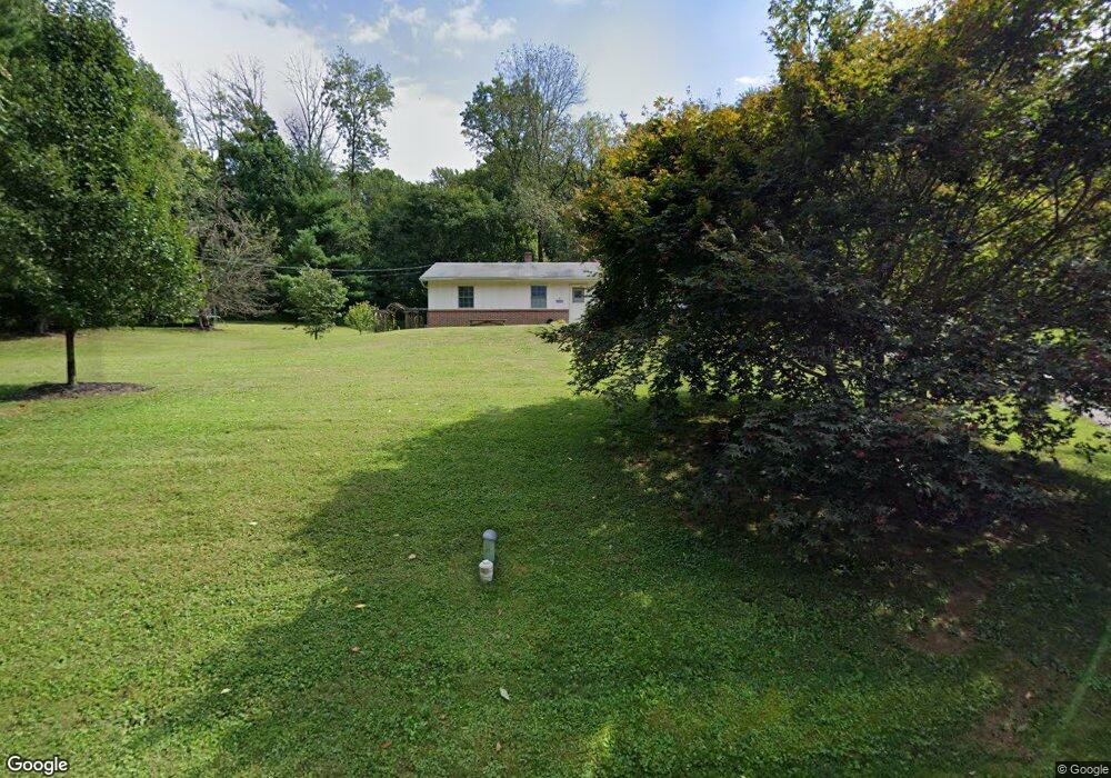
1952 Kimberton Rd Phoenixville, PA 19460
West Vincent Township NeighborhoodEstimated Value: $399,000 - $469,000
3
Beds
2
Baths
1,232
Sq Ft
$351/Sq Ft
Est. Value
About This Home
This home is located at 1952 Kimberton Rd, Phoenixville, PA 19460 and is currently estimated at $432,176, approximately $350 per square foot. 1952 Kimberton Rd is a home located in Chester County with nearby schools including West Vincent Elementary School, Owen J Roberts Middle School, and Owen J Roberts High School.
Ownership History
Date
Name
Owned For
Owner Type
Purchase Details
Closed on
Jul 18, 2003
Sold by
Knight Eric W and Knight Sherry L
Bought by
Grashof Carl W and Kunda Carolyn A
Current Estimated Value
Home Financials for this Owner
Home Financials are based on the most recent Mortgage that was taken out on this home.
Original Mortgage
$129,200
Outstanding Balance
$55,012
Interest Rate
5.28%
Mortgage Type
Purchase Money Mortgage
Estimated Equity
$377,164
Create a Home Valuation Report for This Property
The Home Valuation Report is an in-depth analysis detailing your home's value as well as a comparison with similar homes in the area
Home Values in the Area
Average Home Value in this Area
Purchase History
| Date | Buyer | Sale Price | Title Company |
|---|---|---|---|
| Grashof Carl W | $161,500 | Fidelity Natl Title Ins Co O |
Source: Public Records
Mortgage History
| Date | Status | Borrower | Loan Amount |
|---|---|---|---|
| Open | Grashof Carl W | $129,200 |
Source: Public Records
Tax History Compared to Growth
Tax History
| Year | Tax Paid | Tax Assessment Tax Assessment Total Assessment is a certain percentage of the fair market value that is determined by local assessors to be the total taxable value of land and additions on the property. | Land | Improvement |
|---|---|---|---|---|
| 2025 | $5,490 | $133,360 | $66,880 | $66,480 |
| 2024 | $5,490 | $133,360 | $66,880 | $66,480 |
| 2023 | $5,411 | $133,360 | $66,880 | $66,480 |
| 2022 | $5,323 | $133,360 | $66,880 | $66,480 |
| 2021 | $5,258 | $133,360 | $66,880 | $66,480 |
| 2020 | $5,123 | $133,360 | $66,880 | $66,480 |
| 2019 | $5,027 | $133,360 | $66,880 | $66,480 |
| 2018 | $4,929 | $133,360 | $66,880 | $66,480 |
| 2017 | $4,813 | $133,360 | $66,880 | $66,480 |
| 2016 | $3,947 | $133,360 | $66,880 | $66,480 |
| 2015 | $3,947 | $133,360 | $66,880 | $66,480 |
| 2014 | $3,947 | $133,360 | $66,880 | $66,480 |
Source: Public Records
Map
Nearby Homes
- 1067 Balfour Cir
- 103 Jay Ave
- 265 Beacon Dr
- 1408 Black Walnut Dr Unit 1408
- 121 Midway Rd
- 138 Camp Council Rd
- 120 Ashley Rd
- 53 Haystack Cir
- 675 W Seven Stars Rd
- 1799 Pickering Rd
- 554 Merlin Rd
- 818 Graphite Dr
- 826 Graphite Dr
- 1018 Hares Hill Rd
- 2006 Diane Cir
- 2585 Charlestown Rd
- 146 Hilltop Rd
- 23 Marian Rd
- 104 Badalamenti Dr
- 111 Potters Pond Dr Unit 33
- 1944 Kimberton Rd
- 153 Hillcrest Ave
- 150 Hillcrest Ave
- 163 Forrest Ave
- 157 Hillcrest Ave
- 1936 Kimberton Rd
- 132 Forrest Ave
- 1973 Kimberton Rd
- 1941 Kimberton Rd
- 1955 Kimberton Rd
- 1979 Kimberton Rd
- Lot, Kimberton Villa Forrest & Hillcrest
- 136 Forrest Ave
- 136 Forrest Ave
- 159 Hillcrest Ave
- 116 Viola Rd
- 1930 Kimberton Rd
- 152 Hillcrest Ave
- 1959 Kimberton Rd
- 1983 Kimberton Rd