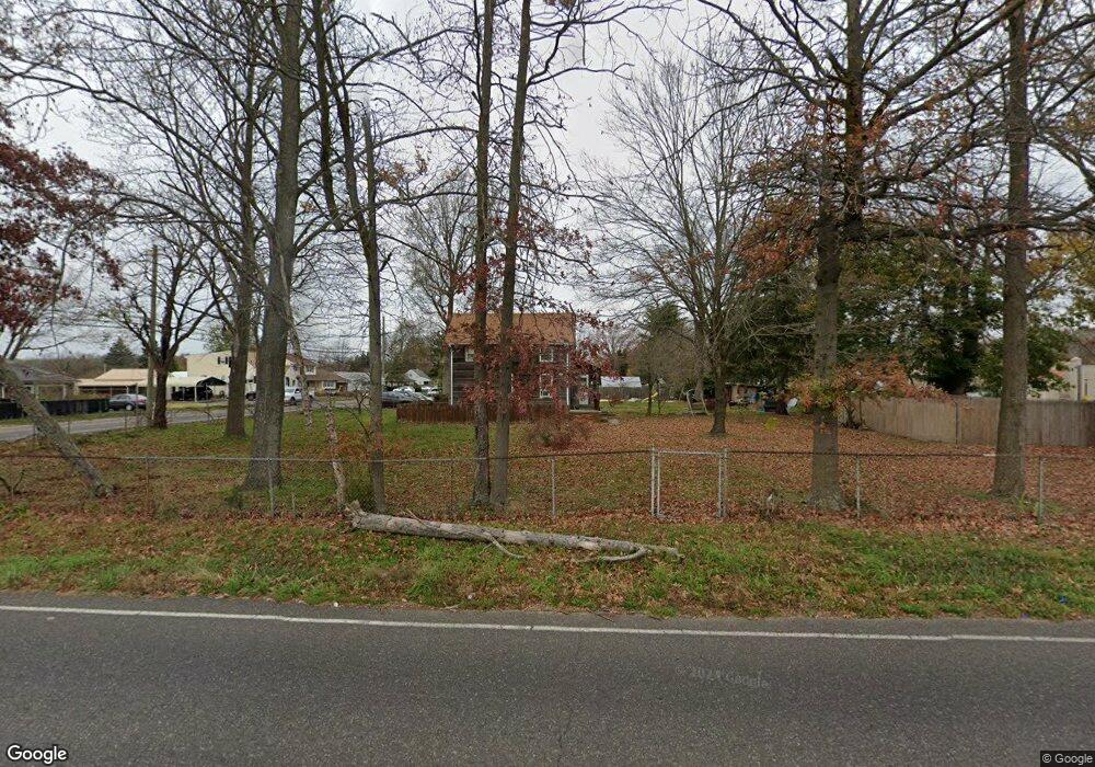
1952 Maple Ave Vineland, NJ 08361
Estimated Value: $354,000 - $403,000
Studio
--
Bath
2,064
Sq Ft
$183/Sq Ft
Est. Value
About This Home
This home is located at 1952 Maple Ave, Vineland, NJ 08361 and is currently estimated at $377,525, approximately $182 per square foot. 1952 Maple Ave is a home located in Cumberland County with nearby schools including Pauline J. Petway Elementary School, Veterans Memorial Intermediate School, and Johnstone School.
Ownership History
Date
Name
Owned For
Owner Type
Purchase Details
Closed on
May 22, 2007
Sold by
Delatorre Efrain E
Bought by
Delatorre Efrain E and Delatorre Magda T
Current Estimated Value
Purchase Details
Closed on
Aug 30, 2001
Sold by
Estate Of Peter Reves
Bought by
Delatorre Efrain E
Home Financials for this Owner
Home Financials are based on the most recent Mortgage that was taken out on this home.
Original Mortgage
$70,035
Outstanding Balance
$27,429
Interest Rate
7.05%
Mortgage Type
FHA
Estimated Equity
$350,096
Purchase Details
Closed on
Sep 3, 1998
Sold by
Mckenzie Stuart
Bought by
Reves Peter D
Purchase Details
Closed on
Jan 20, 1995
Sold by
Mckenzie Stuart and Mckenzie Carole
Bought by
Mckenzie Stuart
Create a Home Valuation Report for This Property
The Home Valuation Report is an in-depth analysis detailing your home's value as well as a comparison with similar homes in the area
Home Values in the Area
Average Home Value in this Area
Purchase History
| Date | Buyer | Sale Price | Title Company |
|---|---|---|---|
| Delatorre Efrain E | -- | -- | |
| Delatorre Efrain E | $72,900 | -- | |
| Reves Peter D | $66,000 | -- | |
| Mckenzie Stuart | $50,000 | Landis Title Corporation |
Source: Public Records
Mortgage History
| Date | Status | Borrower | Loan Amount |
|---|---|---|---|
| Open | Delatorre Efrain E | $70,035 |
Source: Public Records
Tax History
| Year | Tax Paid | Tax Assessment Tax Assessment Total Assessment is a certain percentage of the fair market value that is determined by local assessors to be the total taxable value of land and additions on the property. | Land | Improvement |
|---|---|---|---|---|
| 2025 | $7,059 | $221,700 | $38,500 | $183,200 |
| 2024 | $7,059 | $221,700 | $38,500 | $183,200 |
| 2023 | $7,012 | $221,700 | $38,500 | $183,200 |
| 2022 | $6,804 | $221,700 | $38,500 | $183,200 |
| 2021 | $6,268 | $221,700 | $38,500 | $183,200 |
| 2020 | $6,489 | $221,700 | $38,500 | $183,200 |
| 2019 | $6,400 | $221,700 | $38,500 | $183,200 |
| 2018 | $6,232 | $221,700 | $38,500 | $183,200 |
| 2017 | $5,919 | $221,700 | $38,500 | $183,200 |
| 2016 | $5,711 | $221,700 | $38,500 | $183,200 |
| 2015 | $5,500 | $221,700 | $38,500 | $183,200 |
| 2014 | $5,201 | $221,700 | $38,500 | $183,200 |
Source: Public Records
Map
Nearby Homes
- 1734 Marla Place
- 307 N Spring Rd
- 189 Jay Terrace
- 1964 E Oak Rd Unit P2
- 0 E Oak Rd Unit NJCB2028950
- 1401 Nelson Ave
- 2102 E Oak Rd Unit 6
- 503 Hazel Ave
- 574 Juliana Dr
- 866 N Brewster Rd
- 507 Sylvester Dr
- 4 Elmwood Ave
- 2811 Bryant St
- 117 Redcrest St
- 1107 Sharp Rd
- 1410 N Main Rd
- 2627 School Ln
- 1071 E Park Ave
- 1080 E Landis Ave
- 882 Sawyer Ave
Your Personal Tour Guide
Ask me questions while you tour the home.