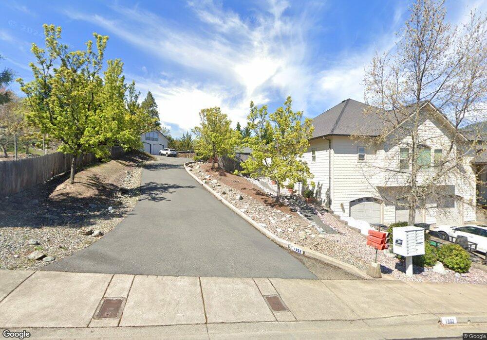
1952 NW Crown St Grants Pass, OR 97526
Estimated Value: $637,375 - $734,000
4
Beds
3
Baths
3,245
Sq Ft
$211/Sq Ft
Est. Value
About This Home
This home is located at 1952 NW Crown St, Grants Pass, OR 97526 and is currently estimated at $685,688, approximately $211 per square foot. 1952 NW Crown St is a home located in Josephine County with nearby schools including Highland Elementary School, North Middle School, and Grants Pass High School.
Ownership History
Date
Name
Owned For
Owner Type
Purchase Details
Closed on
Nov 4, 2025
Sold by
Bernhart Thomas R and Bernhart Carrie M
Bought by
Bernhart Family Trust and Bernhart
Current Estimated Value
Purchase Details
Closed on
Apr 1, 2010
Sold by
Hsbc Bank Usa Na
Bought by
Bernhart Thomas R and Bernhart Carrie M
Home Financials for this Owner
Home Financials are based on the most recent Mortgage that was taken out on this home.
Original Mortgage
$360,000
Interest Rate
4.95%
Mortgage Type
Purchase Money Mortgage
Purchase Details
Closed on
Aug 27, 2009
Sold by
Worthington Steven P and Worthington Darcie E
Bought by
Hsbc Bank Us Na
Create a Home Valuation Report for This Property
The Home Valuation Report is an in-depth analysis detailing your home's value as well as a comparison with similar homes in the area
Home Values in the Area
Average Home Value in this Area
Purchase History
| Date | Buyer | Sale Price | Title Company |
|---|---|---|---|
| Bernhart Family Trust | -- | None Listed On Document | |
| Bernhart Thomas R | $317,000 | First American | |
| Hsbc Bank Us Na | $442,800 | Ticor Title |
Source: Public Records
Mortgage History
| Date | Status | Borrower | Loan Amount |
|---|---|---|---|
| Previous Owner | Bernhart Thomas R | $360,000 |
Source: Public Records
Tax History Compared to Growth
Tax History
| Year | Tax Paid | Tax Assessment Tax Assessment Total Assessment is a certain percentage of the fair market value that is determined by local assessors to be the total taxable value of land and additions on the property. | Land | Improvement |
|---|---|---|---|---|
| 2025 | $6,205 | $477,790 | -- | -- |
| 2024 | $6,205 | $463,880 | -- | -- |
| 2023 | $5,844 | $450,370 | $0 | $0 |
| 2022 | $5,872 | $437,260 | -- | -- |
| 2021 | $5,515 | $424,530 | $0 | $0 |
| 2020 | $5,558 | $427,750 | $0 | $0 |
| 2019 | $5,397 | $415,300 | $0 | $0 |
| 2018 | $5,492 | $403,210 | $0 | $0 |
| 2017 | $5,451 | $391,470 | $0 | $0 |
| 2016 | $4,792 | $380,070 | $0 | $0 |
| 2015 | $4,350 | $357,380 | $0 | $0 |
| 2014 | $4,217 | $345,800 | $0 | $0 |
Source: Public Records
Map
Nearby Homes
- 1946 NW Crown St
- 1126 NW Morgan Ln
- 2034 NW Sarum Cir
- 1285 NW Cooke Ave
- 1137 Sunburst Way
- 1024 NW Cooke Ave
- 1805 NW Candler Ave
- 1172 NW Starlite Place
- 2203 NW Juliet Ln
- 908 NW Bishop St
- 1162 NW Starlite Place
- 1129 NW Starlite Place
- 107 NW Wrightwood Cir
- 214 NW Creekside Dr
- 210 NW Woodbrook Dr
- 1085 NW Starlite Place Unit R342008
- 201 NW Creekside Dr
- 208 NW Creekside Dr
- 206 NW Creekside Dr
- 416 NW Pleasant View Dr
- 1958 NW Crown St
- 1221 NW Cooke Ave
- 1215 NW Cooke Ave
- 1964 NW Crown St
- 1938 NW Crown St
- 1225 NW Cooke Ave
- 1211 NW Cooke Ave
- 1920 NW Crown St
- 173 NW Crown St
- 1936 NW Crown St
- 1137 NW Morgan Ln
- 1205 NW Cooke Ave
- 1231 NW Cooke Ave
- 1214 NW Cooke Ave
- 1941 NW Crown St
- 1224 NW Cooke Ave
- 1953 NW Crown St
- 1210 NW Cooke Ave
- 1959 NW Crown St
- 1932 NW Crown St