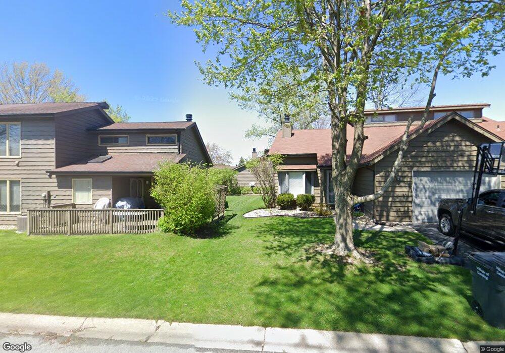
1952 Pecan Ct Crown Point, IN 46307
Estimated Value: $225,685 - $238,000
2
Beds
2
Baths
1,410
Sq Ft
$165/Sq Ft
Est. Value
About This Home
This home is located at 1952 Pecan Ct, Crown Point, IN 46307 and is currently estimated at $232,671, approximately $165 per square foot. 1952 Pecan Ct is a home located in Lake County with nearby schools including Homan Elementary School, Michael Grimmer Middle School, and Lake Central High School.
Ownership History
Date
Name
Owned For
Owner Type
Purchase Details
Closed on
Nov 28, 2007
Sold by
Carter Vicki
Bought by
Rhoads Natalie L and Mijares Nicolas A
Current Estimated Value
Home Financials for this Owner
Home Financials are based on the most recent Mortgage that was taken out on this home.
Original Mortgage
$138,900
Outstanding Balance
$87,963
Interest Rate
6.31%
Mortgage Type
Unknown
Estimated Equity
$144,708
Purchase Details
Closed on
Mar 4, 2005
Sold by
Crutchfield David and Crutchfield Kathy
Bought by
Carter Vicki
Home Financials for this Owner
Home Financials are based on the most recent Mortgage that was taken out on this home.
Original Mortgage
$118,900
Interest Rate
5.87%
Mortgage Type
Fannie Mae Freddie Mac
Create a Home Valuation Report for This Property
The Home Valuation Report is an in-depth analysis detailing your home's value as well as a comparison with similar homes in the area
Home Values in the Area
Average Home Value in this Area
Purchase History
| Date | Buyer | Sale Price | Title Company |
|---|---|---|---|
| Rhoads Natalie L | -- | Stewart Title | |
| Carter Vicki | -- | Ticor Title Insurance |
Source: Public Records
Mortgage History
| Date | Status | Borrower | Loan Amount |
|---|---|---|---|
| Open | Rhoads Natalie L | $138,900 | |
| Previous Owner | Carter Vicki | $118,900 |
Source: Public Records
Tax History Compared to Growth
Tax History
| Year | Tax Paid | Tax Assessment Tax Assessment Total Assessment is a certain percentage of the fair market value that is determined by local assessors to be the total taxable value of land and additions on the property. | Land | Improvement |
|---|---|---|---|---|
| 2024 | $4,089 | $213,900 | $68,000 | $145,900 |
| 2023 | $1,610 | $200,800 | $68,000 | $132,800 |
| 2022 | $1,624 | $185,100 | $27,800 | $157,300 |
| 2021 | $1,319 | $161,200 | $27,800 | $133,400 |
| 2020 | $1,269 | $154,200 | $27,800 | $126,400 |
| 2019 | $1,258 | $142,000 | $27,800 | $114,200 |
| 2018 | $1,211 | $137,300 | $27,800 | $109,500 |
| 2017 | $1,112 | $134,500 | $27,800 | $106,700 |
| 2016 | $1,026 | $127,600 | $27,800 | $99,800 |
| 2014 | $916 | $124,800 | $27,800 | $97,000 |
| 2013 | $940 | $124,600 | $27,800 | $96,800 |
Source: Public Records
Map
Nearby Homes
- 1896 Azalea Ct
- 1874 Springvale Dr
- 5480 Victoria Place
- 1785 Wedgewood Ct
- 8109 Victoria Place
- 1881 Orchard Ct
- 5544 Maggie Mae Ct
- 1765 Wedgewood Ct
- 5547 Maggie Mae Ct
- 10406 Whitney Place
- 10444 Whitney Place
- 10474 Whitney Place
- 10467 Whitney Place
- 10475 Whitney Place
- 4925 Oriole Ave
- 4934 Oriole Ave
- 2543 Harvest Dr
- 4901 Oriole Ave
- 7521 Kil Ct
- 4930 W 84th Terrace
- 1950 Pecan Ct
- 1954 Pecan Ct
- 1948 Pecan Ct
- 1967 Aspen Ct
- 1969 Aspen Ct Unit 4-2
- 1969 Aspen Ct
- 1930 Pecan Ct
- 1958 Springvale Dr
- 1965 Aspen Ct
- 1928 Pecan Ct
- 1960 Springvale Dr
- 1971 Aspen Ct
- 1964 Aspen Ct
- 1946 Pecan Ct
- 1926 Pecan Ct
- 1944 Pecan Ct
- 1962 Springvale Dr
- 1962 Aspen Ct
- 1942 Pecan Ct
- 1844 Pecan Ct