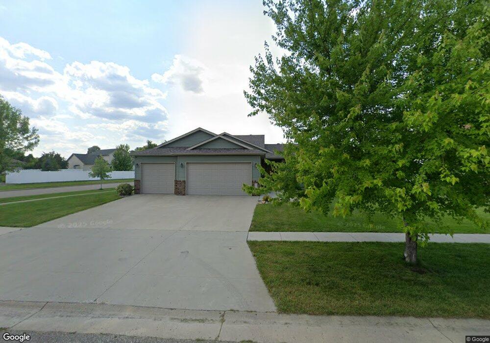
1952 Queensbury St West Fargo, ND 58078
Charleswood NeighborhoodEstimated Value: $370,000 - $499,000
3
Beds
4
Baths
2,206
Sq Ft
$208/Sq Ft
Est. Value
About This Home
This home is located at 1952 Queensbury St, West Fargo, ND 58078 and is currently estimated at $457,979, approximately $207 per square foot. 1952 Queensbury St is a home located in Cass County with nearby schools including South Elementary School, Cheney Middle School, and West Fargo High School.
Ownership History
Date
Name
Owned For
Owner Type
Purchase Details
Closed on
Jul 24, 2009
Sold by
Burns Mike and Burns Karen
Bought by
Wolf Steve and Wolf Christy
Current Estimated Value
Purchase Details
Closed on
May 2, 2008
Sold by
Klein Construction Inc
Bought by
Burns Mike and Burns Karen
Home Financials for this Owner
Home Financials are based on the most recent Mortgage that was taken out on this home.
Original Mortgage
$41,850
Interest Rate
5.88%
Mortgage Type
Stand Alone Second
Purchase Details
Closed on
Apr 30, 2008
Sold by
Charleswood Inc
Bought by
Kl Ein Construction Inc
Home Financials for this Owner
Home Financials are based on the most recent Mortgage that was taken out on this home.
Original Mortgage
$41,850
Interest Rate
5.88%
Mortgage Type
Stand Alone Second
Create a Home Valuation Report for This Property
The Home Valuation Report is an in-depth analysis detailing your home's value as well as a comparison with similar homes in the area
Home Values in the Area
Average Home Value in this Area
Purchase History
| Date | Buyer | Sale Price | Title Company |
|---|---|---|---|
| Wolf Steve | -- | -- | |
| Burns Mike | $279,000 | -- | |
| Kl Ein Construction Inc | -- | -- |
Source: Public Records
Mortgage History
| Date | Status | Borrower | Loan Amount |
|---|---|---|---|
| Previous Owner | Burns Mike | $41,850 | |
| Previous Owner | Kl Ein Construction Inc | $223,200 |
Source: Public Records
Tax History Compared to Growth
Tax History
| Year | Tax Paid | Tax Assessment Tax Assessment Total Assessment is a certain percentage of the fair market value that is determined by local assessors to be the total taxable value of land and additions on the property. | Land | Improvement |
|---|---|---|---|---|
| 2024 | $5,503 | $212,050 | $39,700 | $172,350 |
| 2023 | $5,583 | $194,700 | $39,700 | $155,000 |
| 2022 | $5,720 | $191,250 | $39,700 | $151,550 |
| 2021 | $5,462 | $178,100 | $35,500 | $142,600 |
| 2020 | $5,192 | $171,450 | $35,500 | $135,950 |
| 2019 | $4,988 | $170,750 | $35,500 | $135,250 |
| 2018 | $4,745 | $169,400 | $35,500 | $133,900 |
| 2017 | $5,035 | $170,800 | $35,500 | $135,300 |
| 2016 | $4,528 | $165,750 | $35,500 | $130,250 |
| 2015 | $4,398 | $146,700 | $21,350 | $125,350 |
| 2014 | $4,206 | $137,100 | $21,350 | $115,750 |
| 2013 | $4,284 | $137,100 | $21,350 | $115,750 |
Source: Public Records
Map
Nearby Homes
- 1944 Queensbury St
- 1929 6th St E
- 1936 Queensbury St
- 2015 Ruxton Ct
- 1921 6th St E
- 1959 Queensbury St
- 1951 Queensbury St
- 2022 Ruttan Ct
- 2023 Ruxton Ct
- 1928 Queensbury St
- 1913 6th St E
- 1935 Queensbury St
- 2014 Ruttan Ct
- 1873 6th St E
- 2016 Ruxton Ct
- 1831 6th St E
- 1927 Queensbury St
- 2030 Ruttan Ct
- 1920 Queensbury St
- 2031 Ruxton Ct