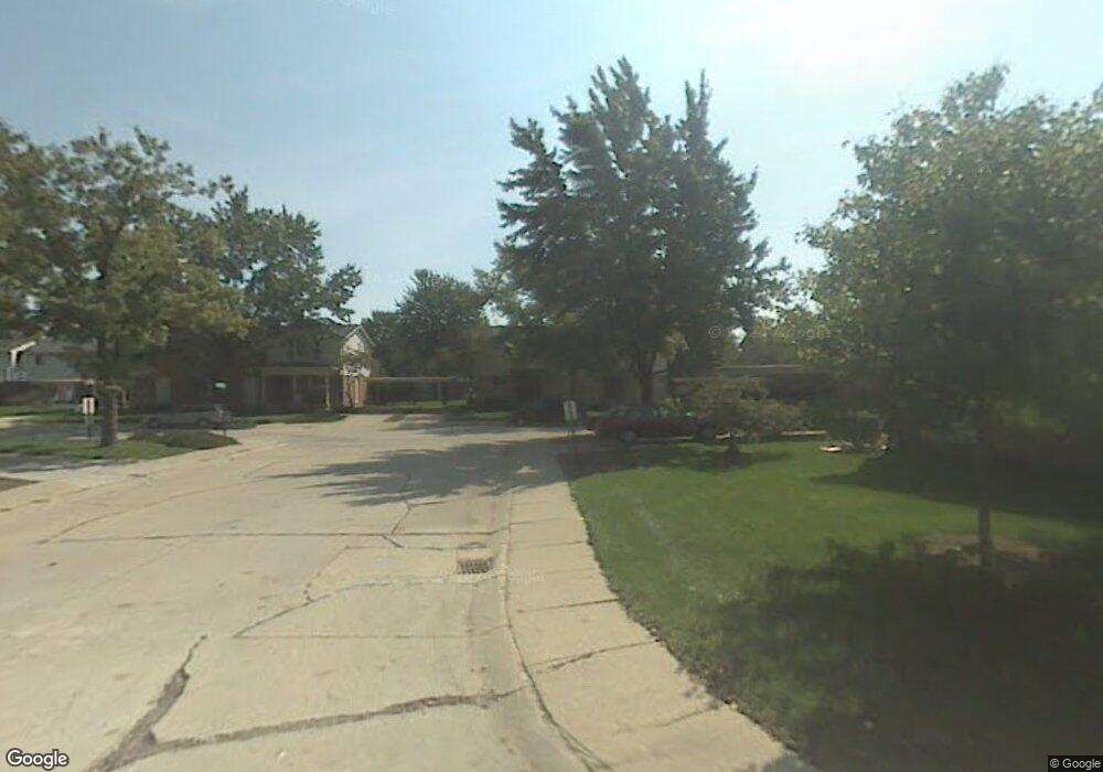
1952 W Franklin Dr Canton, MI 48187
Estimated Value: $210,563 - $232,000
Studio
2
Baths
1,218
Sq Ft
$183/Sq Ft
Est. Value
About This Home
This home is located at 1952 W Franklin Dr, Canton, MI 48187 and is currently estimated at $223,141, approximately $183 per square foot. 1952 W Franklin Dr is a home located in Wayne County with nearby schools including Canton High School, Discovery Middle School, and Salem High School.
Ownership History
Date
Name
Owned For
Owner Type
Purchase Details
Closed on
Apr 1, 2013
Sold by
Secretary Of Housing & Urban Development
Bought by
Chawdhory Deepak
Current Estimated Value
Purchase Details
Closed on
Dec 21, 2012
Sold by
Jpmorgan Chase Bank National Association
Bought by
The Secretary Of Housing & Urban Develop
Purchase Details
Closed on
May 24, 2012
Sold by
Boughton Lisa and Boughton Robert K
Bought by
Jpmorgan Chase Bank National Association
Create a Home Valuation Report for This Property
The Home Valuation Report is an in-depth analysis detailing your home's value as well as a comparison with similar homes in the area
Home Values in the Area
Average Home Value in this Area
Purchase History
| Date | Buyer | Sale Price | Title Company |
|---|---|---|---|
| Chawdhory Deepak | $68,179 | None Available | |
| The Secretary Of Housing & Urban Develop | -- | None Available | |
| Jpmorgan Chase Bank National Association | $128,830 | None Available |
Source: Public Records
Tax History
| Year | Tax Paid | Tax Assessment Tax Assessment Total Assessment is a certain percentage of the fair market value that is determined by local assessors to be the total taxable value of land and additions on the property. | Land | Improvement |
|---|---|---|---|---|
| 2025 | $766 | $98,600 | $0 | $0 |
| 2024 | $744 | $81,300 | $0 | $0 |
| 2023 | $709 | $68,900 | $0 | $0 |
| 2022 | $1,667 | $64,300 | $0 | $0 |
| 2021 | $1,617 | $64,300 | $0 | $0 |
| 2020 | $1,593 | $62,500 | $0 | $0 |
| 2019 | $1,566 | $58,870 | $0 | $0 |
| 2018 | $603 | $56,460 | $0 | $0 |
| 2017 | $1,695 | $46,900 | $0 | $0 |
| 2016 | $1,433 | $47,600 | $0 | $0 |
| 2015 | $3,313 | $38,660 | $0 | $0 |
| 2013 | $3,289 | $32,890 | $0 | $0 |
| 2010 | -- | $48,180 | $21,000 | $27,180 |
Source: Public Records
Map
Nearby Homes
- 1995 Peerce Ct Unit 2
- 44447 Savery Dr Unit 126
- 1822 N Sheldon Rd
- 0000 Ford
- 58560 Stuart Dr
- 1399 Elmhurst St
- 45005 Saltz Rd
- 1584 Commodore Cir Unit 33
- 49772 Shoreline Dr
- 45645 Graystone Ln Unit 100
- 45874 S Stonewood Rd Unit 221
- 48590 Ford Rd
- 1211 W Franciscan Ct
- 835 Coldrose Way
- 45678 Aragon Ln
- 1276 W Crystal Cir Unit 202
- 1244 W Crystal Cir
- 1632 Peninsula Ct Unit 159
- 1289 Old Colony Ln Unit 232
- 45677 Radnor Rd
- 1952 W Franklin Dr Unit 34
- 1938 W Franklin Dr Unit 32
- 1960 W Franklin Dr Unit 36
- 2006 W Franklin Dr Unit 38
- 2045 W Franklin Dr Unit 46
- 2043 W Franklin Dr
- 2051 W Franklin Dr Unit 44
- 2021 E Franklin Dr
- 44730 Ford Rd
- 2002 W Franklin Dr
- 2041 W Franklin Dr Unit 48
- 1937 W Franklin Dr Unit 15
- 2003 E Franklin Dr Unit 63
- 2003 E Franklin Dr Unit 23, 63
- 2003 E Franklin Dr Unit 2003
- 1956 W Franklin Dr Unit 35
- 1989 Peerce Ct Unit 4
- 1967 E Franklin Dr
- 1967 Peerce Ct
- 1973 Peerce Ct
Your Personal Tour Guide
Ask me questions while you tour the home.