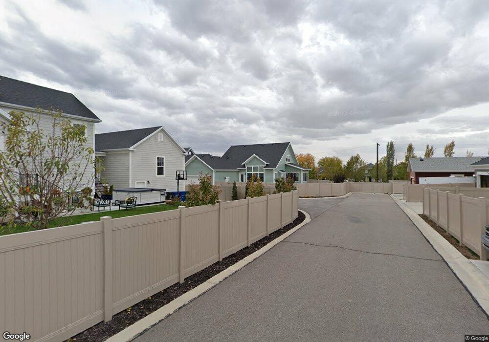
1952 W Orchard Harvest Dr Unit 207 Kaysville, UT 84037
West Kaysville NeighborhoodEstimated Value: $855,984 - $866,000
3
Beds
2
Baths
4,388
Sq Ft
$196/Sq Ft
Est. Value
About This Home
This home is located at 1952 W Orchard Harvest Dr Unit 207, Kaysville, UT 84037 and is currently estimated at $860,746, approximately $196 per square foot. 1952 W Orchard Harvest Dr Unit 207 is a home located in Davis County with nearby schools including Kay's Creek Elementary School, Shoreline Junior High School, and Davis High School.
Ownership History
Date
Name
Owned For
Owner Type
Purchase Details
Closed on
Mar 14, 2023
Sold by
Vandyke Lynn N
Bought by
Van Dyke Family Trust
Current Estimated Value
Purchase Details
Closed on
Apr 27, 2021
Sold by
Harmon Casey and Harmon Melissa
Bought by
Vandyke Lynn N and Vandyke Van Dyke
Purchase Details
Closed on
Mar 16, 2016
Sold by
Destination Homes Inc
Bought by
Harmon Casey and Harmon Melissa
Create a Home Valuation Report for This Property
The Home Valuation Report is an in-depth analysis detailing your home's value as well as a comparison with similar homes in the area
Home Values in the Area
Average Home Value in this Area
Purchase History
| Date | Buyer | Sale Price | Title Company |
|---|---|---|---|
| Van Dyke Family Trust | -- | -- | |
| Vandyke Lynn N | -- | First American Title | |
| Harmon Casey | -- | Stewart Title |
Source: Public Records
Tax History Compared to Growth
Tax History
| Year | Tax Paid | Tax Assessment Tax Assessment Total Assessment is a certain percentage of the fair market value that is determined by local assessors to be the total taxable value of land and additions on the property. | Land | Improvement |
|---|---|---|---|---|
| 2025 | $4,084 | $428,450 | $167,480 | $260,970 |
| 2024 | $4,084 | $430,650 | $140,718 | $289,932 |
| 2023 | $4,129 | $771,000 | $266,194 | $504,806 |
| 2022 | $4,195 | $439,450 | $146,384 | $293,066 |
| 2021 | $3,860 | $606,000 | $159,098 | $446,902 |
| 2020 | $3,460 | $529,000 | $133,446 | $395,554 |
| 2019 | $3,610 | $542,000 | $144,714 | $397,286 |
| 2018 | $3,360 | $503,000 | $117,931 | $385,069 |
| 2016 | $2,598 | $204,435 | $48,278 | $156,157 |
Source: Public Records
Map
Nearby Homes
- 2056 W Phillips St
- 2095 W 200 N
- 1071 Shoreline Dr
- 34 S Preston St
- 1042 W Shoreline Dr
- Brinton Signature Plan at Pintail Estates
- 774 W Farming Way
- 37 S Preston St Unit 10
- 256 Seemore Dr
- 1845 W Sherri Ln
- 71 S Harvs Ln
- 1910 W Bonneville Ln
- 1873 W 75 S
- 1441 Bridgeview Dr
- 2234 Burkhill Place Unit 425
- Spruce Pantry Plan at West Gate
- Ash Plan at West Gate
- Willow Plus Plan at West Gate
- Sequoia Plan at West Gate
- Chapman Plan at West Gate
- 1940 W Orchard Harvest Dr Unit 206
- 1940 W Orchard Harvest Dr
- 398 N Joseph Acres Rd
- 1970 W Orchard Harvest Dr Unit 212
- 1970 W Orchard Harvest Dr
- 1957 W Orchard Harvest Dr
- 401 N Hill Farms Ln Unit 233
- 401 N Hill Farms Ln
- 1945 W Orchard Harvest Dr
- 1945 W Orchard Harvest Dr Unit 205
- 407 N Joseph Acres Rd Unit 211
- 407 N Joseph Acres Rd
- 409 N Hill Farms Ln
- 412 N Joseph Acres Rd
- 417 N Hill Farms Ln Unit 231
- 1982 W Orchard Harvest Dr Unit 213
- 1982 W Orchard Harvest Dr
- 1973 W Orchard Harvest Dr Unit 203
- 381 Hill Farms Ln
- 415 N Joseph Acres Rd Unit 210