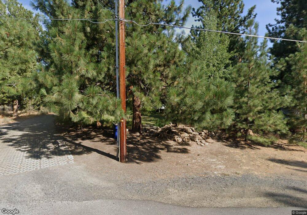
19520 Kemple Dr Bend, OR 97702
Century West NeighborhoodEstimated Value: $1,098,215 - $1,304,000
3
Beds
2
Baths
2,646
Sq Ft
$459/Sq Ft
Est. Value
About This Home
This home is located at 19520 Kemple Dr, Bend, OR 97702 and is currently estimated at $1,215,804, approximately $459 per square foot. 19520 Kemple Dr is a home located in Deschutes County with nearby schools including William E. Miller Elementary School, Cascade Middle School, and Summit High School.
Ownership History
Date
Name
Owned For
Owner Type
Purchase Details
Closed on
Nov 23, 2005
Sold by
Rench Christopher J and Rench Erika
Bought by
Bunting Gordon E and Bunting Banni R
Current Estimated Value
Purchase Details
Closed on
Jul 14, 2003
Sold by
Rench Christopher J and Rench Erika
Bought by
Rench Christopher J and Rench Erika
Create a Home Valuation Report for This Property
The Home Valuation Report is an in-depth analysis detailing your home's value as well as a comparison with similar homes in the area
Home Values in the Area
Average Home Value in this Area
Purchase History
| Date | Buyer | Sale Price | Title Company |
|---|---|---|---|
| Bunting Gordon E | $685,000 | Amerititle | |
| Rench Christopher J | -- | -- |
Source: Public Records
Tax History Compared to Growth
Tax History
| Year | Tax Paid | Tax Assessment Tax Assessment Total Assessment is a certain percentage of the fair market value that is determined by local assessors to be the total taxable value of land and additions on the property. | Land | Improvement |
|---|---|---|---|---|
| 2025 | $6,193 | $366,550 | -- | -- |
| 2024 | $5,959 | $355,880 | -- | -- |
| 2023 | $5,524 | $345,520 | $0 | $0 |
| 2022 | $5,154 | $325,690 | $0 | $0 |
| 2021 | $5,161 | $316,210 | $0 | $0 |
| 2020 | $4,897 | $316,210 | $0 | $0 |
| 2019 | $4,760 | $307,000 | $0 | $0 |
| 2018 | $4,626 | $298,060 | $0 | $0 |
| 2017 | $4,556 | $289,380 | $0 | $0 |
| 2016 | $4,348 | $280,960 | $0 | $0 |
| 2015 | $4,230 | $272,780 | $0 | $0 |
| 2014 | $4,107 | $264,840 | $0 | $0 |
Source: Public Records
Map
Nearby Homes
- 61389 Campbell Ct
- 61417 Cultus Lake Ct
- 61464 Meeks Trail
- 19580 SW Century Dr
- 61482 Meeks Trail
- 19520 SW Century Dr
- 19476 SW Century Dr Unit 1 & 2
- 19476 SW Century Dr
- 61457 Hackleman Ct
- 61379 Lost Hollow Loop
- 19530 Sunshine Way
- 61354 Lost Hollow Loop
- 19452 Brookside Way
- 61318 Tetherow Vista Dr
- 61358 Kindle Rock Loop
- 61354 Triple Knot Rd
- 61337 Kindle Rock Loop
- 61266 Meeks Trail
- 0 Outrider Loop Unit 32 220195539
- 61624 Suttle Lake Ct
- 19528 E Campbell Rd
- 19506 Kemple Dr
- 61395 Cob St
- 61382 Cultus Lake Ct
- 61384 Campbell Ct
- 19526 W Campbell Rd
- 19536 E Campbell Rd
- 19627 SW Campbell Ct
- 70 SW Campbell Ct
- 19621 SW Campbell Ct
- 19609 SW Campbell Ct
- 19615 SW Campbell Ct
- 61385 SW Campbell Ct
- 61370 Cultus Lake Ct
- 61388 Cultus Lake Ct
- 19537 E Campbell Rd
- 19492 Kemple Dr
- 19540 E Campbell Rd
- 61388 Campbell Ct
- 19489 Kemple Dr
