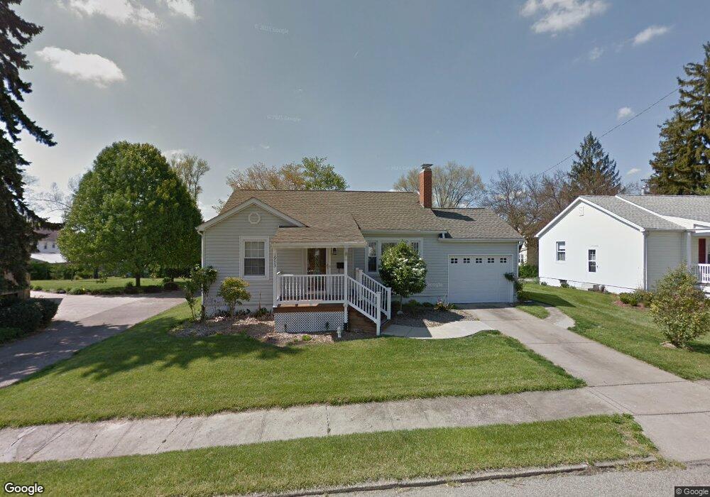
1953 Euclid Ave Zanesville, OH 43701
Estimated Value: $179,000 - $219,897
2
Beds
1
Bath
1,012
Sq Ft
$198/Sq Ft
Est. Value
About This Home
This home is located at 1953 Euclid Ave, Zanesville, OH 43701 and is currently estimated at $200,224, approximately $197 per square foot. 1953 Euclid Ave is a home located in Muskingum County with nearby schools including John McIntire Elementary School, Zanesville Middle School, and Zanesville High School.
Ownership History
Date
Name
Owned For
Owner Type
Purchase Details
Closed on
Oct 7, 2008
Sold by
Watts Roxanne and Watts Michael E
Bought by
Watts Michael E and Watts Roxanne
Current Estimated Value
Purchase Details
Closed on
Jul 22, 2002
Sold by
Trst Lulu M Bridwell
Bought by
Taggart Roxanne
Home Financials for this Owner
Home Financials are based on the most recent Mortgage that was taken out on this home.
Original Mortgage
$55,920
Outstanding Balance
$23,840
Interest Rate
6.79%
Mortgage Type
New Conventional
Estimated Equity
$176,384
Create a Home Valuation Report for This Property
The Home Valuation Report is an in-depth analysis detailing your home's value as well as a comparison with similar homes in the area
Home Values in the Area
Average Home Value in this Area
Purchase History
| Date | Buyer | Sale Price | Title Company |
|---|---|---|---|
| Watts Michael E | -- | Attorney | |
| Taggart Roxanne | $69,900 | -- |
Source: Public Records
Mortgage History
| Date | Status | Borrower | Loan Amount |
|---|---|---|---|
| Open | Taggart Roxanne | $55,920 |
Source: Public Records
Tax History Compared to Growth
Tax History
| Year | Tax Paid | Tax Assessment Tax Assessment Total Assessment is a certain percentage of the fair market value that is determined by local assessors to be the total taxable value of land and additions on the property. | Land | Improvement |
|---|---|---|---|---|
| 2024 | $1,537 | $52,150 | $8,785 | $43,365 |
| 2023 | $975 | $34,300 | $4,830 | $29,470 |
| 2022 | $974 | $34,300 | $4,830 | $29,470 |
| 2021 | $966 | $34,300 | $4,830 | $29,470 |
| 2020 | $1,208 | $31,185 | $4,375 | $26,810 |
| 2019 | $1,208 | $31,185 | $4,375 | $26,810 |
| 2018 | $1,225 | $31,185 | $4,375 | $26,810 |
| 2017 | $1,157 | $28,280 | $4,375 | $23,905 |
| 2016 | $1,173 | $28,290 | $4,380 | $23,910 |
| 2015 | $1,177 | $28,290 | $4,380 | $23,910 |
| 2013 | $1,012 | $21,850 | $4,380 | $17,470 |
Source: Public Records
Map
Nearby Homes
- 1968 Dresden Rd
- 453 Yale Ave
- 1926 Norwood Blvd
- 435 Westview Dr
- 2333 Dresden Rd
- 357 Mcconnell Ave
- 2040 Norwood Blvd
- 513 Van Horn Ave
- 626 Saint Louis Ave
- 714 Saint Louis Ave
- 641 Fairmont Ave
- 533 Winton Ave
- 839 Brown St
- 1435 Bluff St
- 1430 Euclid Ave
- 464 Coventry Cir
- 2036 Marion Ave
- 1516 Myrtle Ave
- 2411 Bell St
- 1630 Marion Ave
- 1957 Euclid Ave
- 1935 Euclid Ave
- 1965 Euclid Ave
- 486 Yale Ave
- 2028 Dresden Rd
- 2034 Dresden Rd
- 478 Yale Ave
- 2024 Dresden Rd
- 1969 Euclid Ave
- 1950 Euclid Ave
- 1954 Euclid Ave
- 2014 Dresden Rd
- 1958 Euclid Ave
- 2020 Dresden Rd
- 1962 Euclid Ave
- 1921 Euclid Ave
- 1942 Euclid Ave
- 2012 Dresden Rd
- 1966 Euclid Ave
- 1924 Euclid Ave