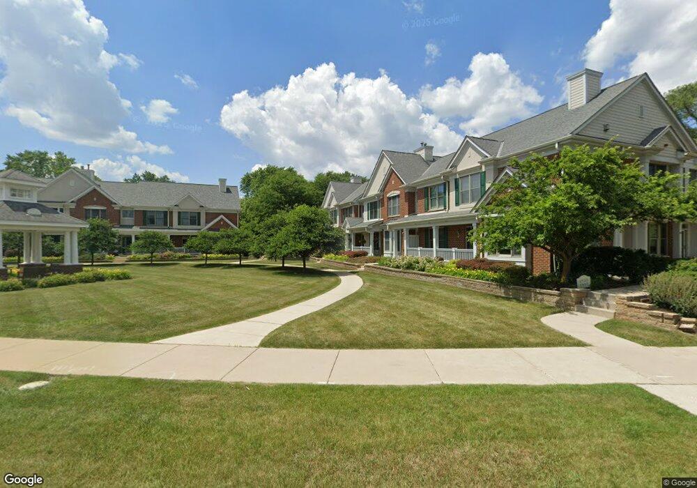
1953 Norhardt Dr Brookfield, WI 53045
Estimated Value: $431,000 - $468,000
2
Beds
3
Baths
1,570
Sq Ft
$281/Sq Ft
Est. Value
About This Home
This home is located at 1953 Norhardt Dr, Brookfield, WI 53045 and is currently estimated at $441,508, approximately $281 per square foot. 1953 Norhardt Dr is a home located in Waukesha County with nearby schools including Brookfield Elementary School, Wisconsin Hills Middle School, and Brookfield Central High School.
Ownership History
Date
Name
Owned For
Owner Type
Purchase Details
Closed on
Jul 19, 2024
Sold by
James Heimerl and James Claire M
Bought by
Siebold Claire M
Current Estimated Value
Purchase Details
Closed on
Jun 8, 2016
Sold by
Benson Daniel G and Benson Joyce L
Bought by
Rondeau Sally A and Rondeau Scott D
Create a Home Valuation Report for This Property
The Home Valuation Report is an in-depth analysis detailing your home's value as well as a comparison with similar homes in the area
Home Values in the Area
Average Home Value in this Area
Purchase History
| Date | Buyer | Sale Price | Title Company |
|---|---|---|---|
| Siebold Claire M | -- | None Listed On Document | |
| Rondeau Sally A | $280,000 | Priority Title Corp |
Source: Public Records
Tax History
| Year | Tax Paid | Tax Assessment Tax Assessment Total Assessment is a certain percentage of the fair market value that is determined by local assessors to be the total taxable value of land and additions on the property. | Land | Improvement |
|---|---|---|---|---|
| 2024 | $4,384 | $396,900 | $100,000 | $296,900 |
| 2023 | $4,380 | $396,900 | $100,000 | $296,900 |
| 2022 | $4,485 | $317,600 | $100,000 | $217,600 |
| 2021 | $4,746 | $317,600 | $100,000 | $217,600 |
| 2020 | $4,749 | $304,400 | $100,000 | $204,400 |
| 2019 | $4,556 | $304,400 | $100,000 | $204,400 |
| 2018 | $4,633 | $300,100 | $85,000 | $215,100 |
| 2017 | $5,370 | $300,100 | $85,000 | $215,100 |
| 2016 | $4,709 | $300,100 | $85,000 | $215,100 |
| 2015 | $4,686 | $300,100 | $85,000 | $215,100 |
| 2014 | $4,692 | $300,100 | $85,000 | $215,100 |
| 2013 | $4,860 | $300,100 | $85,000 | $215,100 |
Source: Public Records
Map
Nearby Homes
- 2135 Michelle Dr
- 2340 Alta Louise Pkwy
- 2365 N Calhoun Rd
- 18220 Colline Vue Blvd
- 17860 Greenbrier Dr
- 2285 N 166th St
- 18865 Tanala Dr
- 17849 Nassau Dr Unit Bldg EC2
- 2870 Teal Ridge Ct Unit B
- 17685 Evergreen Ct
- 2975 River Birch Dr Unit C
- 885 Rocky Point Unit C
- 18525 Pleasant St
- 18850 N Hills Dr
- 2950 N 186th St Unit 9
- 18125 W Wisconsin Ave Unit 203
- 18860 N Hills Dr
- 2945 N 186th St
- 2960 N 186th St Unit 10
- 2000 Kathlynn Ct
- 1955 Norhardt Dr Unit 1955
- 1951 Norhardt Dr
- 1945 Norhardt Dr Unit 1945
- 1943 Norhardt Dr
- 1925 Norhardt Dr Unit 1925
- 1923 Norhardt Dr
- 1921 Norhardt Dr Unit 1921
- 1915 Norhardt Dr Unit 1915
- 1913 Norhardt Dr
- 1995 Norhardt Dr
- 1911 Norhardt Dr Unit 1911
- 1753 Norhardt Dr
- 1775 Norhardt Dr Unit 1775
- 1771 Norhardt Dr Unit 1771
- 1745 Norhardt Dr Unit 1745
- 1751 Norhardt Dr Unit 1751
- 1815 Norhardt Dr
- 1755 Norhardt Dr Unit 1755
- 1773 Norhardt Dr Unit 1773
- 1781 Norhardt Dr
Your Personal Tour Guide
Ask me questions while you tour the home.