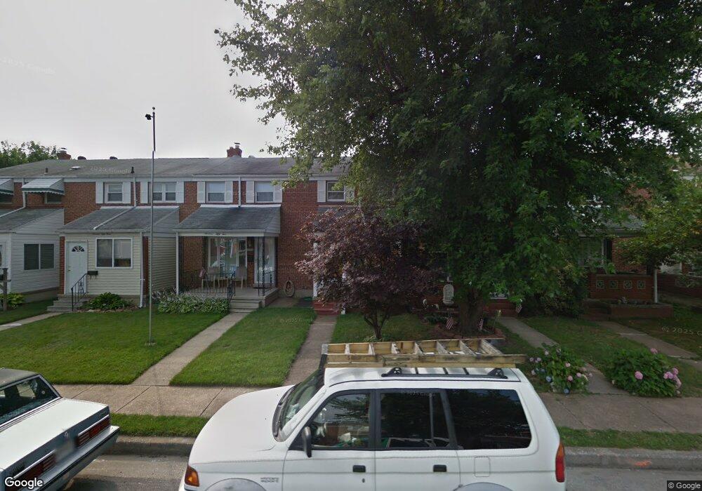
1953 Ormand Rd Dundalk, MD 21222
Estimated Value: $199,630 - $233,000
Studio
2
Baths
1,008
Sq Ft
$219/Sq Ft
Est. Value
About This Home
This home is located at 1953 Ormand Rd, Dundalk, MD 21222 and is currently estimated at $220,908, approximately $219 per square foot. 1953 Ormand Rd is a home located in Baltimore County with nearby schools including Grange Elementary School, General John Stricker Middle School, and Patapsco High & Center for Arts.
Ownership History
Date
Name
Owned For
Owner Type
Purchase Details
Closed on
Dec 9, 2022
Sold by
Manger Karen Marie
Bought by
Manger Karen Marie
Current Estimated Value
Home Financials for this Owner
Home Financials are based on the most recent Mortgage that was taken out on this home.
Original Mortgage
$151,000
Interest Rate
6.15%
Mortgage Type
New Conventional
Purchase Details
Closed on
Mar 22, 2002
Sold by
Stout Frederick W
Bought by
Manger Sharon M
Purchase Details
Closed on
Mar 4, 1993
Sold by
Hughes Linda
Bought by
Stout Frederick W
Create a Home Valuation Report for This Property
The Home Valuation Report is an in-depth analysis detailing your home's value as well as a comparison with similar homes in the area
Home Values in the Area
Average Home Value in this Area
Purchase History
| Date | Buyer | Sale Price | Title Company |
|---|---|---|---|
| Manger Karen Marie | -- | -- | |
| Manger Karen Marie | -- | None Listed On Document | |
| Manger Sharon M | $92,000 | -- | |
| Stout Frederick W | $77,500 | -- |
Source: Public Records
Mortgage History
| Date | Status | Borrower | Loan Amount |
|---|---|---|---|
| Previous Owner | Manger Karen Marie | $151,000 |
Source: Public Records
Tax History
| Year | Tax Paid | Tax Assessment Tax Assessment Total Assessment is a certain percentage of the fair market value that is determined by local assessors to be the total taxable value of land and additions on the property. | Land | Improvement |
|---|---|---|---|---|
| 2025 | $2,373 | $159,933 | -- | -- |
| 2024 | $2,373 | $148,667 | $0 | $0 |
| 2023 | $1,230 | $137,400 | $36,000 | $101,400 |
| 2022 | $2,410 | $135,600 | $0 | $0 |
| 2021 | $2,255 | $133,800 | $0 | $0 |
| 2020 | $2,255 | $132,000 | $36,000 | $96,000 |
| 2019 | $2,126 | $128,633 | $0 | $0 |
| 2018 | $2,109 | $125,267 | $0 | $0 |
| 2017 | $1,997 | $121,900 | $0 | $0 |
| 2016 | $1,911 | $121,900 | $0 | $0 |
| 2015 | $1,911 | $121,900 | $0 | $0 |
| 2014 | $1,911 | $142,000 | $0 | $0 |
Source: Public Records
Map
Nearby Homes
- 2725 Kirkleigh Rd
- 1954 Stanhope Rd
- 1930 Stanhope Rd
- 2746 Moorgate Rd
- 2738 Moorgate Rd
- 1924 Sunberry Rd
- 7252 Meadow Ln
- 7807 Rockbourne Rd
- 7832 Rockbourne Rd
- 1940H Robinwood Rd
- 9 Vista Mobile Dr
- 7111 Sollers Point Rd
- 2953 Yorkway
- 2970 Yorkway
- 7928 Kavanagh Rd
- 7512 School Ave
- 3135 Sollers Point Rd
- 2007 Dineen Dr
- 100 Shipway
- 1943 Dineen Dr
- 1955 Ormand Rd
- 1951 Ormand Rd
- 1957 Ormand Rd
- 1959 Ormand Rd
- 1949 Ormand Rd
- 1961 Ormand Rd
- 1947 Ormand Rd
- 1963 Ormand Rd
- 1943 Ormand Rd
- 1952 Holborn Rd
- 1954 Holborn Rd
- 1950 Holborn Rd
- 1956 Holborn Rd
- 1958 Holborn Rd
- 1941 Ormand Rd
- 1948 Holborn Rd
- 1960 Holborn Rd
- 1946 Holborn Rd
- 1939 Ormand Rd
- 1962 Holborn Rd
Your Personal Tour Guide
Ask me questions while you tour the home.