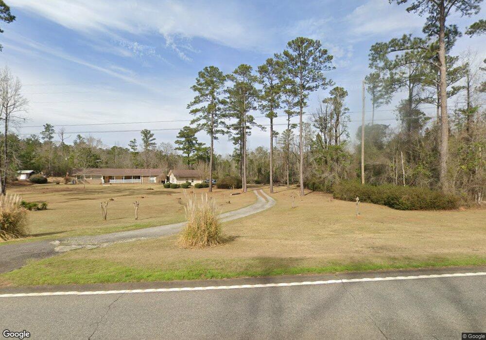
1953 Us Highway 82 Georgetown, GA 39854
Estimated Value: $96,000 - $236,000
3
Beds
2
Baths
2,220
Sq Ft
$79/Sq Ft
Est. Value
About This Home
This home is located at 1953 Us Highway 82, Georgetown, GA 39854 and is currently estimated at $176,375, approximately $79 per square foot. 1953 Us Highway 82 is a home with nearby schools including Quitman County Elementary School and Quitman County High School.
Ownership History
Date
Name
Owned For
Owner Type
Purchase Details
Closed on
Mar 12, 2025
Sold by
Corlee Leonard F
Bought by
Corlee Martha R
Current Estimated Value
Purchase Details
Closed on
Aug 17, 1970
Sold by
Corlee Leonard and Corlee Mar
Bought by
Corlee Leonard and Corlee Mar
Purchase Details
Closed on
Jan 1, 1901
Sold by
Corlee Leonard and Corlee Mar
Bought by
Corlee Leonard and Corlee Mar
Create a Home Valuation Report for This Property
The Home Valuation Report is an in-depth analysis detailing your home's value as well as a comparison with similar homes in the area
Home Values in the Area
Average Home Value in this Area
Purchase History
| Date | Buyer | Sale Price | Title Company |
|---|---|---|---|
| Corlee Martha R | -- | -- | |
| Corlee Leonard | -- | -- | |
| Corlee Leonard | $600 | -- | |
| Corlee Leonard | $1,200 | -- |
Source: Public Records
Tax History Compared to Growth
Tax History
| Year | Tax Paid | Tax Assessment Tax Assessment Total Assessment is a certain percentage of the fair market value that is determined by local assessors to be the total taxable value of land and additions on the property. | Land | Improvement |
|---|---|---|---|---|
| 2025 | $1,222 | $64,402 | $7,520 | $56,882 |
| 2024 | $1,222 | $64,402 | $7,520 | $56,882 |
| 2023 | $1,233 | $64,402 | $7,520 | $56,882 |
| 2022 | $1,237 | $64,402 | $7,520 | $56,882 |
| 2021 | $933 | $49,415 | $11,878 | $37,537 |
| 2020 | $932 | $49,415 | $11,878 | $37,537 |
| 2019 | $933 | $49,415 | $11,878 | $37,537 |
| 2018 | $1,582 | $49,415 | $11,878 | $37,537 |
| 2017 | $865 | $52,280 | $11,878 | $40,402 |
| 2016 | $938 | $52,280 | $11,878 | $40,402 |
| 2015 | -- | $52,280 | $11,878 | $40,402 |
| 2014 | -- | $52,280 | $11,878 | $40,402 |
| 2013 | -- | $52,279 | $11,877 | $40,402 |
Source: Public Records
Map
Nearby Homes
- 15 Bay Ln
- 2036 Georgia 39
- 0 Lots 2 3 4 Point Dr Unit 20065
- 0 Tanglewood Trail Unit 27290
- 1794 Georgia 50
- 48 Ralph Sr Rd
- 0 Old 39 Rd Unit 15.69
- 15.69 Old 39 Rd
- 0 Lower Lumpkin Rd
- 0 Lower Lumpkin Rd Unit 10511110
- 10 Whip o Will Ln
- 102-103 Magnolia Dr
- 111 Arrowhead Dr
- 0 Jacqueline Dr
- 76 Jacqueline Dr
- 253 Kaigler Rd
- 98 Cool Branch Rd
- 2+/- Ac Fawn Dr
- 000 Cool Branch Rd
- 0 Cool Branch Rd
- 1985 Us Highway 82
- 1934 Us Highway 82
- 1908 Us Highway 82
- 1986 Us Highway 82
- 1895 Us Highway 82
- 1895 Us Highway 82
- 14 Pecan Ln
- 2016 Us Highway 82
- 17 U S 82
- 28 U S 82
- 7 Georgia 50
- 28 Georgia 50
- 60 Georgia 50
- 42 Georgia 50
- 50 Georgia 50
- 41 Georgia 50
- 13 Pecan Ln
- 1881 Us Highway 82
- 35 Hyder Way
- 2026 Us Highway 82