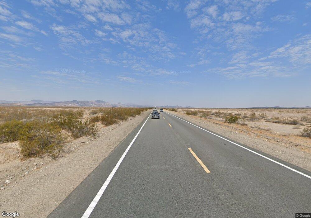
1954 & 1950 Highway 95 Bullhead, AZ 86442
Estimated Value: $532,512
--
Bed
--
Bath
4,000
Sq Ft
$133/Sq Ft
Est. Value
About This Home
This home is located at 1954 & 1950 Highway 95, Bullhead, AZ 86442 and is currently estimated at $532,512, approximately $133 per square foot. 1954 & 1950 Highway 95 is a home located in Mohave County with nearby schools including Sunrise Elementary School, Fox Creek Junior High School, and Mohave High School.
Ownership History
Date
Name
Owned For
Owner Type
Purchase Details
Closed on
May 11, 2016
Sold by
Blunt Ralph and Blunt Norma
Bought by
Naar Capital Llc
Current Estimated Value
Home Financials for this Owner
Home Financials are based on the most recent Mortgage that was taken out on this home.
Original Mortgage
$240,000
Outstanding Balance
$191,367
Interest Rate
3.71%
Mortgage Type
Seller Take Back
Estimated Equity
$341,145
Purchase Details
Closed on
Apr 11, 2005
Sold by
Boren Paul D and Boren Janet M
Bought by
Boren Paul D and Boren Janet M
Create a Home Valuation Report for This Property
The Home Valuation Report is an in-depth analysis detailing your home's value as well as a comparison with similar homes in the area
Home Values in the Area
Average Home Value in this Area
Purchase History
| Date | Buyer | Sale Price | Title Company |
|---|---|---|---|
| Naar Capital Llc | $270,000 | Chicago Title Agency Inc | |
| Boren Paul D | -- | -- |
Source: Public Records
Mortgage History
| Date | Status | Borrower | Loan Amount |
|---|---|---|---|
| Open | Naar Capital Llc | $240,000 |
Source: Public Records
Tax History Compared to Growth
Tax History
| Year | Tax Paid | Tax Assessment Tax Assessment Total Assessment is a certain percentage of the fair market value that is determined by local assessors to be the total taxable value of land and additions on the property. | Land | Improvement |
|---|---|---|---|---|
| 2026 | -- | -- | -- | -- |
| 2025 | $4,464 | $71,250 | $0 | $0 |
| 2024 | $4,464 | $58,560 | $0 | $0 |
| 2023 | $4,464 | $43,131 | $0 | $0 |
| 2022 | $4,430 | $43,022 | $0 | $0 |
| 2021 | $4,589 | $41,254 | $0 | $0 |
| 2019 | $4,314 | $35,691 | $0 | $0 |
| 2018 | $4,197 | $37,685 | $0 | $0 |
| 2017 | $2,506 | $19,083 | $0 | $0 |
| 2016 | $2,338 | $20,199 | $0 | $0 |
| 2015 | $2,248 | $18,298 | $0 | $0 |
Source: Public Records
Map
Nearby Homes
- 1439 Summit Dr
- 1900 Highway 95
- 1460 Terrace Dr
- 1505 Dorado Dr
- 1472 Summit Dr
- 1391 Riverfront Dr
- 1750 Clubhouse Dr Unit 56
- 1750 Clubhouse Dr Unit 65
- 1750 Clubhouse Dr Unit 62
- 1750 Clubhouse Dr Unit 64
- 1750 Clubhouse Dr Unit 67
- 1750 Clubhouse Dr Unit 63
- 1525 Turquoise Rd
- 1332 Riverfront Dr
- 1380 Lincoln Ln
- 1372 Lincoln Ln
- 1307 Terrace Dr
- 1800 Club House Dr Unit D45
- 1800 Clubhouse Dr Unit D41
- 1800 Clubhouse Dr Unit F62
- 1954 & 1950 Highway 95
- 1954 Highway 95
- 1950 Highway 95
- 1950 Arizona 95
- 1958 Highway 95
- 1950 Highway 95
- 1431 Summit Dr
- 1960 Highway 95
- 1960 Arizona 95
- 1434 Summit Cir
- 1440 Summit Cir
- 1957 Highway 95 Unit 5
- 1957 Highway 95 Unit 19
- 1957 Highway 95 Unit 35
- 1957 Highway 95 Unit 27
- 1957 Highway 95 Unit 23
- 1957 Highway 95
- 1957 Arizona 95 Unit 27
- 1957 Arizona 95 Unit 19
- 1957 Arizona 95 Unit 35
