1954 Liberty Place Unit 5622 Hoffman Estates, IL 60169
South Hoffman Estates NeighborhoodEstimated Value: $164,000 - $256,000
2
Beds
--
Bath
1,000
Sq Ft
$215/Sq Ft
Est. Value
About This Home
This home is located at 1954 Liberty Place Unit 5622, Hoffman Estates, IL 60169 and is currently estimated at $214,931, approximately $214 per square foot. 1954 Liberty Place Unit 5622 is a home located in Cook County with nearby schools including John Muir Literacy Academy, Dwight D Eisenhower Junior High School, and Hoffman Estates High School.
Ownership History
Date
Name
Owned For
Owner Type
Purchase Details
Closed on
Jul 25, 2002
Sold by
Massih Edwar and Massih Esteer
Bought by
Kettinger Tammy J
Current Estimated Value
Home Financials for this Owner
Home Financials are based on the most recent Mortgage that was taken out on this home.
Original Mortgage
$93,100
Outstanding Balance
$37,811
Interest Rate
6.12%
Estimated Equity
$177,120
Create a Home Valuation Report for This Property
The Home Valuation Report is an in-depth analysis detailing your home's value as well as a comparison with similar homes in the area
Home Values in the Area
Average Home Value in this Area
Purchase History
| Date | Buyer | Sale Price | Title Company |
|---|---|---|---|
| Kettinger Tammy J | -- | Lawyers Title Insurance Corp |
Source: Public Records
Mortgage History
| Date | Status | Borrower | Loan Amount |
|---|---|---|---|
| Open | Kettinger Tammy J | $93,100 |
Source: Public Records
Tax History Compared to Growth
Tax History
| Year | Tax Paid | Tax Assessment Tax Assessment Total Assessment is a certain percentage of the fair market value that is determined by local assessors to be the total taxable value of land and additions on the property. | Land | Improvement |
|---|---|---|---|---|
| 2024 | $4,112 | $13,400 | $3,423 | $9,977 |
| 2023 | $3,979 | $13,400 | $3,423 | $9,977 |
| 2022 | $3,979 | $13,400 | $3,423 | $9,977 |
| 2021 | $3,501 | $10,451 | $5,390 | $5,061 |
| 2020 | $3,420 | $10,451 | $5,390 | $5,061 |
| 2019 | $3,417 | $11,671 | $5,390 | $6,281 |
| 2018 | $2,256 | $6,917 | $4,706 | $2,211 |
| 2017 | $2,215 | $6,917 | $4,706 | $2,211 |
| 2016 | $2,061 | $6,917 | $4,706 | $2,211 |
| 2015 | $906 | $5,444 | $4,107 | $1,337 |
| 2014 | $907 | $5,444 | $4,107 | $1,337 |
| 2013 | $865 | $5,444 | $4,107 | $1,337 |
Source: Public Records
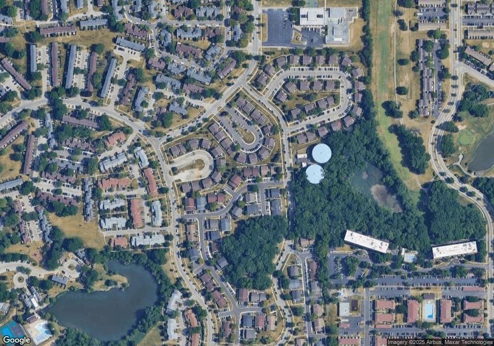
Map
Nearby Homes
- 1840 Huntington Blvd Unit 415
- 1840 Huntington Blvd Unit 412
- 1808 Fayette Walk Unit H
- 1862 Stockton Dr Unit 3283
- 1685 Cornell Dr
- 1886 Stockton Dr Unit 3253
- 1763 Bristol Walk Unit 1763
- 1672 Cornell Dr
- 1704 Fayette Walk Unit B
- 1956 Georgetown Ln Unit 4
- 1925 Georgetown Ln Unit 4
- 1854 Huntington Blvd Unit C
- 1475 Rebecca Dr Unit 217
- 1375 Rebecca Dr Unit 318
- 2230 Stratham Place
- 1738 Ardwick Dr
- 1977 Kenilworth Cir Unit D
- 1940 Kenilworth Cir Unit D
- 1996 Blackberry Ln Unit 14
- 1970 Kenilworth Cir Unit C
- 1956 Liberty Place Unit 5623
- 1962 Liberty Place Unit 5612
- 1966 Liberty Place Unit 5614
- 1964 Liberty Place Unit 5613
- 1958 Liberty Place Unit 5624
- 1960 Liberty Place Unit 5611
- 1955 Liberty Place Unit 5643
- 1953 Liberty Place Unit 5642
- 1963 Liberty Place Unit 5653
- 1959 Liberty Place Unit 5651
- 1965 Liberty Place Unit 5654
- 1957 Liberty Place Unit 5644
- 1951 Liberty Place Unit 5641
- 1786 Marquette Ln Unit 5682
- 1961 Liberty Place Unit 5652
- 1945 Liberty Place Unit 5632
- 1947 Liberty Place Unit 5633
- 1943 Liberty Place Unit 5631
- 1755 Marquette Ln Unit 5662