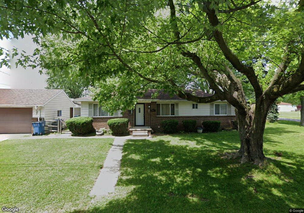
1954 Watts Ave Oregon, OH 43616
East Toledo NeighborhoodEstimated Value: $37,000 - $166,000
3
Beds
1
Bath
1,175
Sq Ft
$99/Sq Ft
Est. Value
About This Home
This home is located at 1954 Watts Ave, Oregon, OH 43616 and is currently estimated at $116,333, approximately $99 per square foot. 1954 Watts Ave is a home located in Lucas County with nearby schools including Kenmore Preparatory Academy dba Toledo Preparatory Academy and Kateri Catholic Academy.
Ownership History
Date
Name
Owned For
Owner Type
Purchase Details
Closed on
Dec 21, 2024
Sold by
Hamman Monica N
Bought by
Lambert Michael J
Current Estimated Value
Create a Home Valuation Report for This Property
The Home Valuation Report is an in-depth analysis detailing your home's value as well as a comparison with similar homes in the area
Home Values in the Area
Average Home Value in this Area
Purchase History
| Date | Buyer | Sale Price | Title Company |
|---|---|---|---|
| Lambert Michael J | $34,700 | None Listed On Document | |
| Lambert Michael J | $34,700 | None Listed On Document | |
| Lambert Michael J | $34,700 | None Listed On Document |
Source: Public Records
Tax History Compared to Growth
Tax History
| Year | Tax Paid | Tax Assessment Tax Assessment Total Assessment is a certain percentage of the fair market value that is determined by local assessors to be the total taxable value of land and additions on the property. | Land | Improvement |
|---|---|---|---|---|
| 2025 | -- | $41,615 | $6,475 | $35,140 |
| 2024 | $997 | $41,615 | $6,475 | $35,140 |
| 2023 | $2,044 | $36,435 | $5,565 | $30,870 |
| 2022 | $2,058 | $36,435 | $5,565 | $30,870 |
| 2021 | $2,074 | $36,435 | $5,565 | $30,870 |
| 2020 | $1,959 | $30,555 | $4,550 | $26,005 |
| 2019 | $1,904 | $30,555 | $4,550 | $26,005 |
| 2018 | $1,781 | $30,555 | $4,550 | $26,005 |
| 2017 | $1,698 | $25,480 | $4,760 | $20,720 |
| 2016 | $1,676 | $72,800 | $13,600 | $59,200 |
| 2015 | $1,666 | $72,800 | $13,600 | $59,200 |
| 2014 | $1,521 | $24,960 | $4,660 | $20,300 |
| 2013 | $1,521 | $24,960 | $4,660 | $20,300 |
Source: Public Records
Map
Nearby Homes
- 2011 Oakdale Ave
- 1462 Holmes St
- 1512 Vinal St
- 1413 Ironwood Ave
- 1531 Freedom St
- 1219 Crystal St
- 2249 Pickle Rd
- 1401 Liberty St
- 1703 Glenross Blvd
- 1230 Hirzel St
- 2432 Rochester Place
- 1813 Milroy St
- 932 Cresceus Rd
- 1024 Earl St
- 814 Stillman St
- 541 Oakdale Ave
- 2074 Price St
- 259 E Andrus Rd
- 1524 Remington St
- 937 Berry St
- 1948 Watts Ave
- 1944 Watts Ave
- 1947 Oakdale Ave
- 2001 Oakdale Ave
- 1537 Toul Ave
- 1938 Watts Ave
- 1941 Oakdale Ave
- 1532 Toul Ave
- 2005 Oakdale Ave
- 1937 Oakdale Ave
- 1934 Watts Ave
- 1533 Toul Ave
- 1937 Watts Ave
- 2007 Oakdale Ave
- 1931 Oakdale Ave
- 2101 Oakdale Ave
- 1928 Watts Ave
- 1529 Toul Ave
- 1539 Toul Ave
- 1522 Toul Ave