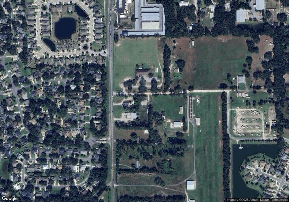
19544 Eustis Airport Rd Eustis, FL 32736
Estimated Value: $390,000 - $463,371
About This Home
This home is located at 19544 Eustis Airport Rd, Eustis, FL 32736 and is currently estimated at $432,093, approximately $262 per square foot. 19544 Eustis Airport Rd is a home located in Lake County with nearby schools including Seminole Springs Elementary School, Eustis Middle School, and Eustis High School.
Ownership History
We collect this data history from publicly available records. To have your information removed, we recommend requesting removal directly through your county’s website.
Purchase Details
Home Financials for this Owner
Home Financials are based on the most recent Mortgage that was taken out on this home.Home Values in the Area
Average Home Value in this Area
Purchase History
We collect this data history from publicly available records. To have your information removed, we recommend requesting removal directly through your county’s website.
| Date | Buyer | Sale Price | Title Company |
|---|---|---|---|
| $185,000 | -- |
Mortgage History
We collect this data history from publicly available records. To have your information removed, we recommend requesting removal directly through your county’s website.
| Date | Status | Borrower | Loan Amount |
|---|---|---|---|
| Open | $188,700 |
Tax History
We collect this data history from publicly available records. To have your information removed, we recommend requesting removal directly through your county’s website.
| Year | Tax Paid | Tax Assessment Tax Assessment Total Assessment is a certain percentage of the fair market value that is determined by local assessors to be the total taxable value of land and additions on the property. | Land | Improvement |
|---|---|---|---|---|
| 2026 | $3,053 | $219,850 | -- | -- |
| 2025 | $2,761 | $213,860 | -- | -- |
| 2024 | $2,761 | $213,860 | -- | -- |
| 2023 | $2,761 | $201,600 | $0 | $0 |
| 2022 | $2,578 | $195,730 | $0 | $0 |
| 2021 | $2,487 | $190,030 | $0 | $0 |
| 2020 | $2,601 | $187,407 | $0 | $0 |
| 2019 | $2,578 | $183,194 | $0 | $0 |
| 2018 | $2,463 | $179,779 | $0 | $0 |
| 2017 | $2,384 | $176,082 | $0 | $0 |
| 2016 | $2,441 | $176,902 | $0 | $0 |
| 2015 | $2,498 | $175,673 | $0 | $0 |
| 2014 | $2,508 | $174,718 | $0 | $0 |
Map
- 19512 Spring Oak Dr
- 19337 Spring Oak Dr
- 4062 Brookshire Cir
- 3964 Mayhill Loop
- 2003 Bayside Ave
- 19103 Park Place Blvd
- 8045 Waterbury Way
- 1689 Strathmore Cir
- 8923 Bridgeport Bay Cir
- 20024 State Road 44
- 20036 State Road 44
- 1765 Strathmore Cir
- 8061 Waterbury Way
- 242 Blue Water St
- 1342 Kings Crown St
- 1350 Kings Crown St
- 1354 Kings Crown St
- 1358 Kings Crown St
- 34449 Parkview Ave
- 8872 Bridgeport Bay Cir
- 19144 State Road 44
- 19618 Eustis Airport Rd
- 19433 Spring Oak Dr
- 19429 Spring Oak Dr
- 19437 Spring Oak Dr
- 19441 Spring Oak Dr
- 19425 Spring Oak Dr
- 19122 State Road 44
- 19445 Spring Oak Dr
- 19633 Eustis Airport Rd
- 19451 Spring Oak Dr
- 19417 Spring Oak Dr
- 4000 Brookshire Cir
- 19432 Spring Oak Dr
- 19430 Spring Oak Dr
- 19436 Spring Oak Dr
- 19440 Spring Oak Dr
- 4002 Brookshire Cir
- 19444 Spring Oak Dr
- 19411 Spring Oak Dr
Ask me questions while you tour the home.