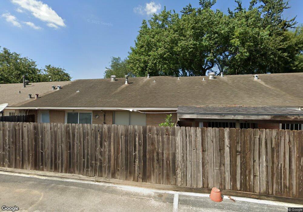
1955 Campbell Rd Unit 1955 Houston, TX 77080
Spring Shadows NeighborhoodEstimated Value: $119,404 - $140,000
2
Beds
1
Bath
918
Sq Ft
$144/Sq Ft
Est. Value
About This Home
This home is located at 1955 Campbell Rd Unit 1955, Houston, TX 77080 and is currently estimated at $132,351, approximately $144 per square foot. 1955 Campbell Rd Unit 1955 is a home located in Harris County with nearby schools including Pine Shadows Elementary School, Spring Woods Middle School, and Spring Woods High School.
Ownership History
Date
Name
Owned For
Owner Type
Purchase Details
Closed on
Feb 15, 2006
Sold by
Giron John Fernando
Bought by
Duong Thanh Thie
Current Estimated Value
Home Financials for this Owner
Home Financials are based on the most recent Mortgage that was taken out on this home.
Original Mortgage
$37,600
Outstanding Balance
$21,042
Interest Rate
6.1%
Mortgage Type
Stand Alone First
Estimated Equity
$111,309
Purchase Details
Closed on
Dec 4, 1995
Sold by
Murray Walter S
Bought by
Giron John Fernando
Home Financials for this Owner
Home Financials are based on the most recent Mortgage that was taken out on this home.
Original Mortgage
$13,500
Interest Rate
7.4%
Mortgage Type
Seller Take Back
Create a Home Valuation Report for This Property
The Home Valuation Report is an in-depth analysis detailing your home's value as well as a comparison with similar homes in the area
Home Values in the Area
Average Home Value in this Area
Purchase History
| Date | Buyer | Sale Price | Title Company |
|---|---|---|---|
| Duong Thanh Thie | -- | Allegiance Title | |
| Giron John Fernando | -- | Texas American Title Company |
Source: Public Records
Mortgage History
| Date | Status | Borrower | Loan Amount |
|---|---|---|---|
| Open | Duong Thanh Thie | $37,600 | |
| Previous Owner | Giron John Fernando | $13,500 |
Source: Public Records
Tax History Compared to Growth
Tax History
| Year | Tax Paid | Tax Assessment Tax Assessment Total Assessment is a certain percentage of the fair market value that is determined by local assessors to be the total taxable value of land and additions on the property. | Land | Improvement |
|---|---|---|---|---|
| 2025 | $1,174 | $109,033 | $20,716 | $88,317 |
| 2024 | $1,174 | $109,033 | $20,716 | $88,317 |
| 2023 | $1,174 | $100,779 | $19,148 | $81,631 |
| 2022 | $2,457 | $100,779 | $19,148 | $81,631 |
| 2021 | $1,876 | $76,835 | $14,599 | $62,236 |
| 2020 | $1,836 | $70,455 | $13,386 | $57,069 |
| 2019 | $1,915 | $70,455 | $13,386 | $57,069 |
| 2018 | $746 | $61,000 | $11,590 | $49,410 |
| 2017 | $1,596 | $61,000 | $11,590 | $49,410 |
| 2016 | $1,345 | $51,412 | $9,768 | $41,644 |
| 2015 | $1,231 | $46,266 | $8,791 | $37,475 |
| 2014 | $1,231 | $46,266 | $8,791 | $37,475 |
Source: Public Records
Map
Nearby Homes
- 1965 Campbell Rd Unit 1965
- 9436 Neuens Rd Unit 9436
- 9458 Neuens Rd Unit 9458
- 1902 Stillwood Dr
- 2009 Sedgie Dr
- 9551 Neuens Rd Unit B
- 9577 Neuens Rd Unit F
- 1913 Hoskins Dr Unit K
- 1913 Hoskins Dr Unit H
- 1913 Hoskins Dr Unit G
- 1913 Hoskins Dr Unit F
- 2131 Campbell Rd
- 9426 Campbell Rd Unit B
- 9614 Hammerly Blvd
- 9419 Campbell Rd
- 2125 Hoskins Dr
- 1776 Plan B at Hoskins Manor
- 1755 Plan A at Hoskins Manor
- 2121 Hoskins Dr
- 9535 Vogue Ln
- 1941 Campbell Rd Unit 1941
- 1939 Campbell Rd Unit 1939
- 1937 Campbell Rd Unit 1937
- 1959 Campbell Rd Unit 1959
- 1935 Campbell Rd Unit 1935
- 1963 Campbell Rd Unit 1963
- 1957 Campbell Rd Unit 1957
- 1933 Campbell Rd Unit 1933
- 1977 Campbell Rd Unit 1977
- 1967 Campbell Rd Unit 1967
- 1931 Campbell Rd Unit 1931
- 1971 Campbell Rd Unit 1971
- 9470 Neuens Rd Unit 9470
- 9454 Neuens Rd Unit 9454
- 9464 Neuens Rd Unit 9464
- 1973 Campbell Rd Unit 1973
- 9476 Neuens Rd Unit 9476
- 9462 Neuens Rd Unit 9462
- 9452 Neuens Rd Unit 9452
- 1953 Campbell Rd Unit 1953