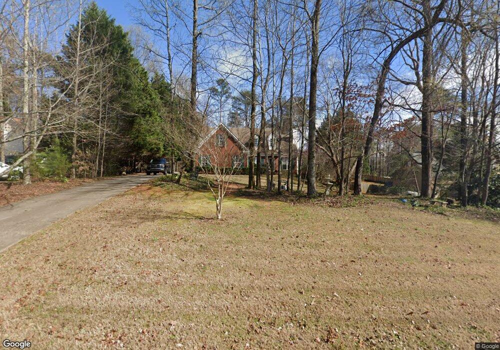
1955 Lanier Heights Dr Cumming, GA 30041
Estimated Value: $446,698 - $496,000
3
Beds
3
Baths
1,829
Sq Ft
$254/Sq Ft
Est. Value
About This Home
This home is located at 1955 Lanier Heights Dr, Cumming, GA 30041 and is currently estimated at $463,925, approximately $253 per square foot. 1955 Lanier Heights Dr is a home located in Forsyth County with nearby schools including Cumming Elementary School, Otwell Middle School, and Forsyth Central High School.
Ownership History
Date
Name
Owned For
Owner Type
Purchase Details
Closed on
Apr 13, 2007
Sold by
First American Asset Closing S
Bought by
Woodcock Lois E
Current Estimated Value
Home Financials for this Owner
Home Financials are based on the most recent Mortgage that was taken out on this home.
Original Mortgage
$160,000
Outstanding Balance
$99,892
Interest Rate
6.75%
Mortgage Type
New Conventional
Estimated Equity
$364,033
Purchase Details
Closed on
Jan 2, 2007
Sold by
Woodcock Frank D and Woodcock Karen S
Bought by
Citimortgage
Purchase Details
Closed on
May 31, 2000
Sold by
Colonial Mtg Co
Bought by
Todd David R
Purchase Details
Closed on
Nov 30, 1998
Sold by
Mageel/Magee Builders Inc
Bought by
Todd David R
Home Financials for this Owner
Home Financials are based on the most recent Mortgage that was taken out on this home.
Original Mortgage
$126,500
Interest Rate
6.77%
Mortgage Type
New Conventional
Create a Home Valuation Report for This Property
The Home Valuation Report is an in-depth analysis detailing your home's value as well as a comparison with similar homes in the area
Home Values in the Area
Average Home Value in this Area
Purchase History
| Date | Buyer | Sale Price | Title Company |
|---|---|---|---|
| Woodcock Lois E | $200,000 | -- | |
| Citimortgage | $179,900 | -- | |
| Todd David R | -- | -- | |
| Todd David R | $152,000 | -- |
Source: Public Records
Mortgage History
| Date | Status | Borrower | Loan Amount |
|---|---|---|---|
| Open | Woodcock Lois E | $160,000 | |
| Previous Owner | Todd David R | $126,500 |
Source: Public Records
Tax History Compared to Growth
Tax History
| Year | Tax Paid | Tax Assessment Tax Assessment Total Assessment is a certain percentage of the fair market value that is determined by local assessors to be the total taxable value of land and additions on the property. | Land | Improvement |
|---|---|---|---|---|
| 2025 | $4,412 | $183,228 | $58,000 | $125,228 |
| 2024 | $4,412 | $179,900 | $54,000 | $125,900 |
| 2023 | $4,133 | $167,924 | $40,000 | $127,924 |
| 2022 | $3,694 | $95,604 | $24,000 | $71,604 |
| 2021 | $2,640 | $95,604 | $24,000 | $71,604 |
| 2020 | $2,405 | $87,104 | $24,000 | $63,104 |
| 2019 | $2,432 | $87,960 | $20,000 | $67,960 |
| 2018 | $2,098 | $75,856 | $20,000 | $55,856 |
| 2017 | $1,982 | $71,400 | $20,000 | $51,400 |
| 2016 | $1,871 | $67,400 | $16,000 | $51,400 |
| 2015 | $1,818 | $65,400 | $14,000 | $51,400 |
| 2014 | $1,498 | $56,580 | $0 | $0 |
Source: Public Records
Map
Nearby Homes
- 1965 Tiner Ct
- 2320 Pilgrim Mill Way
- 1354 Pilgrim Lake Dr
- 5660 Mercedes Dr
- 5560 Pilgrim Point Extension
- 1621 Indian Way
- 5425 Belvedere St
- 1609 Indian Way
- 1628 Indian Way
- 5380 Renault St
- 2220 Peachtree Rd
- 1213 Rubble Rd
- 1335 Elderwood Way
- 0 Mercedes Dr Unit 7660832
- 2640 Mayfair Dr
- 2385 Mayfair Dr
- 1930 Pilgrim Mill Rd
- 1965 Lanier Heights Dr
- 1945 Lanier Heights Dr
- 1985 Lanier Heights Dr
- 1935 Lanier Heights Dr
- 1960 Pilgrim Mill Cir
- 1970 Lanier Heights Dr
- 1950 Pilgrim Mill Cir
- 1950 Lanier Heights Dr
- 1960 Lanier Heights Dr
- 0 Lanier Heights Dr Unit 9035569
- 0 Lanier Heights Dr Unit 8838709
- 0 Lanier Heights Dr Unit 8914766
- 0 Lanier Heights Dr Unit 8940167
- 0 Lanier Heights Dr Unit 3121753
- 0 Lanier Heights Dr Unit 7113584
- 0 Lanier Heights Dr Unit 7246093
- 0 Lanier Heights Dr Unit 7472795
- 0 Lanier Heights Dr Unit 8146470
- 0 Lanier Heights Dr Unit 8214038
- 0 Lanier Heights Dr Unit 74