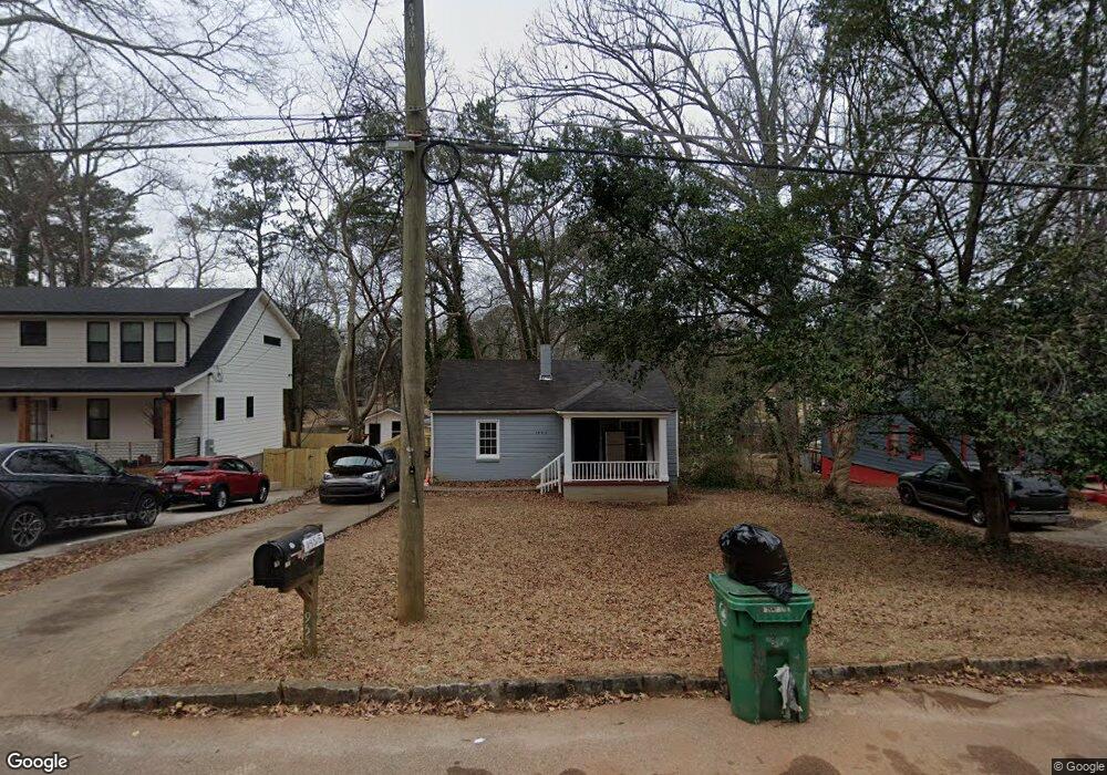
1955 Mcafee Place Decatur, GA 30032
East Lake NeighborhoodEstimated Value: $223,000 - $284,000
2
Beds
1
Bath
848
Sq Ft
$292/Sq Ft
Est. Value
About This Home
This home is located at 1955 Mcafee Place, Decatur, GA 30032 and is currently estimated at $247,439, approximately $291 per square foot. 1955 Mcafee Place is a home located in DeKalb County with nearby schools including McNair Middle School, McNair High School, and Charles Drew Charter School.
Ownership History
Date
Name
Owned For
Owner Type
Purchase Details
Closed on
Jul 14, 1999
Sold by
Sweat Lisa
Bought by
Brooks Michael J and Brooks Henretta H
Current Estimated Value
Home Financials for this Owner
Home Financials are based on the most recent Mortgage that was taken out on this home.
Original Mortgage
$48,600
Outstanding Balance
$13,463
Interest Rate
7.66%
Mortgage Type
New Conventional
Estimated Equity
$233,976
Purchase Details
Closed on
Mar 19, 1998
Sold by
Cassidy Eugene F
Bought by
Sweat Lisa
Create a Home Valuation Report for This Property
The Home Valuation Report is an in-depth analysis detailing your home's value as well as a comparison with similar homes in the area
Home Values in the Area
Average Home Value in this Area
Purchase History
| Date | Buyer | Sale Price | Title Company |
|---|---|---|---|
| Brooks Michael J | $54,000 | -- | |
| Sweat Lisa | $25,000 | -- |
Source: Public Records
Mortgage History
| Date | Status | Borrower | Loan Amount |
|---|---|---|---|
| Open | Brooks Michael J | $48,600 |
Source: Public Records
Tax History Compared to Growth
Tax History
| Year | Tax Paid | Tax Assessment Tax Assessment Total Assessment is a certain percentage of the fair market value that is determined by local assessors to be the total taxable value of land and additions on the property. | Land | Improvement |
|---|---|---|---|---|
| 2025 | $4,543 | $94,240 | $63,600 | $30,640 |
| 2024 | $4,030 | $82,560 | $63,600 | $18,960 |
| 2023 | $4,030 | $86,160 | $63,600 | $22,560 |
| 2022 | $3,083 | $63,120 | $32,000 | $31,120 |
| 2021 | $3,347 | $69,120 | $32,000 | $37,120 |
| 2020 | $2,841 | $57,600 | $32,000 | $25,600 |
| 2019 | $2,353 | $46,480 | $3,080 | $43,400 |
| 2018 | $1,485 | $37,080 | $3,080 | $34,000 |
| 2017 | $1,691 | $30,240 | $3,080 | $27,160 |
| 2016 | $1,469 | $26,160 | $3,080 | $23,080 |
| 2014 | $842 | $11,680 | $1,920 | $9,760 |
Source: Public Records
Map
Nearby Homes
- 1942 E Starmount Way
- 2203 Hillcrest Ave
- 2147 Mcafee Rd
- 2177 Mcafee Rd
- 599 Daniel Ave
- 634 Daniel Ave
- 701 Daniel Ave
- 2164 Rockhaven Cir
- 2009 Delphine Dr
- 1893 Burning Tree Dr
- 673 Quillian Ave
- 2049 Mcafee Rd
- 2093 Garden Cir
- 2076 Garden Cir
- 436 Carter Ave SE
- 678 Quillian Ave
- 2013 Marco Dr
- 1602 Dancing Fox Rd
- 1949 Mcafee Place
- 1965 Mcafee Place
- 1945 Mcafee Place
- 1965 Mcafee Place
- 1956 E Starmount Way
- 1948 E Starmount Way
- 1971 Mcafee Place
- 1941 Mcafee Place
- 1964 E Starmount Way
- 1970 E Starmount Way
- 1954 Mcafee Place
- 1958 Mcafee Place
- 1975 Mcafee Place
- 1948 Mcafee Place
- 1964 Mcafee Place
- 1936 E Starmount Way
- 0 Mcafee Place Unit 8637081
- 0 Mcafee Place Unit 8624542
- 0 Mcafee Place Unit 8343470
- 0 Mcafee Place Unit 8014120