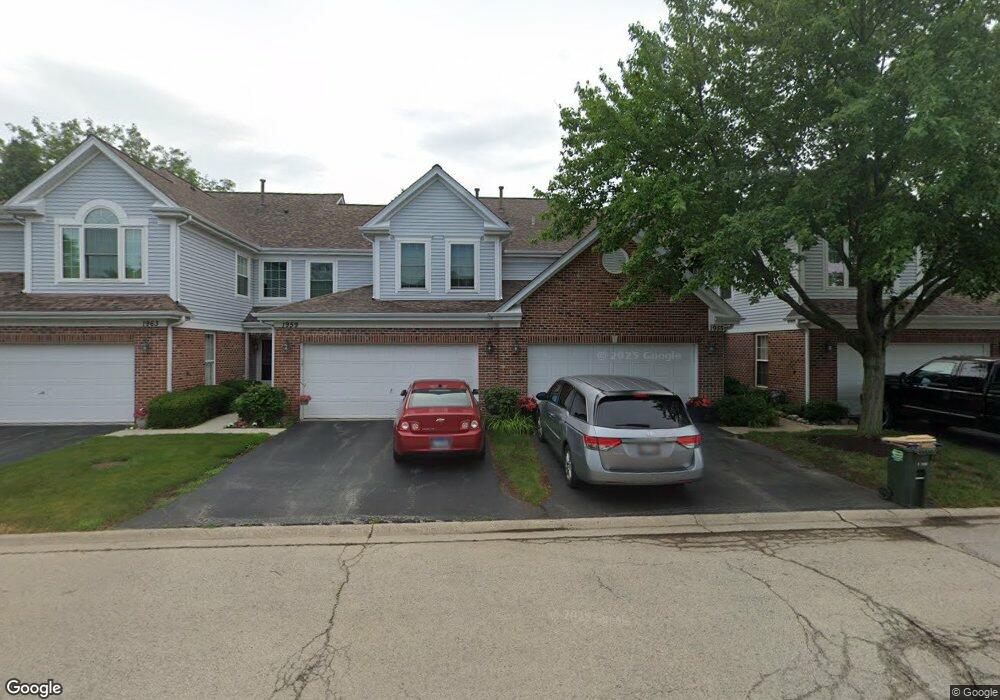
1955 N Silver Lake Rd Unit 34 Arlington Heights, IL 60004
Estimated Value: $355,963 - $390,000
2
Beds
--
Bath
7,864
Sq Ft
$47/Sq Ft
Est. Value
About This Home
This home is located at 1955 N Silver Lake Rd Unit 34, Arlington Heights, IL 60004 and is currently estimated at $372,241, approximately $47 per square foot. 1955 N Silver Lake Rd Unit 34 is a home located in Cook County with nearby schools including Dwight D Eisenhower Elementary School, Anne Sullivan Elementary School, and Betsy Ross Elementary School.
Ownership History
Date
Name
Owned For
Owner Type
Purchase Details
Closed on
Sep 2, 2003
Sold by
Alegorz Ahmet
Bought by
Cooley Jared D
Current Estimated Value
Home Financials for this Owner
Home Financials are based on the most recent Mortgage that was taken out on this home.
Original Mortgage
$225,000
Interest Rate
6.44%
Mortgage Type
Unknown
Purchase Details
Closed on
Nov 13, 2001
Sold by
Pfeifer John A and Pfeifer Jennifer Avery
Bought by
Alegoz Ahmet
Home Financials for this Owner
Home Financials are based on the most recent Mortgage that was taken out on this home.
Original Mortgage
$168,000
Interest Rate
7.07%
Create a Home Valuation Report for This Property
The Home Valuation Report is an in-depth analysis detailing your home's value as well as a comparison with similar homes in the area
Home Values in the Area
Average Home Value in this Area
Purchase History
| Date | Buyer | Sale Price | Title Company |
|---|---|---|---|
| Cooley Jared D | -- | Multiple | |
| Alegoz Ahmet | $226,000 | Commonwealth Land Title Ins |
Source: Public Records
Mortgage History
| Date | Status | Borrower | Loan Amount |
|---|---|---|---|
| Closed | Cooley Jared D | $225,000 | |
| Previous Owner | Alegoz Ahmet | $168,000 |
Source: Public Records
Tax History Compared to Growth
Tax History
| Year | Tax Paid | Tax Assessment Tax Assessment Total Assessment is a certain percentage of the fair market value that is determined by local assessors to be the total taxable value of land and additions on the property. | Land | Improvement |
|---|---|---|---|---|
| 2024 | $5,998 | $25,260 | $6,556 | $18,704 |
| 2023 | $5,700 | $25,260 | $6,556 | $18,704 |
| 2022 | $5,700 | $25,260 | $6,556 | $18,704 |
| 2021 | $5,230 | $20,535 | $682 | $19,853 |
| 2020 | $5,158 | $20,535 | $682 | $19,853 |
| 2019 | $5,167 | $22,967 | $682 | $22,285 |
| 2018 | $4,401 | $18,549 | $546 | $18,003 |
| 2017 | $4,372 | $18,549 | $546 | $18,003 |
| 2016 | $4,308 | $18,549 | $546 | $18,003 |
| 2015 | $4,238 | $16,883 | $3,414 | $13,469 |
| 2014 | $4,209 | $16,883 | $3,414 | $13,469 |
| 2013 | $4,097 | $16,883 | $3,414 | $13,469 |
Source: Public Records
Map
Nearby Homes
- 1956 N Silver Lake Rd
- 1961 N Coldspring Rd Unit 63
- 307 Anne Ct
- 1912 N Coldspring Rd Unit 96
- 1949 N Charter Point Dr Unit 1949
- 1905 N Stillwater Rd Unit 186
- 201 Viola Ln
- 11 W Palatine Rd
- 802 Andover Ct
- 105 W Ridge Ave
- 1008 W Wildwood Dr
- 13 W Kenilworth Ave
- 890 N Elmhurst Rd
- 2611 E Radford Ct
- 1044 Creekside Ct Unit 2B
- 9 Kenneth Ave
- 412 Cherry Creek Ln
- 1500 Harbour Dr Unit 2K
- 1500 Harbour Dr Unit 1D
- 2143 E Peachtree Ln
- 1959 N Silver Lake Rd Unit 33
- 1951 N Silver Lake Rd Unit 35
- 1971 N Silver Lake Rd Unit 26
- 1963 N Silver Lake Rd Unit 32
- 1947 N Silver Lake Rd Unit 36
- 1947 N Silver Lake Rd Unit 1947
- 1967 N Silver Lake Rd Unit 31
- 1964 N Silver Lake Rd Unit 85
- 1960 N Silver Lake Rd Unit 84
- 1968 N Silver Lake Rd Unit 86
- 1952 N Silver Lake Rd Unit 82
- 1943 N Silver Lake Rd Unit 41
- 1948 N Silver Lake Rd Unit 81
- 1939 N Silver Lake Rd Unit 42
- 1975 N Silver Lake Rd Unit 25
- 1979 N Silver Lake Rd Unit 24
- 1972 N Silver Lake Rd Unit 91
- 1935 N Silver Lake Rd Unit 43
- 1983 N Silver Lake Rd Unit 23
- 1976 N Silver Lake Rd Unit 92