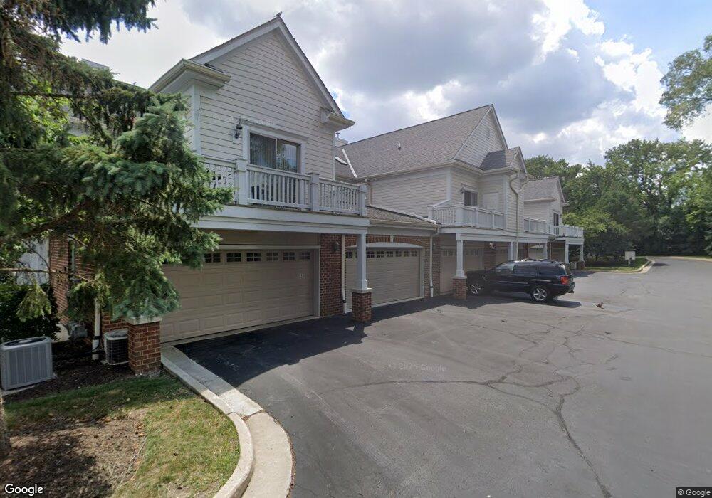
1955 Norhardt Dr Unit 1955 Brookfield, WI 53045
Estimated Value: $402,061 - $443,000
2
Beds
2
Baths
1,792
Sq Ft
$235/Sq Ft
Est. Value
About This Home
This home is located at 1955 Norhardt Dr Unit 1955, Brookfield, WI 53045 and is currently estimated at $421,265, approximately $235 per square foot. 1955 Norhardt Dr Unit 1955 is a home located in Waukesha County with nearby schools including Brookfield Elementary School, Wisconsin Hills Middle School, and Brookfield Central High School.
Ownership History
Date
Name
Owned For
Owner Type
Purchase Details
Closed on
Apr 26, 2002
Sold by
Norhardt Condominiums Llc
Bought by
Liam Gill Properties Llc
Current Estimated Value
Home Financials for this Owner
Home Financials are based on the most recent Mortgage that was taken out on this home.
Original Mortgage
$212,506
Outstanding Balance
$91,687
Interest Rate
7.24%
Estimated Equity
$329,578
Create a Home Valuation Report for This Property
The Home Valuation Report is an in-depth analysis detailing your home's value as well as a comparison with similar homes in the area
Home Values in the Area
Average Home Value in this Area
Purchase History
| Date | Buyer | Sale Price | Title Company |
|---|---|---|---|
| Liam Gill Properties Llc | $261,800 | -- |
Source: Public Records
Mortgage History
| Date | Status | Borrower | Loan Amount |
|---|---|---|---|
| Open | Liam Gill Properties Llc | $212,506 |
Source: Public Records
Tax History Compared to Growth
Tax History
| Year | Tax Paid | Tax Assessment Tax Assessment Total Assessment is a certain percentage of the fair market value that is determined by local assessors to be the total taxable value of land and additions on the property. | Land | Improvement |
|---|---|---|---|---|
| 2024 | $4,116 | $357,600 | $100,000 | $257,600 |
| 2023 | $4,137 | $357,600 | $100,000 | $257,600 |
| 2022 | $4,371 | $296,100 | $100,000 | $196,100 |
| 2021 | $4,643 | $296,100 | $100,000 | $196,100 |
| 2020 | $4,785 | $296,100 | $100,000 | $196,100 |
| 2019 | $4,616 | $296,100 | $100,000 | $196,100 |
| 2018 | $4,676 | $292,600 | $85,000 | $207,600 |
| 2017 | $4,640 | $292,600 | $85,000 | $207,600 |
| 2016 | $4,710 | $292,600 | $85,000 | $207,600 |
| 2015 | $4,670 | $292,600 | $85,000 | $207,600 |
| 2014 | $4,847 | $292,600 | $85,000 | $207,600 |
| 2013 | $4,847 | $292,600 | $85,000 | $207,600 |
Source: Public Records
Map
Nearby Homes
- 1980 Lone Oak Cir E
- 1940 Elm Terrace Cir
- 17835 Gebhardt Rd
- 17360 Patricia Ln
- 2550 Coach House Dr
- 16570 W North Ave
- 2660 N Calhoun Rd
- 18660 Bonnie Ln
- 1485 N Brookfield Rd
- 1280 Spring Dr
- 2891 Nassau Dr Unit A2891
- 17725 Nassau Dr Unit 17725
- 1820 Melody Ln
- 2975 River Birch Dr Unit C
- 920 Oakwood Ln Unit B
- 1035 Oakwood Ln
- 845 Lake Rd Unit D
- 19250 Benington Dr
- 17020 Lake Rd Unit A
- 18840 N Hills Dr
- 1953 Norhardt Dr
- 1951 Norhardt Dr
- 1925 Norhardt Dr Unit 1925
- 1945 Norhardt Dr Unit 1945
- 1923 Norhardt Dr
- 1943 Norhardt Dr
- 1921 Norhardt Dr Unit 1921
- 1915 Norhardt Dr Unit 1915
- 1913 Norhardt Dr
- 1911 Norhardt Dr Unit 1911
- 1753 Norhardt Dr
- 1775 Norhardt Dr Unit 1775
- 1771 Norhardt Dr Unit 1771
- 1745 Norhardt Dr Unit 1745
- 1751 Norhardt Dr Unit 1751
- 1815 Norhardt Dr
- 1755 Norhardt Dr Unit 1755
- 1773 Norhardt Dr Unit 1773
- 1781 Norhardt Dr
- 1815 Norhardt Dr Unit Bldg 3A