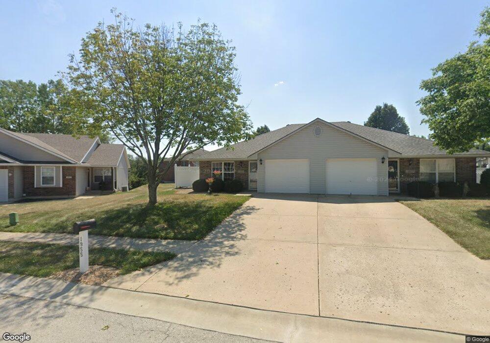
1955 S Powahatan Ct Independence, MO 64057
Bridger NeighborhoodEstimated Value: $252,000 - $332,000
4
Beds
2
Baths
1,960
Sq Ft
$158/Sq Ft
Est. Value
About This Home
This home is located at 1955 S Powahatan Ct, Independence, MO 64057 and is currently estimated at $308,882, approximately $157 per square foot. 1955 S Powahatan Ct is a home with nearby schools including LITTLE BLUE ELEM., Bridger Middle School, and Bingham Middle School.
Ownership History
Date
Name
Owned For
Owner Type
Purchase Details
Closed on
Mar 11, 2003
Sold by
Bh Independence Llc
Bought by
Cisler William H
Current Estimated Value
Home Financials for this Owner
Home Financials are based on the most recent Mortgage that was taken out on this home.
Original Mortgage
$134,000
Interest Rate
5.86%
Mortgage Type
Construction
Create a Home Valuation Report for This Property
The Home Valuation Report is an in-depth analysis detailing your home's value as well as a comparison with similar homes in the area
Home Values in the Area
Average Home Value in this Area
Purchase History
| Date | Buyer | Sale Price | Title Company |
|---|---|---|---|
| Cisler William H | -- | Ati Title Company |
Source: Public Records
Mortgage History
| Date | Status | Borrower | Loan Amount |
|---|---|---|---|
| Closed | Cisler William H | $134,000 |
Source: Public Records
Tax History Compared to Growth
Tax History
| Year | Tax Paid | Tax Assessment Tax Assessment Total Assessment is a certain percentage of the fair market value that is determined by local assessors to be the total taxable value of land and additions on the property. | Land | Improvement |
|---|---|---|---|---|
| 2025 | $2,743 | $43,972 | $9,097 | $34,875 |
| 2024 | $2,743 | $39,596 | $8,081 | $31,515 |
| 2023 | $2,681 | $39,597 | $6,242 | $33,355 |
| 2022 | $2,456 | $33,250 | $2,838 | $30,412 |
| 2021 | $2,455 | $33,250 | $2,838 | $30,412 |
| 2020 | $2,212 | $29,110 | $2,838 | $26,272 |
| 2019 | $2,177 | $29,110 | $2,838 | $26,272 |
| 2018 | $1,984 | $25,335 | $2,470 | $22,865 |
| 2017 | $1,984 | $25,335 | $2,470 | $22,865 |
| 2016 | $1,954 | $24,700 | $7,220 | $17,480 |
| 2014 | $1,911 | $24,700 | $7,220 | $17,480 |
Source: Public Records
Map
Nearby Homes
- 20100 Missouri 78
- 19105 E 19th Terrace Ct S
- 1808 S Sioux Ct
- 2316 S Ponca Ave
- 1910 S Jackson Dr
- 2423 S Ponca Ave
- 2431 S Ponca Ave
- 18710 E Truman Rd
- 20100 E 78 Hwy
- 17904 E Whitney Rd S
- 913 S Main Rd
- 18205 E 24th Terrace S
- 2320 S Old Mill Ave
- 18120 E 25th Terrace S
- 18608 E 26th Terrace S
- 17824 Greentree Ave
- 649 S Kisner Dr
- 711 S Kisner Ct
- 641 S Kisner Dr
- 18800 E 28th Terrace S
- 1951 S Powahatan Ct
- 1959 S Powahatan Ct
- 1960 S Powahatan Ct
- 1956 S Powahatan Ct
- 1963 S Powahatan Ct
- 1947 S Powahatan Ct
- 1952 S Powahatan Ct
- 1943 S Powahatan Ct
- 1964 S Powahatan Ct
- 1948 S Powahatan Ct
- 1967 S Powahatan Ct
- 1944 S Powahatan Ct
- 1919 S Arrowhead Ct
- 1913 S Arrowhead Ct
- 1921 S Powahatan Ct
- 1923 S Arrowhead Ct
- 1909 S Arrowhead Ct
- 1975 S Powahatan Ct
- 1927 S Arrowhead Ct
- 1971 S Powahatan Ct