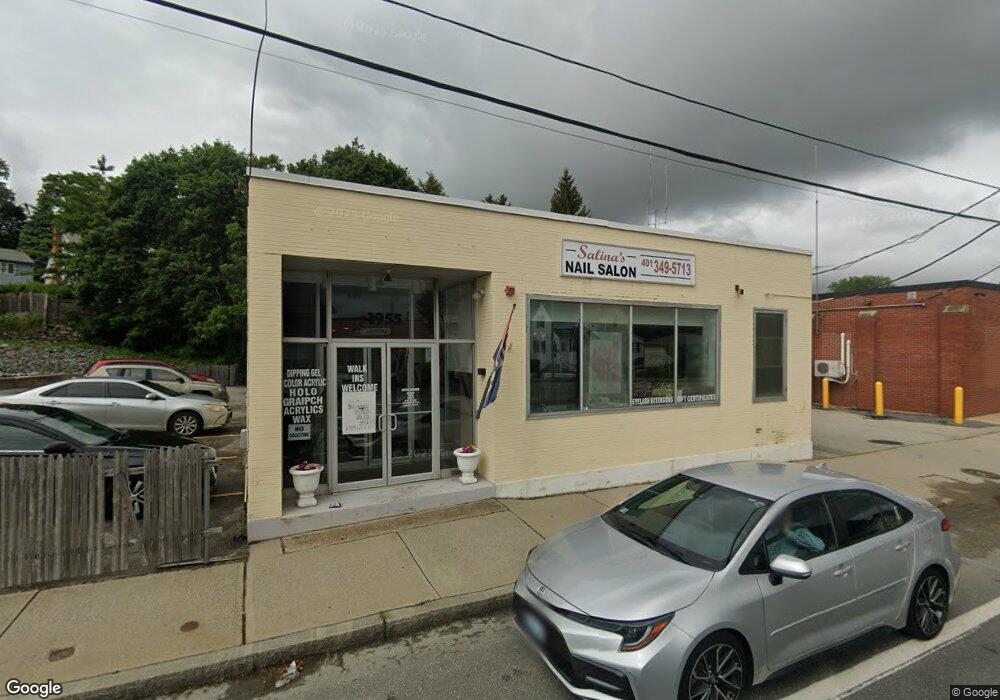
1955 Smith St North Providence, RI 02911
Greystone-Centredale NeighborhoodEstimated Value: $241,124
--
Bed
--
Bath
1,510
Sq Ft
$160/Sq Ft
Est. Value
About This Home
This home is located at 1955 Smith St, North Providence, RI 02911 and is currently estimated at $241,124, approximately $159 per square foot. 1955 Smith St is a home located in Providence County with nearby schools including North Providence High School, St. Thomas Regional School, and St. Augustine School.
Ownership History
Date
Name
Owned For
Owner Type
Purchase Details
Closed on
Jun 22, 2012
Sold by
Centredale Invst Co
Bought by
Oak Paul D and Oak Heng S
Current Estimated Value
Home Financials for this Owner
Home Financials are based on the most recent Mortgage that was taken out on this home.
Original Mortgage
$56,000
Outstanding Balance
$38,690
Interest Rate
3.84%
Mortgage Type
Commercial
Estimated Equity
$202,434
Create a Home Valuation Report for This Property
The Home Valuation Report is an in-depth analysis detailing your home's value as well as a comparison with similar homes in the area
Home Values in the Area
Average Home Value in this Area
Purchase History
| Date | Buyer | Sale Price | Title Company |
|---|---|---|---|
| Oak Paul D | $86,000 | -- |
Source: Public Records
Mortgage History
| Date | Status | Borrower | Loan Amount |
|---|---|---|---|
| Open | Oak Paul D | $56,000 |
Source: Public Records
Tax History Compared to Growth
Tax History
| Year | Tax Paid | Tax Assessment Tax Assessment Total Assessment is a certain percentage of the fair market value that is determined by local assessors to be the total taxable value of land and additions on the property. | Land | Improvement |
|---|---|---|---|---|
| 2025 | $4,275 | $175,800 | $82,100 | $93,700 |
| 2024 | $4,105 | $175,800 | $82,100 | $93,700 |
| 2023 | $4,105 | $175,800 | $82,100 | $93,700 |
| 2022 | $4,211 | $142,500 | $56,500 | $86,000 |
| 2021 | $4,211 | $142,500 | $56,500 | $86,000 |
| 2020 | $4,211 | $142,500 | $56,500 | $86,000 |
| 2017 | $4,643 | $141,200 | $55,200 | $86,000 |
| 2016 | $5,157 | $148,700 | $53,500 | $95,200 |
| 2015 | $5,157 | $148,700 | $53,500 | $95,200 |
| 2014 | $5,157 | $148,700 | $53,500 | $95,200 |
Source: Public Records
Map
Nearby Homes
- 16 Grover St
- 95 Angell Ave
- 40 Grover St
- 2160 Mineral Spring Ave Unit Springdale B1 U1
- 27 Ferncliff Ave
- 1884 Smith St
- 397 George Waterman Rd
- 1854 Smith St
- 5 Gano Ave
- 3 Harris Ave
- 4 Hatherly St
- 0 Woodlawn Ave Unit 1380751
- 494 Woonasquatucket Ave Unit 209
- 494 Woonasquatucket Ave Unit 107
- 494 Woonasquatucket Ave Unit 111
- 494 Woonasquatucket Ave Unit 413
- 494 Woonasquatucket Ave Unit 210
- 19 Sage Ct
- 2008 Mineral Spring Ave Unit 3
- 31 Swan St
- 1961 Smith St
- 1963 Smith St
- 106 Angell Ave
- 110 Angell Ave
- 1954 Smith St
- 1965 Smith St Unit 1967
- 1950 Smith St
- 104 Angell Ave
- 1958 Smith St
- 1960 Smith St
- 100 Angell Ave
- 1969 Smith St
- 1944 Smith St
- 1971 Smith St
- 1971 Smith St Unit 1A
- 1971 Smith St Unit 2A
- 1971 Smith St Unit 2B
- 2 George St
- 1942 Smith St
- 9 George St