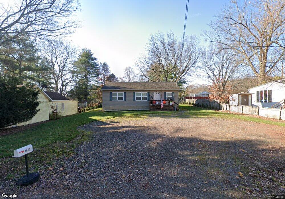
1955 State Route 29 Hwy Hunlock Creek, PA 18621
Estimated Value: $193,710 - $246,000
--
Bed
--
Bath
1,545
Sq Ft
$146/Sq Ft
Est. Value
About This Home
This home is located at 1955 State Route 29 Hwy, Hunlock Creek, PA 18621 and is currently estimated at $225,678, approximately $146 per square foot. 1955 State Route 29 Hwy is a home.
Ownership History
Date
Name
Owned For
Owner Type
Purchase Details
Closed on
Feb 7, 2014
Sold by
Flap Jack Properties Llc
Bought by
Nogle Michael J
Current Estimated Value
Home Financials for this Owner
Home Financials are based on the most recent Mortgage that was taken out on this home.
Original Mortgage
$110,204
Outstanding Balance
$83,697
Interest Rate
4.47%
Mortgage Type
New Conventional
Estimated Equity
$141,981
Purchase Details
Closed on
Sep 6, 2007
Sold by
Tax Claim Bureau Of The Cnty Of Luzerne
Bought by
Flap Jack Properties Llc
Create a Home Valuation Report for This Property
The Home Valuation Report is an in-depth analysis detailing your home's value as well as a comparison with similar homes in the area
Home Values in the Area
Average Home Value in this Area
Purchase History
| Date | Buyer | Sale Price | Title Company |
|---|---|---|---|
| Nogle Michael J | $108,000 | None Available | |
| Flap Jack Properties Llc | $6,000 | None Available |
Source: Public Records
Mortgage History
| Date | Status | Borrower | Loan Amount |
|---|---|---|---|
| Open | Nogle Michael J | $110,204 |
Source: Public Records
Tax History Compared to Growth
Tax History
| Year | Tax Paid | Tax Assessment Tax Assessment Total Assessment is a certain percentage of the fair market value that is determined by local assessors to be the total taxable value of land and additions on the property. | Land | Improvement |
|---|---|---|---|---|
| 2025 | $2,340 | $105,900 | $19,400 | $86,500 |
| 2024 | $2,327 | $105,900 | $19,400 | $86,500 |
| 2023 | $2,316 | $105,900 | $19,400 | $86,500 |
| 2022 | $2,190 | $105,900 | $19,400 | $86,500 |
| 2021 | $2,102 | $105,900 | $19,400 | $86,500 |
| 2020 | $2,102 | $105,900 | $19,400 | $86,500 |
| 2019 | $371 | $105,900 | $19,400 | $86,500 |
| 2018 | $1,941 | $105,900 | $19,400 | $86,500 |
| 2017 | $1,907 | $105,900 | $19,400 | $86,500 |
| 2016 | -- | $105,900 | $19,400 | $86,500 |
| 2015 | -- | $105,900 | $19,400 | $86,500 |
| 2014 | -- | $105,900 | $19,400 | $86,500 |
Source: Public Records
Map
Nearby Homes
- 15 Pearl St
- 32 Lake Ave
- 46 Country Crest Ln
- 983 Swamp Rd
- 641 Sorbertown Hill Rd
- 0 Moon Lake Rd
- 127 White Oak Dr
- 107 White Oak Dr
- 73 Adams Dr
- 85 Sorbertown Hill Rd
- 0 Hunlock-Harveyville Rd
- 0 Sweet Valley Rd
- 4B, C, & D Hayfield Rd
- 1B & C Hayfield Rd
- 609 Main Rd
- 1842 Pennsylvania 118
- 205 Post Office Rd
- Lot 54 Garden Dr
- 198 Indian Cave Rd
- 1011 Mill St
- 1955 Pennsylvania 29
- 1961 State Route 29 Hwy
- 1961 Pennsylvania 29
- 1965 State Route 29 Hwy
- 18 Roberts St
- 1997 Pennsylvania 29
- 16 Carol St
- 25 Lakeside Dr
- 25 Lakeside Dr
- 31 Carol St
- 26 Roberts St
- 0 Carol St
- 1939 State Route 29 Hwy
- 1972 Pennsylvania 29
- 29 Lakeside Dr
- 28 Roberts St
- 1972 State Route 29 Hwy
- 41 Lakeside Dr
- 53 Carol St
- 25 Roberts St