19554 N 96th Ln Peoria, AZ 85382
Estimated Value: $339,384 - $359,000
2
Beds
2
Baths
1,291
Sq Ft
$271/Sq Ft
Est. Value
About This Home
This home is located at 19554 N 96th Ln, Peoria, AZ 85382 and is currently estimated at $349,846, approximately $270 per square foot. 19554 N 96th Ln is a home located in Maricopa County with nearby schools including Apache Elementary School, Sunrise Mountain High School, and Sonoran Science Academy-Peoria.
Ownership History
Date
Name
Owned For
Owner Type
Purchase Details
Closed on
May 7, 2004
Sold by
Schwalbe Leon R and Schwalbe Patsy M
Bought by
Koehler Charles R and Koehler Charlotte M
Current Estimated Value
Home Financials for this Owner
Home Financials are based on the most recent Mortgage that was taken out on this home.
Original Mortgage
$99,000
Outstanding Balance
$48,011
Interest Rate
5.99%
Mortgage Type
New Conventional
Estimated Equity
$301,835
Purchase Details
Closed on
Feb 27, 1997
Sold by
Mccune Challen and Mccune Dorothy M
Bought by
Schwalbe Leon R and Schwalbe Patsy M
Home Financials for this Owner
Home Financials are based on the most recent Mortgage that was taken out on this home.
Original Mortgage
$79,600
Interest Rate
7.66%
Mortgage Type
New Conventional
Create a Home Valuation Report for This Property
The Home Valuation Report is an in-depth analysis detailing your home's value as well as a comparison with similar homes in the area
Home Values in the Area
Average Home Value in this Area
Purchase History
| Date | Buyer | Sale Price | Title Company |
|---|---|---|---|
| Koehler Charles R | $124,000 | First American Title Ins Co | |
| Schwalbe Leon R | $99,500 | Ati Title Agency |
Source: Public Records
Mortgage History
| Date | Status | Borrower | Loan Amount |
|---|---|---|---|
| Open | Koehler Charles R | $99,000 | |
| Previous Owner | Schwalbe Leon R | $79,600 |
Source: Public Records
Tax History Compared to Growth
Tax History
| Year | Tax Paid | Tax Assessment Tax Assessment Total Assessment is a certain percentage of the fair market value that is determined by local assessors to be the total taxable value of land and additions on the property. | Land | Improvement |
|---|---|---|---|---|
| 2025 | $1,798 | $19,241 | -- | -- |
| 2024 | $1,764 | $18,325 | -- | -- |
| 2023 | $1,764 | $25,910 | $5,180 | $20,730 |
| 2022 | $1,729 | $21,420 | $4,280 | $17,140 |
| 2021 | $1,811 | $20,430 | $4,080 | $16,350 |
| 2020 | $1,823 | $18,620 | $3,720 | $14,900 |
| 2019 | $1,767 | $15,810 | $3,160 | $12,650 |
| 2018 | $1,715 | $14,360 | $2,870 | $11,490 |
| 2017 | $1,710 | $13,820 | $2,760 | $11,060 |
| 2016 | $1,690 | $13,050 | $2,610 | $10,440 |
| 2015 | $1,573 | $12,480 | $2,490 | $9,990 |
Source: Public Records
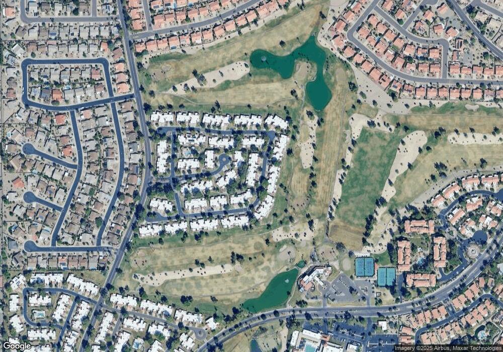
Map
Nearby Homes
- 19562 N 96th Ln Unit 80
- 9706 W Rimrock Dr Unit 95
- 9708 W Rimrock Dr Unit 96
- 9704 W Tonto Ln
- 9734 W Kerry Ln Unit 14
- 9727 W Kerry Ln
- 9455 W Behrend Dr
- 19400 N Westbrook Pkwy Unit 220
- 19400 N Westbrook Pkwy Unit 121
- 19400 N Westbrook Pkwy Unit 241
- 9839 W Utopia Rd
- 9832 W Behrend Dr
- 9646 W Taro Ln
- 9622 W Taro Ln
- 9856 W Rimrock Dr
- 19702 N 98th Ln
- 19420 N Westbrook Pkwy Unit 502
- 19093 N 97th Ln Unit 46
- 19605 N Pine Springs Dr
- 19120 N 98th Ln Unit 112
- 19556 N 96th Ln
- 19552 N 96th Ln
- 19558 N 96th Ln
- 19560 N 96th Ln
- 9620 W Rimrock Dr
- 9617 W Oraibi Dr Unit 107
- 9621 W Oraibi Dr Unit 106
- 9623 W Oraibi Dr Unit 105
- 19555 N 96th Ln Unit 30
- 19553 N 96th Ln
- 19551 N 96th Ln Unit 28
- 9615 W Oraibi Dr Unit 108
- 19557 N 96th Ln
- 19559 N 96th Ln Unit 32
- 9624 W Rimrock Dr Unit 88
- 9625 W Oraibi Dr Unit 104
- 9613 W Oraibi Dr Unit 109
- 19509 N 96th Ln Unit 27
- 9626 W Rimrock Dr Unit 89