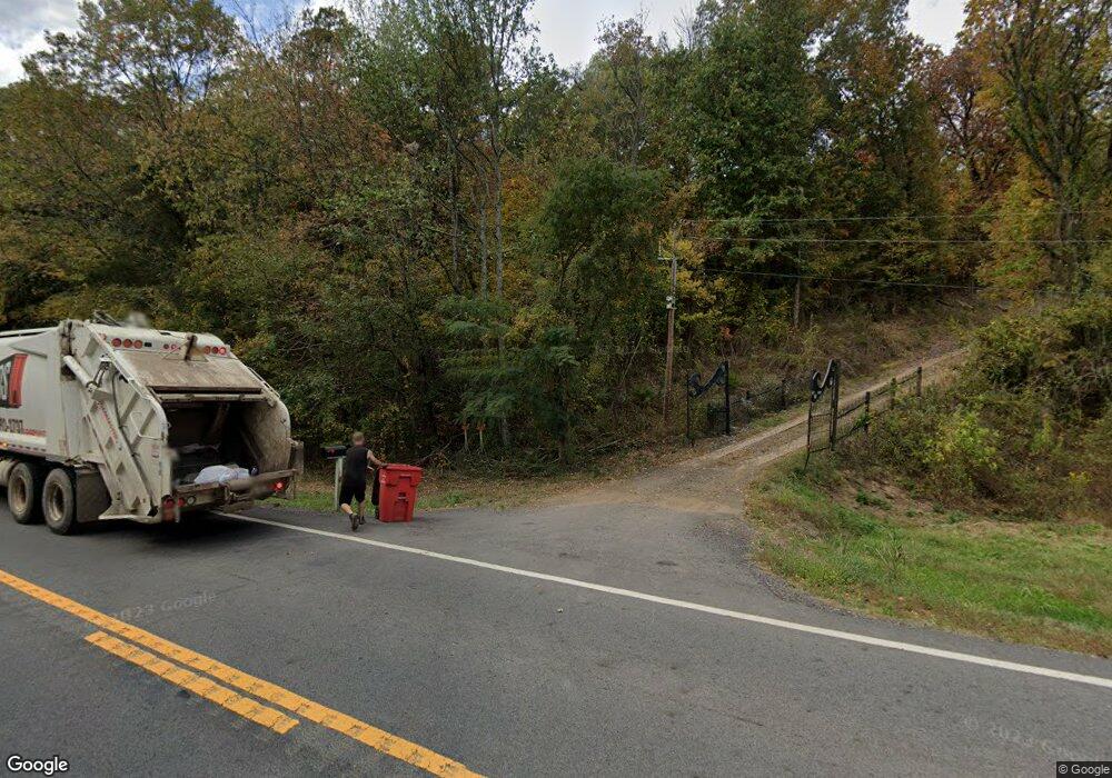
19555 N State Highway 27 Dardanelle, AR 72834
Estimated Value: $221,000 - $355,000
3
Beds
1
Bath
1,392
Sq Ft
$211/Sq Ft
Est. Value
About This Home
This home is located at 19555 N State Highway 27, Dardanelle, AR 72834 and is currently estimated at $293,088, approximately $210 per square foot. 19555 N State Highway 27 is a home located in Yell County with nearby schools including Dardanelle Primary School, Dardanelle Elementary School, and Dardanelle Middle School.
Ownership History
Date
Name
Owned For
Owner Type
Purchase Details
Closed on
Jul 11, 2018
Bought by
Potts John and Potts Deborah
Current Estimated Value
Home Financials for this Owner
Home Financials are based on the most recent Mortgage that was taken out on this home.
Original Mortgage
$190,000
Outstanding Balance
$165,027
Interest Rate
4.6%
Mortgage Type
New Conventional
Estimated Equity
$128,061
Purchase Details
Closed on
Dec 6, 1985
Bought by
Hensley
Create a Home Valuation Report for This Property
The Home Valuation Report is an in-depth analysis detailing your home's value as well as a comparison with similar homes in the area
Home Values in the Area
Average Home Value in this Area
Purchase History
| Date | Buyer | Sale Price | Title Company |
|---|---|---|---|
| Potts John | $190,000 | -- | |
| Hensley | $43,000 | -- |
Source: Public Records
Mortgage History
| Date | Status | Borrower | Loan Amount |
|---|---|---|---|
| Open | Potts John | $190,000 |
Source: Public Records
Tax History Compared to Growth
Tax History
| Year | Tax Paid | Tax Assessment Tax Assessment Total Assessment is a certain percentage of the fair market value that is determined by local assessors to be the total taxable value of land and additions on the property. | Land | Improvement |
|---|---|---|---|---|
| 2024 | $730 | $14,830 | $1,260 | $13,570 |
| 2023 | $730 | $14,830 | $1,260 | $13,570 |
| 2022 | $350 | $14,830 | $1,260 | $13,570 |
| 2021 | $321 | $14,830 | $1,260 | $13,570 |
| 2020 | $298 | $13,610 | $1,270 | $12,340 |
| 2019 | $298 | $13,610 | $1,270 | $12,340 |
| 2018 | $120 | $13,610 | $1,270 | $12,340 |
| 2017 | $436 | $13,670 | $1,330 | $12,340 |
| 2015 | $84 | $8,740 | $1,500 | $7,240 |
| 2014 | -- | $8,660 | $1,500 | $7,160 |
| 2013 | -- | $8,660 | $1,500 | $7,160 |
Source: Public Records
Map
Nearby Homes
- 11027 Cowger Ln
- 10688 Cowger Ln
- 10972 Cowger Ln Unit B
- 10972 Cowger Ln
- 13621 E Old Belleville Rd
- 21564 N State Highway 27
- 0 Slo Fork Rd Unit 24723987
- 11268 Slo Fork Rd
- 000 Slo Fork Rd
- 0 Spring Mountain Rd
- Tract 3 Pool Hollow Rd
- 8.23 Acres Pool Hollow Rd
- 12736 Alpha Rd
- 21830 N State Highway 307
- 11695 E Old Belleville Rd
- 11882 E Old Belleville Rd
- 10185 Jackson Ln
- 10935 Pin Oak Loop
- 10372 Gum Springs Rd
- 10281 Shady Ln
- 19555 Arkansas 27
- 19915 N State Highway 27
- 10769 Harkey Valley Rd
- 24355 N Highway 307
- 10775 Harkey Valley Rd
- 23981 N Highway 307
- 24181 N Highway 307
- 24039 N Highway 307
- 10082 Mountain Loop
- 24294 N Highway 307
- OFF HW 28 Co 451 Rd
- 121 Mountain Loop
- 123 Mountain Loop
- 20231 N State Highway 27
- #9 Mountain Loop
- 10179 Mountain Loop
- 10386 Harkey Valley Rd
- 10310 Harkey Valley Rd
- 10472 Cowger Ln
- 23783 N Highway 307
