1956 Columbine Dr Franktown, CO 80116
Estimated Value: $1,070,178 - $1,281,000
4
Beds
4
Baths
2,996
Sq Ft
$403/Sq Ft
Est. Value
About This Home
This home is located at 1956 Columbine Dr, Franktown, CO 80116 and is currently estimated at $1,206,045, approximately $402 per square foot. 1956 Columbine Dr is a home located in Douglas County with nearby schools including Franktown Elementary School, Sagewood Middle School, and Ponderosa High School.
Ownership History
Date
Name
Owned For
Owner Type
Purchase Details
Closed on
Jul 6, 2006
Sold by
Nyburg David L and Nyburg Sandra L
Bought by
Boyle Dennis M
Current Estimated Value
Home Financials for this Owner
Home Financials are based on the most recent Mortgage that was taken out on this home.
Original Mortgage
$375,000
Outstanding Balance
$224,222
Interest Rate
6.78%
Mortgage Type
Unknown
Estimated Equity
$981,823
Purchase Details
Closed on
May 31, 2001
Sold by
Rycor Builders Inc
Bought by
Nyburg David L and Nyburg Sandra L
Home Financials for this Owner
Home Financials are based on the most recent Mortgage that was taken out on this home.
Original Mortgage
$376,800
Interest Rate
7.07%
Purchase Details
Closed on
Jul 17, 2000
Sold by
Varney Michael R and Varney Sherry M L
Bought by
Rycor Builders Inc
Purchase Details
Closed on
Jun 15, 1998
Sold by
Douglas Co Commissioners
Bought by
Varney Michael R and Varney Sherry M L
Create a Home Valuation Report for This Property
The Home Valuation Report is an in-depth analysis detailing your home's value as well as a comparison with similar homes in the area
Home Values in the Area
Average Home Value in this Area
Purchase History
| Date | Buyer | Sale Price | Title Company |
|---|---|---|---|
| Boyle Dennis M | $607,500 | Fahtco | |
| Nyburg David L | $471,000 | Land Title | |
| Rycor Builders Inc | $115,000 | -- | |
| Varney Michael R | $75,000 | -- |
Source: Public Records
Mortgage History
| Date | Status | Borrower | Loan Amount |
|---|---|---|---|
| Open | Boyle Dennis M | $375,000 | |
| Previous Owner | Nyburg David L | $376,800 |
Source: Public Records
Tax History Compared to Growth
Tax History
| Year | Tax Paid | Tax Assessment Tax Assessment Total Assessment is a certain percentage of the fair market value that is determined by local assessors to be the total taxable value of land and additions on the property. | Land | Improvement |
|---|---|---|---|---|
| 2024 | $4,948 | $67,790 | $28,840 | $38,950 |
| 2023 | $5,003 | $67,790 | $28,840 | $38,950 |
| 2022 | $4,359 | $52,070 | $18,360 | $33,710 |
| 2021 | $4,518 | $52,070 | $18,360 | $33,710 |
| 2020 | $4,096 | $48,310 | $16,530 | $31,780 |
| 2019 | $4,116 | $48,310 | $16,530 | $31,780 |
| 2018 | $3,731 | $43,020 | $12,820 | $30,200 |
| 2017 | $3,474 | $43,020 | $12,820 | $30,200 |
| 2016 | $3,095 | $37,580 | $9,430 | $28,150 |
| 2015 | $3,165 | $37,580 | $9,430 | $28,150 |
| 2014 | $3,069 | $34,060 | $9,150 | $24,910 |
Source: Public Records
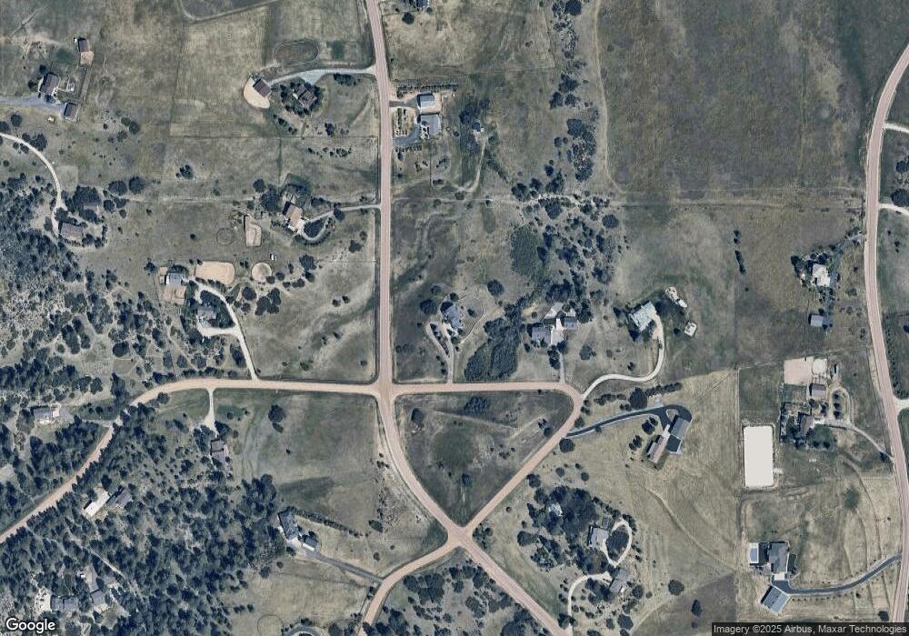
Map
Nearby Homes
- 2218 Deerpath Rd
- 1579 Deerpath Rd
- 1730 Ward Cir
- 2130 Frontier Ln
- 10554 Tanglewood Rd
- 8788 E Tanglewood Rd
- 2219 Meadow Green Cir
- 2231 Meadow Green Cir
- 2630 Frontier Ln
- 9212 Tanglewood Rd
- 11115 Evening Hunt Rd
- 11168 Wild Chase Place
- 75 Evening Hunt Rd
- 2705 Fox View Trail
- 9142 Warriors Mark Dr
- 9162 Warriors Mark Dr
- 78 Evening Hunt Rd
- 2741 Morning Run Ct
- 2898 Flintwood Rd
- 9141 Red Primrose St
- 1906 Columbine Dr
- 2101 Deerpath Rd
- 1878 Columbine Dr
- 1805 Ward Cir
- 1848 Columbine Dr
- 1706 Deerpath Rd
- 1721 Columbine Dr
- 2137 Deerpath Rd
- 1800 Ward Cir
- 2154 Deerpath Rd
- 2031 Deerpath Trail
- 1961 Deerpath Trail
- 1736 Ward Cir
- 2100 Bibles Hill Dr
- 1658 Columbine Dr
- 1695 Deerpath Rd
- 1885 Deerpath Trail
- 1779 Ward Cir
- 1669 Columbine Dr
- 2201 Deerpath Rd