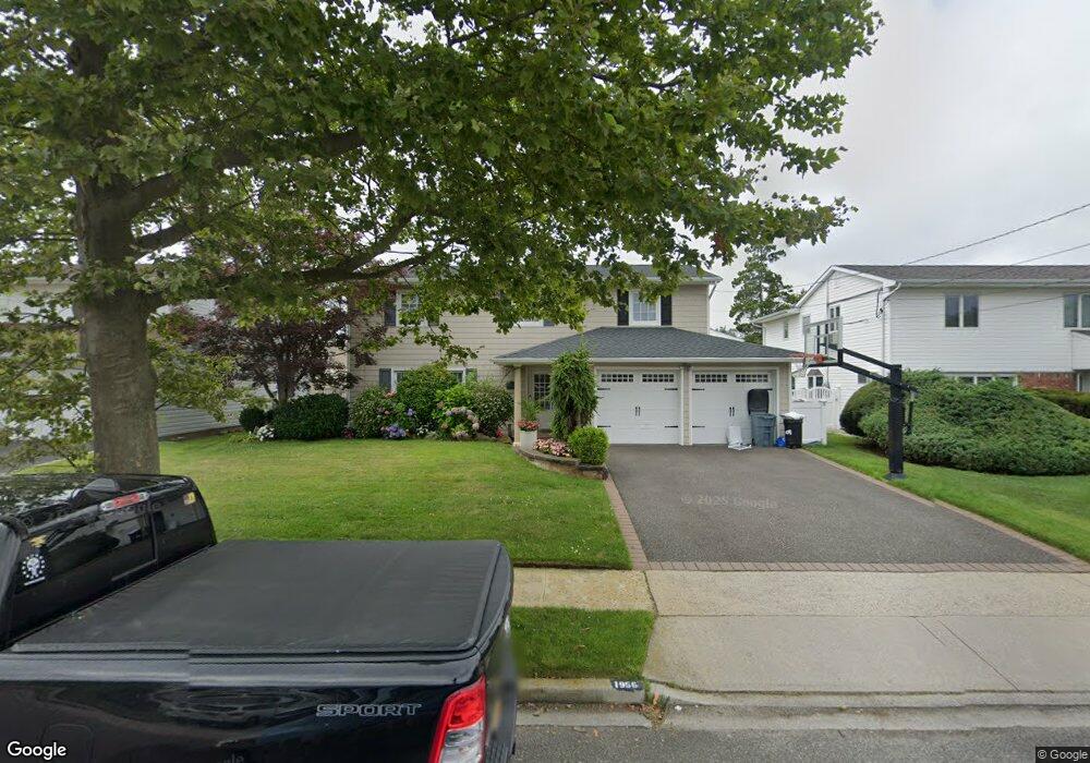
1956 Cynthia Ln Merrick, NY 11566
Estimated Value: $990,504 - $1,165,000
--
Bed
3
Baths
2,409
Sq Ft
$447/Sq Ft
Est. Value
About This Home
This home is located at 1956 Cynthia Ln, Merrick, NY 11566 and is currently estimated at $1,077,752, approximately $447 per square foot. 1956 Cynthia Ln is a home located in Nassau County with nearby schools including Burcham Elementary School, Merrick Avenue Middle School, and John F. Kennedy High School.
Ownership History
Date
Name
Owned For
Owner Type
Purchase Details
Closed on
Jan 3, 2014
Sold by
Klein Jeffrey S and Klein Ruth L
Bought by
Cohen Jeffrey and Cohen Jennifer M
Current Estimated Value
Home Financials for this Owner
Home Financials are based on the most recent Mortgage that was taken out on this home.
Original Mortgage
$500,000
Outstanding Balance
$378,340
Interest Rate
4.45%
Mortgage Type
Purchase Money Mortgage
Estimated Equity
$699,412
Purchase Details
Closed on
Mar 4, 1999
Sold by
Reinbach Arhur Martha
Bought by
Klein Jeffrey L and Klein Ruth S
Create a Home Valuation Report for This Property
The Home Valuation Report is an in-depth analysis detailing your home's value as well as a comparison with similar homes in the area
Home Values in the Area
Average Home Value in this Area
Purchase History
| Date | Buyer | Sale Price | Title Company |
|---|---|---|---|
| Cohen Jeffrey | $625,000 | -- | |
| Klein Jeffrey L | $350,000 | -- |
Source: Public Records
Mortgage History
| Date | Status | Borrower | Loan Amount |
|---|---|---|---|
| Open | Cohen Jeffrey | $500,000 |
Source: Public Records
Tax History Compared to Growth
Tax History
| Year | Tax Paid | Tax Assessment Tax Assessment Total Assessment is a certain percentage of the fair market value that is determined by local assessors to be the total taxable value of land and additions on the property. | Land | Improvement |
|---|---|---|---|---|
| 2025 | $19,822 | $658 | $239 | $419 |
| 2024 | $4,288 | $636 | $231 | $405 |
| 2023 | $17,839 | $675 | $253 | $422 |
| 2022 | $17,839 | $702 | $255 | $447 |
| 2021 | $25,264 | $682 | $248 | $434 |
| 2020 | $17,292 | $847 | $634 | $213 |
| 2019 | $16,112 | $907 | $636 | $271 |
| 2018 | $14,720 | $968 | $0 | $0 |
| 2017 | $13,233 | $1,274 | $645 | $629 |
| 2016 | $18,685 | $1,274 | $645 | $629 |
| 2015 | $5,322 | $1,341 | $679 | $662 |
| 2014 | $5,322 | $1,341 | $679 | $662 |
| 2013 | $5,035 | $1,341 | $679 | $662 |
Source: Public Records
Map
Nearby Homes
- 1962 Cynthia Ln
- 1950 Cynthia Ln
- 1893 Stanley Dr
- 1944 Cynthia Ln
- 1968 Cynthia Ln
- 1881 Stanley Dr
- 1957 Cynthia Ln
- 1901 Stanley Dr
- 1951 Cynthia Ln
- 1963 Cynthia Ln
- 1875 Stanley Dr
- 1938 Cynthia Ln
- 1919 Stanley Dr
- 1969 Cynthia Ln
- 1945 Cynthia Ln
- 1980 Cynthia Ln
- 1939 Cynthia Ln
- 19 Cynthia Ln
- 1869 Stanley Dr
- 1975 Cynthia Ln