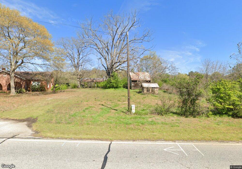
1956 Highway 198 Carnesville, GA 30521
Estimated Value: $328,000 - $713,031
3
Beds
2
Baths
1,632
Sq Ft
$338/Sq Ft
Est. Value
About This Home
This home is located at 1956 Highway 198, Carnesville, GA 30521 and is currently estimated at $552,344, approximately $338 per square foot. 1956 Highway 198 is a home located in Franklin County with nearby schools including Franklin County High School.
Ownership History
Date
Name
Owned For
Owner Type
Purchase Details
Closed on
May 31, 2006
Sold by
Shaw Charles G
Bought by
Klaudt Kenton
Current Estimated Value
Home Financials for this Owner
Home Financials are based on the most recent Mortgage that was taken out on this home.
Original Mortgage
$417,000
Outstanding Balance
$228,525
Interest Rate
8%
Mortgage Type
New Conventional
Estimated Equity
$323,819
Purchase Details
Closed on
Sep 22, 2005
Sold by
Bessent William E
Bought by
Shaw Charles G
Purchase Details
Closed on
Sep 19, 2005
Sold by
Bessent Sheldonia C
Bought by
Bessent William E
Create a Home Valuation Report for This Property
The Home Valuation Report is an in-depth analysis detailing your home's value as well as a comparison with similar homes in the area
Home Values in the Area
Average Home Value in this Area
Purchase History
| Date | Buyer | Sale Price | Title Company |
|---|---|---|---|
| Klaudt Kenton | $264,000 | -- | |
| Shaw Charles G | $192,500 | -- | |
| Bessent William E | -- | -- |
Source: Public Records
Mortgage History
| Date | Status | Borrower | Loan Amount |
|---|---|---|---|
| Open | Klaudt Kenton | $417,000 |
Source: Public Records
Tax History Compared to Growth
Tax History
| Year | Tax Paid | Tax Assessment Tax Assessment Total Assessment is a certain percentage of the fair market value that is determined by local assessors to be the total taxable value of land and additions on the property. | Land | Improvement |
|---|---|---|---|---|
| 2025 | $7,376 | $321,193 | $77,697 | $243,496 |
| 2024 | $6,953 | $294,126 | $49,418 | $244,708 |
| 2023 | $6,847 | $267,387 | $44,925 | $222,462 |
| 2022 | $6,173 | $241,269 | $39,166 | $202,103 |
| 2021 | $5,755 | $211,183 | $39,166 | $172,017 |
| 2020 | $5,816 | $211,183 | $39,166 | $172,017 |
| 2019 | $5,619 | $211,183 | $39,166 | $172,017 |
| 2018 | $4,972 | $187,094 | $37,132 | $149,962 |
| 2017 | $5,170 | $187,094 | $37,132 | $149,962 |
| 2016 | $4,965 | $172,140 | $37,132 | $135,008 |
| 2015 | -- | $172,140 | $37,132 | $135,008 |
| 2014 | -- | $175,931 | $37,132 | $138,800 |
| 2013 | -- | $177,528 | $37,131 | $140,396 |
Source: Public Records
Map
Nearby Homes
- 0 Morris Trail Unit 10394631
- 0 Morris Trail Unit 7470661
- 0 Georgia 198
- 4001 Highway 198
- 95 Farmers Academy Rd
- 0 Old Federal Rd Unit 6931372
- 0 Sandy Cross Rd Unit 10657604
- 340 Mcfarlin Blvd
- 6343 Georgia 198
- 125 Lewis Crump Rd
- HWY 51 Owl Hollow Rd
- 0 Falcon Ln Unit 10495019
- 0 Falcon Ln Unit 1024877
- 5821 Georgia 320
- 8188 Sandy Cross Rd
- 1845 Old Stagecoach Rd
- 319 Hunters Creek Rd
- 7660 Sandy Cross Rd
- 110 Adaline Ct
- 7 Crest View Cir
- 2058 Highway 198
- 1834 Highway 198
- 1919 Georgia 198
- 1919 Highway 198
- 1919 Highway 198
- 1991 Highway 198
- 1991 Georgia 198
- 1925 Georgia 198
- 1925 Highway 198
- 2078 Highway 198
- 2045 Highway 198
- 1726 Highway 198
- 190 Deer Meadows Estates Rd
- 2168 Highway 198
- 2168 Highway 198
- 2121 Highway 198
- 2168 Georgia 198
- 111 Thomas Ln
- Lot 2 Deer Meadows Rd
- 1767 Highway 198