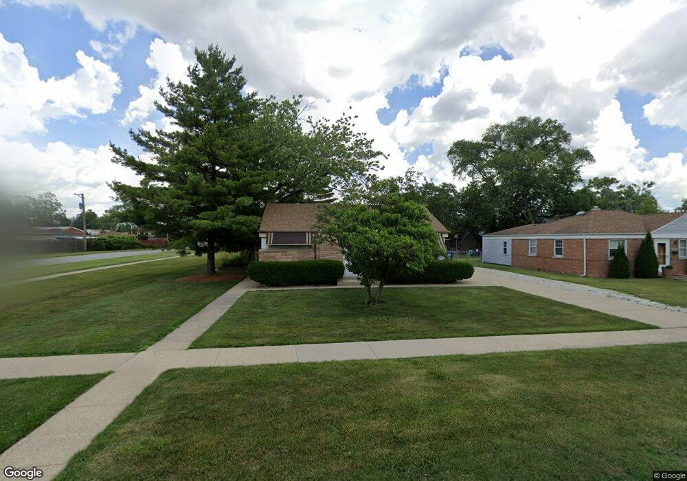
1956 Laura Ln Des Plaines, IL 60018
Estimated Value: $303,000 - $347,000
2
Beds
2
Baths
888
Sq Ft
$364/Sq Ft
Est. Value
About This Home
This home is located at 1956 Laura Ln, Des Plaines, IL 60018 and is currently estimated at $323,619, approximately $364 per square foot. 1956 Laura Ln is a home located in Cook County with nearby schools including Orchard Place Elementary School, Algonquin Middle School, and Maine West High School.
Create a Home Valuation Report for This Property
The Home Valuation Report is an in-depth analysis detailing your home's value as well as a comparison with similar homes in the area
Home Values in the Area
Average Home Value in this Area
Tax History
| Year | Tax Paid | Tax Assessment Tax Assessment Total Assessment is a certain percentage of the fair market value that is determined by local assessors to be the total taxable value of land and additions on the property. | Land | Improvement |
|---|---|---|---|---|
| 2025 | $3,073 | $26,000 | $9,623 | $16,377 |
| 2024 | $3,073 | $23,000 | $8,019 | $14,981 |
| 2023 | $3,094 | $23,000 | $8,019 | $14,981 |
| 2022 | $3,094 | $23,000 | $8,019 | $14,981 |
| 2021 | $3,394 | $17,703 | $6,682 | $11,021 |
| 2020 | $3,662 | $17,703 | $6,682 | $11,021 |
| 2019 | $3,692 | $19,891 | $6,682 | $13,209 |
| 2018 | $3,277 | $17,140 | $5,880 | $11,260 |
| 2017 | $3,651 | $18,502 | $5,880 | $12,622 |
| 2016 | $5,141 | $18,502 | $5,880 | $12,622 |
| 2015 | $3,537 | $16,196 | $5,078 | $11,118 |
| 2014 | $4,033 | $16,196 | $5,078 | $11,118 |
| 2013 | $4,420 | $17,947 | $5,078 | $12,869 |
Source: Public Records
Map
Nearby Homes
- 2600 S Scott St
- 2646 Maple St
- 2469 Parkwood Ln
- 1757 Farwell Ave
- 38 E Touhy Ave
- 1641 E Touhy Ave
- 1629 E Touhy Ave
- 2035 Fargo Ave
- 2945 S Scott St
- 1922 Fargo Ave
- 2993 Curtis St Unit 13
- 1738 Lunt Ave
- 2054 Birch St
- 300 Thames Pkwy Unit 3D
- 1370 Fargo Ave Unit E
- 1881 Orchard St
- 500 Thames Pkwy Unit 3G
- 500 Thames Pkwy Unit 1F
- 2500 Archbury Ln Unit 1A
- 44 Park Ln Unit 232
- 2511 Eisenhower Dr
- 1976 Laura Ln Unit 5A
- 2501 Eisenhower Dr
- 2531 Peter Rd
- 2530 S Scott St
- 2517 Peter Rd
- 2550 S Scott St
- 1948 Laura Ln
- 2511 Peter Rd
- 2491 Eisenhower Dr
- 2526 S Scott St
- 1955 Laura Ln
- 1965 Laura Ln
- 1951 Laura Ln
- 2501 Peter Rd
- 1975 Laura Ln
- 2481 Eisenhower Dr
- 2516 S Scott St
- 2491 Peter Rd
- 1945 Laura Ln
Your Personal Tour Guide
Ask me questions while you tour the home.