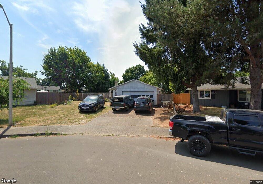
1956 NE Shannon Dr Hillsboro, OR 97124
Northwest Hillsboro NeighborhoodEstimated Value: $402,000 - $450,442
3
Beds
1
Bath
1,040
Sq Ft
$413/Sq Ft
Est. Value
About This Home
This home is located at 1956 NE Shannon Dr, Hillsboro, OR 97124 and is currently estimated at $429,111, approximately $412 per square foot. 1956 NE Shannon Dr is a home located in Washington County with nearby schools including Mooberry Elementary School, J.W. Poynter Middle School, and Liberty High School.
Ownership History
Date
Name
Owned For
Owner Type
Purchase Details
Closed on
May 29, 2013
Sold by
Betts John R
Bought by
Rios Rosalia Tapia
Current Estimated Value
Home Financials for this Owner
Home Financials are based on the most recent Mortgage that was taken out on this home.
Original Mortgage
$164,835
Outstanding Balance
$115,992
Interest Rate
3.25%
Mortgage Type
FHA
Estimated Equity
$313,119
Purchase Details
Closed on
Sep 23, 1998
Sold by
Norman Jenny G and Norman B H
Bought by
Betts John R
Home Financials for this Owner
Home Financials are based on the most recent Mortgage that was taken out on this home.
Original Mortgage
$100,000
Interest Rate
6.88%
Create a Home Valuation Report for This Property
The Home Valuation Report is an in-depth analysis detailing your home's value as well as a comparison with similar homes in the area
Home Values in the Area
Average Home Value in this Area
Purchase History
| Date | Buyer | Sale Price | Title Company |
|---|---|---|---|
| Rios Rosalia Tapia | $168,500 | Ticor Title Company | |
| Betts John R | $125,000 | Ticor Title Insurance |
Source: Public Records
Mortgage History
| Date | Status | Borrower | Loan Amount |
|---|---|---|---|
| Open | Rios Rosalia Tapia | $164,835 | |
| Previous Owner | Betts John R | $100,000 |
Source: Public Records
Tax History Compared to Growth
Tax History
| Year | Tax Paid | Tax Assessment Tax Assessment Total Assessment is a certain percentage of the fair market value that is determined by local assessors to be the total taxable value of land and additions on the property. | Land | Improvement |
|---|---|---|---|---|
| 2025 | $3,162 | $193,450 | -- | -- |
| 2024 | $3,072 | $187,820 | -- | -- |
| 2023 | $3,072 | $182,350 | $0 | $0 |
| 2022 | $2,989 | $182,350 | $0 | $0 |
| 2021 | $2,929 | $171,890 | $0 | $0 |
| 2020 | $2,866 | $166,890 | $0 | $0 |
| 2019 | $2,783 | $162,030 | $0 | $0 |
| 2018 | $2,664 | $157,320 | $0 | $0 |
| 2017 | $2,568 | $152,740 | $0 | $0 |
| 2016 | $2,498 | $148,300 | $0 | $0 |
| 2015 | $2,397 | $143,990 | $0 | $0 |
| 2014 | $2,384 | $139,800 | $0 | $0 |
Source: Public Records
Map
Nearby Homes
- 2080 NE Darby St
- 1450 NE Sunrise Ln
- 1455 NE Jessica Loop
- 1740 NE Darby St
- 1442 NE 14th Ave
- 2136 NE 13th Ave
- 1822 NE Barberry Dr
- 1239 NE Setting Sun Dr
- 1235 NE Platt St
- 3113 NE 13th Place
- 1412 NE Alexandria Place
- 2525 NE Charlois Dr
- 975 NE Ayrshire Dr
- 2619 NE Charlois Dr
- 2570 NE Grant St
- 1269 NE Grant St
- 773 NE Kathryn St
- 3206 NE 13th Place
- 886 NE Creeksedge Dr
- 1433 NE Edgefield St
- 1938 NE Shannon Dr
- 1982 NE Shannon Dr
- 1927 NE Thomas St
- 1742 NE 18th Ct
- 1953 NE Thomas St
- 1728 NE 18th Ct
- 1877 NE Thomas St
- 1922 NE Shannon Dr
- 1990 NE Shannon Dr
- 1979 NE Thomas St
- 1746 NE 18th Ct
- 1929 NE Shannon Dr
- 2021 NE Thomas St
- 2016 NE Shannon Dr
- 1892 NE Kathryn St
- 1756 NE 18th Ct
- 1941 NE Shannon Dr
- 1920 NE Thomas St
- 1946 NE Thomas St
- 1858 NE Kathryn St