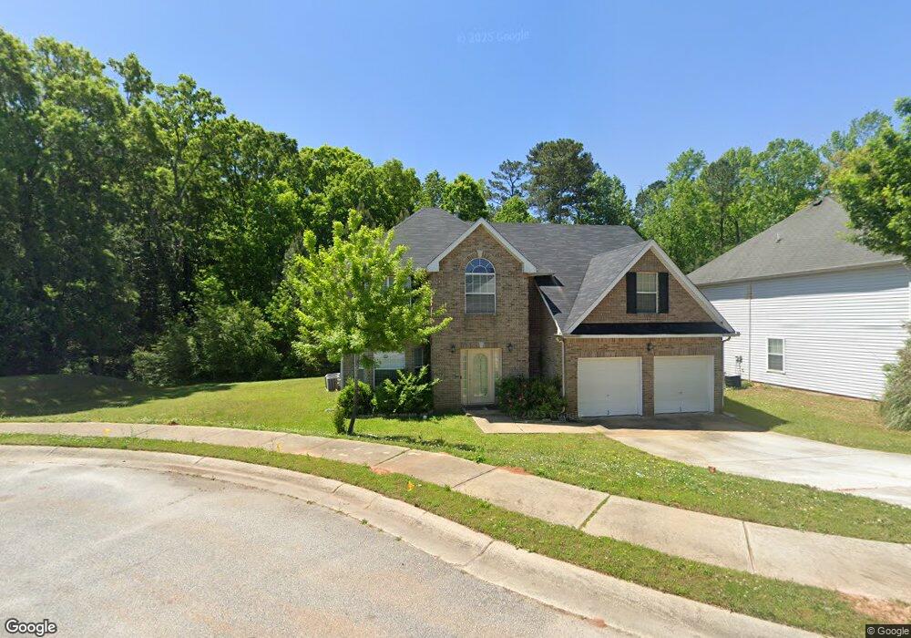
1956 Sawgrass Dr Hampton, GA 30228
Estimated Value: $298,000 - $317,000
4
Beds
4
Baths
2,727
Sq Ft
$113/Sq Ft
Est. Value
About This Home
This home is located at 1956 Sawgrass Dr, Hampton, GA 30228 and is currently estimated at $307,887, approximately $112 per square foot. 1956 Sawgrass Dr is a home located in Clayton County with nearby schools including Michelle Obama STEM Elementary Academy, Eddie White Academy, and Lovejoy High School.
Ownership History
Date
Name
Owned For
Owner Type
Purchase Details
Closed on
May 21, 2007
Sold by
Legacy Communities Sawgrass Es
Bought by
Hollimon Karlene P
Current Estimated Value
Home Financials for this Owner
Home Financials are based on the most recent Mortgage that was taken out on this home.
Original Mortgage
$172,890
Outstanding Balance
$104,074
Interest Rate
6.16%
Mortgage Type
New Conventional
Estimated Equity
$203,813
Create a Home Valuation Report for This Property
The Home Valuation Report is an in-depth analysis detailing your home's value as well as a comparison with similar homes in the area
Home Values in the Area
Average Home Value in this Area
Purchase History
| Date | Buyer | Sale Price | Title Company |
|---|---|---|---|
| Hollimon Karlene P | $184,000 | -- |
Source: Public Records
Mortgage History
| Date | Status | Borrower | Loan Amount |
|---|---|---|---|
| Open | Hollimon Karlene P | $172,890 |
Source: Public Records
Tax History
| Year | Tax Paid | Tax Assessment Tax Assessment Total Assessment is a certain percentage of the fair market value that is determined by local assessors to be the total taxable value of land and additions on the property. | Land | Improvement |
|---|---|---|---|---|
| 2025 | $4,482 | $117,040 | $9,363 | $107,677 |
| 2024 | $4,566 | $117,040 | $9,363 | $107,677 |
| 2023 | $4,448 | $123,200 | $10,400 | $112,800 |
| 2022 | $2,645 | $67,400 | $10,400 | $57,000 |
| 2021 | $2,662 | $67,400 | $10,400 | $57,000 |
| 2020 | $2,696 | $67,400 | $10,400 | $57,000 |
| 2019 | $2,273 | $56,000 | $9,600 | $46,400 |
| 2018 | $2,273 | $56,000 | $9,600 | $46,400 |
| 2017 | $2,279 | $65,354 | $9,600 | $55,754 |
| 2016 | $2,544 | $62,532 | $9,600 | $52,932 |
| 2015 | $1,867 | $0 | $0 | $0 |
| 2014 | $1,754 | $44,094 | $9,600 | $34,494 |
Source: Public Records
Map
Nearby Homes
- 2017 Sawgrass Dr
- 1738 Blue Heron Way
- 2108 Sawgrass Dr
- 1828 Sandy Trail Dr
- 2234 Sawgrass Dr
- 1744 Sandy Trail Dr
- 1757 Glen View Way
- 1938 Bertha Ct
- 1478 Farrell Ln
- 11446 Ashefield Ln
- 11447 S Grove Dr
- 1737 Fielding Way
- 1754 Grove Way
- 11569 Kades Trail
- 1538 Woodvale St
- 1740 Fielding Way
- 1915 Grove Way
- 11569 Kimberly Way
- 1942 Grove Way
- 2021 Registry Dr
- 1962 Sawgrass Dr
- 1968 Sawgrass Dr
- 1957 Sawgrass Dr
- 1974 Sawgrass Dr
- 1951 Sawgrass Dr
- 1960 Sea Oats Dr Unit 202
- 1980 Sawgrass Dr
- 1931 Sawgrass Dr
- 1954 Sea Oats Dr
- 1945 Sawgrass Dr
- 1984 Sawgrass Dr
- 1948 Sea Oats Dr
- 1948 Sea Oats Dr Unit 204
- 1939 Sawgrass Dr
- 1983 Sawgrass Dr
- 1990 Sawgrass Dr
- 1942 Sea Oats Dr
- 1937 Sandy Trail Dr
- 1933 Sawgrass Dr
- 1989 Sawgrass Dr
Your Personal Tour Guide
Ask me questions while you tour the home.