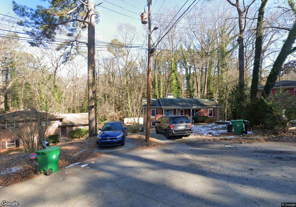
1956 Shannon Ridge Ct Decatur, GA 30032
Estimated Value: $205,000 - $234,000
3
Beds
2
Baths
1,224
Sq Ft
$179/Sq Ft
Est. Value
About This Home
This home is located at 1956 Shannon Ridge Ct, Decatur, GA 30032 and is currently estimated at $219,159, approximately $179 per square foot. 1956 Shannon Ridge Ct is a home located in DeKalb County with nearby schools including Toney Elementary School, Columbia Middle School, and Columbia High School.
Ownership History
Date
Name
Owned For
Owner Type
Purchase Details
Closed on
Sep 29, 1994
Sold by
Cobb Dwight Virginia A
Bought by
Coleman Charles E Alice
Current Estimated Value
Home Financials for this Owner
Home Financials are based on the most recent Mortgage that was taken out on this home.
Original Mortgage
$76,000
Interest Rate
9%
Mortgage Type
VA
Create a Home Valuation Report for This Property
The Home Valuation Report is an in-depth analysis detailing your home's value as well as a comparison with similar homes in the area
Home Values in the Area
Average Home Value in this Area
Purchase History
| Date | Buyer | Sale Price | Title Company |
|---|---|---|---|
| Coleman Charles E Alice | $76,000 | -- |
Source: Public Records
Mortgage History
| Date | Status | Borrower | Loan Amount |
|---|---|---|---|
| Closed | Coleman Charles E Alice | $76,000 |
Source: Public Records
Tax History Compared to Growth
Tax History
| Year | Tax Paid | Tax Assessment Tax Assessment Total Assessment is a certain percentage of the fair market value that is determined by local assessors to be the total taxable value of land and additions on the property. | Land | Improvement |
|---|---|---|---|---|
| 2025 | $451 | $82,040 | $24,560 | $57,480 |
| 2024 | $439 | $84,320 | $24,560 | $59,760 |
| 2023 | $439 | $83,360 | $24,560 | $58,800 |
| 2022 | $2,540 | $75,760 | $14,040 | $61,720 |
| 2021 | $2,159 | $64,680 | $14,040 | $50,640 |
| 2020 | $1,814 | $54,520 | $12,000 | $42,520 |
| 2019 | $1,734 | $52,720 | $12,000 | $40,720 |
| 2018 | $1,304 | $50,560 | $12,000 | $38,560 |
| 2017 | $1,385 | $41,200 | $3,200 | $38,000 |
| 2016 | $653 | $20,920 | $3,200 | $17,720 |
| 2014 | $604 | $19,320 | $640 | $18,680 |
Source: Public Records
Map
Nearby Homes
- 1973 Glendale Dr
- 2962 Mcafee Rd
- 3110 Mcafee Rd
- 2003 Rosewood Rd
- 2952 Mcafee Rd
- 1932 Rosewood Rd
- 1968 Rosewood Rd
- 1923 Rosewood Rd
- 1875 Creekside Ct
- 2922 Dale Place
- 1911 Rosewood Rd
- 2048 Glendale Dr
- 1841 Glendale Dr
- 2024 Rosewood Rd
- 1834 Hillsdale Dr
- 3723 Glenwood Rd
- 1996 Meadow Ln
- 3729 Glenwood Rd
- 2917 Mcafee Rd
- 1884 Meadow Ln
- 1960 Shannon Ridge Ct
- 1955 Shannon Ridge Ct
- 1964 Shannon Ridge Ct
- 1959 Shannon Ridge Ct
- 1953 Crestmoore Dr
- 1970 Shannon Ridge Ct
- 1963 Shannon Ridge Ct
- 1947 Crestmoore Dr
- 1959 Crestmoore Dr
- 1969 Shannon Ridge Ct
- 1969 Shannon
- 1921 Wildwood Dr
- 1941 Crestmoore Dr
- 1965 Crestmoore Dr
- 1931 Wildwood Dr
- 1976 Shannon Ridge Ct
- 1927 Wildwood Dr
- 1933 Crestmoore Dr
- 1977 Shannon Ridge Ct
- 1969 Crestmoore Dr